Mesquite in Clark County, Nevada — The American Mountains (Southwest)
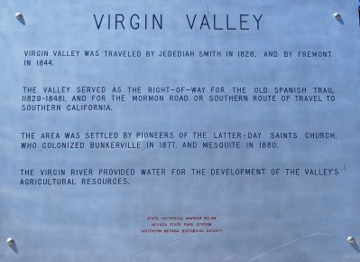
Virgin Valley
The valley served as the right-of-way for the Old Spanish Trail (1829-1848) and for the Mormon road or southern route of travel to southern California.
The areas was settled by pioneers of the Latter-Day Saints Church, who colonized Bunkerville in 1877, and Mesquite in 1880.
The Virgin River provided water for the development of the valley’s agricultural resources.
Erected 1969 by Nevada State Park System and Southern Nevada Historical Society. (Marker Number 56.)
Topics and series. This historical marker is listed in these topic lists: Churches & Religion • Settlements & Settlers • Waterways & Vessels. In addition, it is included in the Old Spanish National Trail series list. A significant historical year for this entry is 1826.
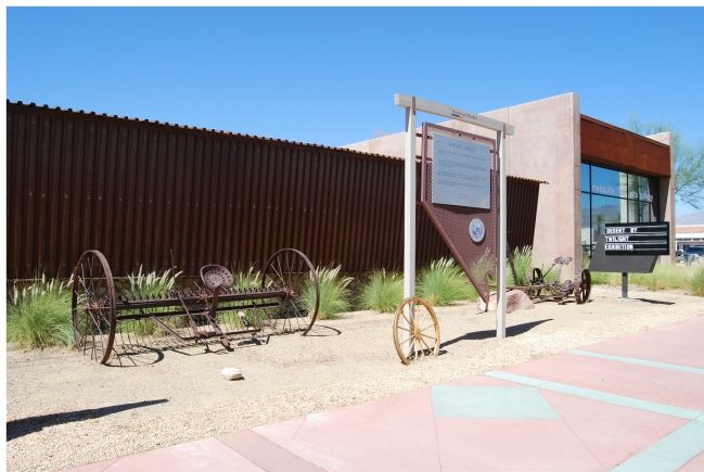
Location. 36° 48.247′ N, 114° 4.113′ W. Marker is in Mesquite, Nevada, in Clark County. Marker is at the intersection of West Mesquite Boulevard (Nevada Route 144) and Yucca Street, on the right when traveling west on West Mesquite Boulevard. Touch for map. Marker is at or near this postal address: 35 West Mesquite Boulevard, Mesquite NV 89027, United States of America. Touch for directions.
Other nearby markers. At least 5 other markers are within walking distance of this marker . Museum and Fire House (here, next to this marker); Abbott Way Station (here, next to this marker); The Old Spanish Trail (within shouting distance of this marker); Egg House / Telephone Building (within shouting distance of this marker); Tithing Lot (about 500 feet away, measured in a direct line). Touch for a list and map of all markers in Mesquite.
Credits. This page was last revised on October 14, 2020. It was originally submitted on June 24, 2007, by Dawn Bowen of Fredericksburg, Virginia. This page has been viewed 1,893 times since then and 61 times this year. Photos: 1, 2. submitted on June 24, 2007, by Dawn Bowen of Fredericksburg, Virginia. • J. J. Prats was the editor who published this page.

