Monroe in Monroe County, Michigan — The American Midwest (Great Lakes)
Historic Crossroad
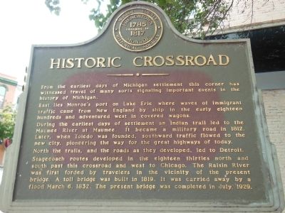
From the earliest days of Michigan settlement this corner has witnessed travel of many sorts signaling important events in the history of Michigan.
East lies Monroe’s port on Lake Erie where waves of immigrant traffic came from New England by ship in the early eighteen hundreds and adventured west in covered wagons.
During the earliest days of settlement an Indian trail led to the Maumee River at Maumee. It became a military road in 1812. Later, when Toledo was founded, southward traffic flowed to the new city, pioneering the way for the great highways of today.
North the trails, and the roads as they developed, led to Detroit. Stagecoach lines developed in the eighteen thirties north and south past this crossroad and west to Chicago. The Raisin River was first forded by travelers in the vicinity of the present bridge. A toll bridge was built in 1819. It was carried away by a flood March 6, 1832. The present bridge was completed in July, 1929.
Erected by Monroe County Historical Society.
Topics. This historical marker is listed in these topic lists: Native Americans • Roads & Vehicles • Settlements & Settlers. A significant historical date for this entry is March 6, 1913.
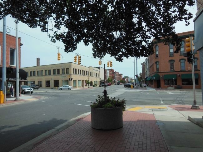
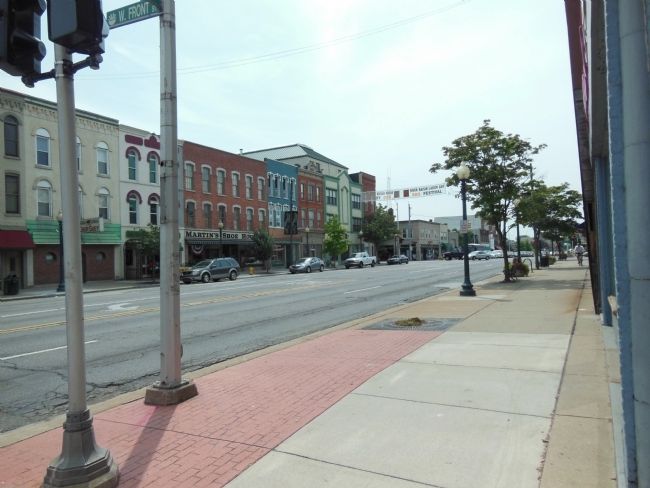
Location. 41° 54.983′ N, 83° 23.869′ W. Marker is in Monroe, Michigan, in Monroe County. Marker is at the intersection of West Front Street and South Monroe Street, on the left when traveling west on West Front Street. The marker is located on the southwest corner of the intersection. Touch for map. Marker is at or near this postal address: 5 West Front Street, Monroe MI 48161, United States of America. Touch for directions.
Other nearby markers. At least 8 other markers are within walking distance of this marker. Editor Ellis, 1825 (about 300 feet away, measured in a direct line); Dr. George Francis Heath (about 500 feet away); Doctor Eduard Dorsch (about 500 feet away); Old Whipping Post (about 500 feet away); Eisenmann-Enteman Building (about 500 feet away); First Presbyterian Church (about 500 feet away); Monroe Bank and Trust (about 500 feet away); Monroe Street Bridge (about 500 feet away). Touch for a list and map of all markers in Monroe.
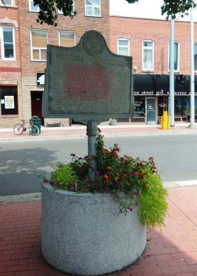
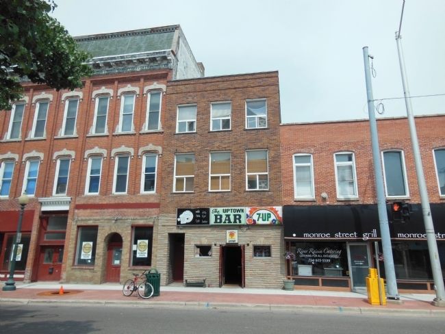
More about this marker. The marker is standing in a permanent flower pot at the corner of West Front Street and South Monroe Street, on the north side of the Monroe White Sewing Center building. The marker is weathered and faded.
Also see . . . History of the City of Monroe. City website entry:
Because of the area’s abundance of food and easy transport found along the River Raisin and Lake Erie, there probably were people who used Monroe as either a crossroads, camp site, or village for many hundreds of years before the first European explorers visited the area. But
so far the earliest documented presence in Monroe that archaeologists have found are artifacts they have unearthed at the northwest corner of North Dixie Highway and East Elm Avenue under the first of several excavations commissioned by the City of Monroe that took place 1999-2003. Those objects document Native American Indian presence circa 1550-1650 A.D. (Submitted on April 1, 2014, by Cosmos Mariner of Cape Canaveral, Florida.)
Credits. This page was last revised on March 16, 2022. It was originally submitted on April 1, 2014, by Cosmos Mariner of Cape Canaveral, Florida. This page has been viewed 604 times since then and 31 times this year. Last updated on December 30, 2018, by Cosmos Mariner of Cape Canaveral, Florida. Photos: 1, 2, 3, 4, 5. submitted on April 1, 2014, by Cosmos Mariner of Cape Canaveral, Florida. • Andrew Ruppenstein was the editor who published this page.
