Savage in Howard County, Maryland — The American Northeast (Mid-Atlantic)
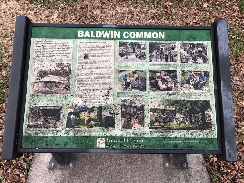
Baldwin Common
What Was Here Before The Park?
For thousands of years, this area was the domain of Algonquian speaking people. In 1608, Captain John Smith sailed up the river called "Pawtuxent" and visited tribal villages along its shores.
In 1632, the King of England claimed this land and chartered it to Cecil Calvert, the first Lord Baltimore. The charter named the colony "Maryland" after Henrietta Maria, wife of King Charles I. The Calverts granted plots to settlers from England.
In 1659, this land was part of 6,000 acres granted to Henry Ridgely of Devonshire, England. In 1865, he surveyed it and named it "Ridgely's Forest."
In the next 100 years, this property changed hands many times and in 1759, Joseph White included it in a parcel he named "White's Contrivance." He owned an adjacent piece of land called "Mill Land" where he built White's Mill.
In 1822, John Savage of Philadelphia partnered with the Williams brothers of Baltimore to charter the Savage Manufacturing Company. The next year, Savage bought White's Contrivance from Gideon (White's son) for land to house the millworkers, and it became the company-town, known as Savage.
By 1921, the town's population had grown and the Savage Elementary School was built at this site. Yet for many years before, a ravine on this lot had been a dumping ground. When the ravine was filled with soil, the buried trash slowly caused the ground to settle, the school walls to crack, and the building to be condemned.
In 1937, the school was torn down and the younger children attended temporary classes in the Memorial Hall. A few pieces of play equipment remained on the grounds, and people of Savage used the area for events such as Savage Days and carnivals.
In 1977, Howard County purchased the lot adjacent to the Memorial Hall property and built Baldwin Common, which opened on August 26, 1978. It was designed to resemble a village green for the town of Savage. The Department of Recreation and Parks maintains it for all to enjoy.
Baltimore County from 1659 to 1726
Anne Arundel County from 172 to 1851
Howard County from 1851 to the present
Erected by
Topics. This historical marker is listed in these topic lists: Colonial Era • Industry & Commerce • Native Americans • Parks & Recreational Areas. A significant historical date for this entry is August 26, 1978.
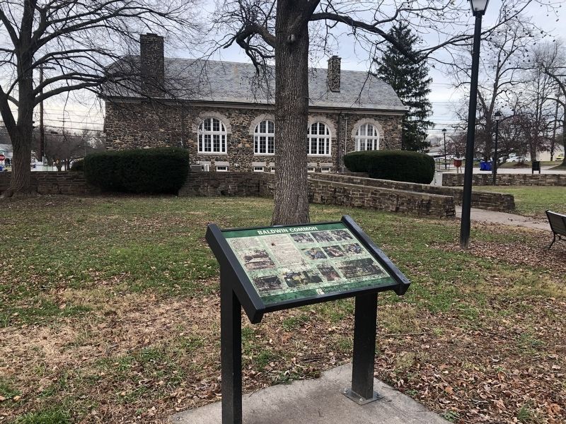
Location. 39° 8.234′ N, 76° 49.51′ W. Marker is in Savage, Maryland, in Howard County. Marker is on Foundry Street south of Baltimore Street. Touch for map. Marker is at or near this postal address: 8515 Foundry Street, Savage MD 20763, United States of America. Touch for directions.
Other nearby markers. At least 8 other markers are within one mile of this marker, measured as the crow flies. Carroll Baldwin Memorial Hall (a few steps from this marker); 9051-9053 Baltimore Street (about 300 feet away, measured in a direct line); Millworkers House (about 500 feet away); Historic Savage Mill (about 800 feet away); Bollman Iron Truss Bridge (approx. 0.2 miles away); Savage Mill (approx. 0.2 miles away); This Survey Point (approx. ¼ mile away); Maryland Purple Heart Trail (approx. 1.1 miles away). Touch for a list and map of all markers in Savage.
Credits. This page was last revised on March 19, 2019. It was originally submitted on January 1, 2019, by Devry Becker Jones of Washington, District of Columbia. This page has been viewed 362 times since then and 43 times this year. Photos: 1, 2. submitted on January 1, 2019, by Devry Becker Jones of Washington, District of Columbia. • Andrew Ruppenstein was the editor who published this page.

