Gonzales in Gonzales County, Texas — The American South (West South Central)
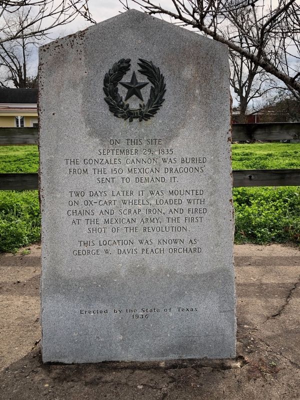
Gonzales Cannon Burial Site
September 29, 1835
the Gonzales cannon was buried
from the 150 Mexican Dragoons
sent to demand it.
Two days later it was mounted
on ox-cart wheels, loaded with
chains and scrap iron, and fired
at the Mexican Army, the first
shot of the Revolution.
This location was known as
George W. Davis Peach Orchard.
Erected 1936 by the State of Texas. (Marker Number 2215.)
Topics and series. This historical marker is listed in this topic list: War, Texas Independence. In addition, it is included in the Texas 1936 Centennial Markers and Monuments series list. A significant historical date for this entry is September 29, 1835.
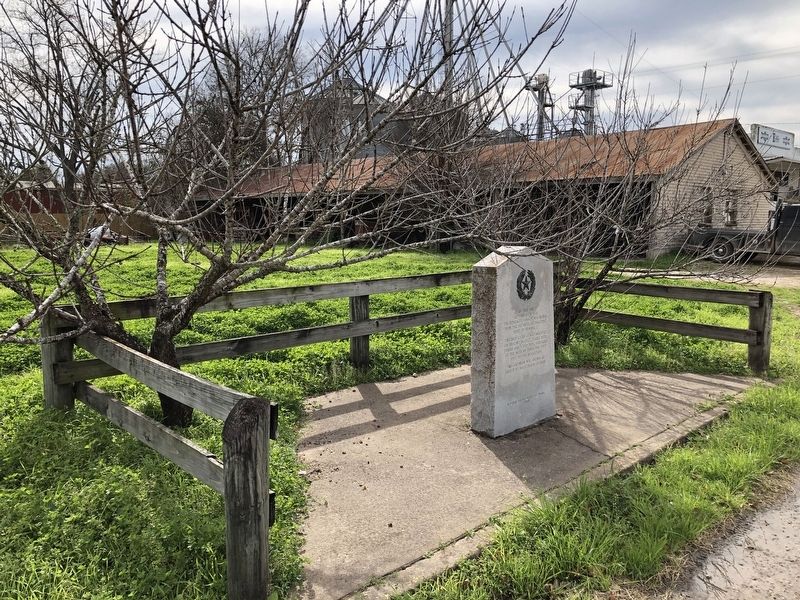
Location. 29° 29.99′ N, 97° 27.226′ W. Marker is in Gonzales, Texas, in Gonzales County. Marker is at the intersection of St. Louis Street (State Highway 146 Spur) and St. James Street, on the right when traveling east on St. Louis Street. Touch for map. Marker is in this post office area: Gonzales TX 78629, United States of America. Touch for directions.
Other nearby markers. At least 8 other markers are within walking distance of this marker. Plaza (about 300 feet away, measured in a direct line); Site of Indian Fort (about 400 feet away); Andrew Ponton (about 400 feet away); 1834 Homesite of Capt. and Mrs. Almaron Dickinson (about 400 feet away); James W. Robinson (about 600 feet away); Military Plaza (about 600 feet away); The Presbyterian Church (about 600 feet away); Gonzales Courthouse (about 600 feet away). Touch for a list and map of all markers in Gonzales.
Also see . . . Gonzales Come and Take It Cannon - The Handbook of Texas Online. Texas State Historical Association (TSHA) (Submitted on January 3, 2019, by Brian Anderson of Humble, Texas.)
Credits. This page was last revised on January 3, 2019. It was originally submitted on January 3, 2019, by Brian Anderson of Humble, Texas. This page has been viewed 551 times since then and 62 times this year. Photos: 1, 2. submitted on January 3, 2019, by Brian Anderson of Humble, Texas.

