Gonzales in Gonzales County, Texas — The American South (West South Central)
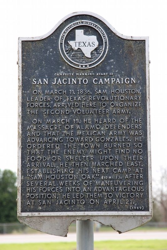
Campsite Marking Start of San Jacinto Campaign
Inscription.
On March 11, 1836, Sam Houston, leader of Texas Revolutionary Forces, arrived here to organize the second volunteer army.
On March 13, he heard of the massacre of Alamo defenders and that the Mexican army was advancing toward Gonzales. He ordered the town burned so that the enemy might find no food or shelter upon their arrival. He then marched east, establishing his next camp at "Sam Houston Oak" (10 mi. E.). After several weeks of maneuvering his forces into an advantageous position, he led them to victory at San Jacinto on April 21.
Erected 1969 by State Historical Survey Committee. (Marker Number 690.)
Topics. This historical marker is listed in this topic list: War, Texas Independence. A significant historical date for this entry is March 11, 1836.
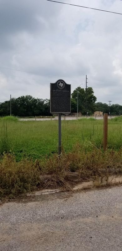
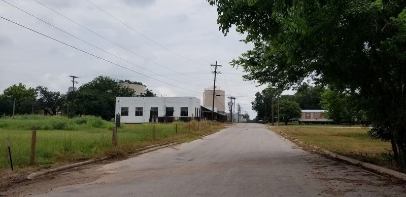
Location. 29° 29.825′ N, 97° 27.215′ W. Marker is in Gonzales, Texas, in Gonzales County. Marker is at the intersection of St. John Street and Water Street (U.S. 183), on the right when traveling south on St. John Street. Touch for map. Marker is in this post office area: Gonzales TX 78629, United States of America. Touch for directions.
Other nearby markers. At least 8 other markers are within walking distance of this marker. 1834 Homesite of Capt. and Mrs. Almaron Dickinson (about 700 feet away, measured in a direct line); Site of Indian Fort (approx. 0.2 miles away); Gonzales Cannon Burial Site (approx. 0.2 miles away); Plaza (approx. ¼ mile away); Military Plaza (approx. ¼ mile away); The Presbyterian Church (approx. ¼ mile away); Andrew Ponton (approx. ¼ mile away); James W. Robinson (approx. 0.3 miles away). Touch for a list and map of all markers in Gonzales.
Also see . . . Runaway Scrape - The Handbook of Texas Online. Texas State Historical Association (TSHA) (Submitted on January 4, 2019, by Brian Anderson of Humble, Texas.)
Credits. This page was last revised on August 5, 2021. It was originally submitted on January 3, 2019, by Brian Anderson of Humble, Texas. This page has been viewed 417 times since then and 29 times this year. Photos: 1. submitted on January 4, 2019, by Brian Anderson of Humble, Texas. 2, 3. submitted on August 4, 2021, by James Hulse of Medina, Texas.


