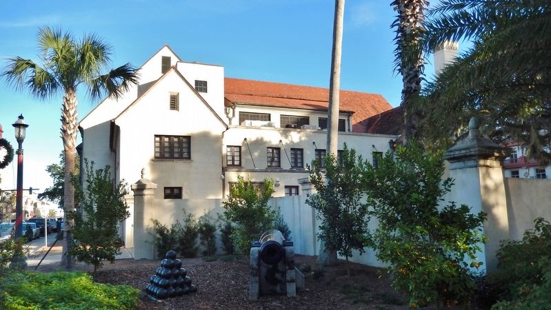
Historic District in St. Augustine in St. Johns County, Florida — The American South (South Atlantic)
Government House: Changing of the Guard
Casa Gubernmental: Cambio de la Guardia
(marker background image)
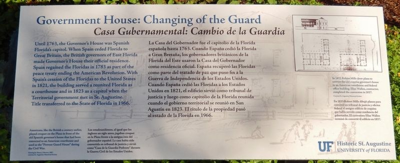
Americans, like the British a century earlier, played croquet on the Plaza in front of the old Spanish governor's house that had been converted to an American courthouse and used as the “Provost Guard House” during the Civil War.
Drawing by Henry Morton, 1867, courtesy St. Augustine Historical Society
Los estadounidenses, al igual que los ingleses un siglo antes, jugaban croquet en la Plaza frente a la antigua casa del gobernador español. La casa había sido convertida en tribunal de justicia y sirvió como “Casa de la Guardia Preboste” durante la Guerra Civil de los Estados Unidos.
Erected by University of Florida Historic St. Augustine, Inc.
Topics. This historical marker is listed in this topic list: Colonial Era.
Location. 29° 53.542′ N, 81° 18.813′ W. Marker is in St. Augustine, Florida, in St. Johns County. It is in the Historic District. Marker is on King Street (Business U.S. 1) east of Cordova Street, on the left when traveling east. Marker
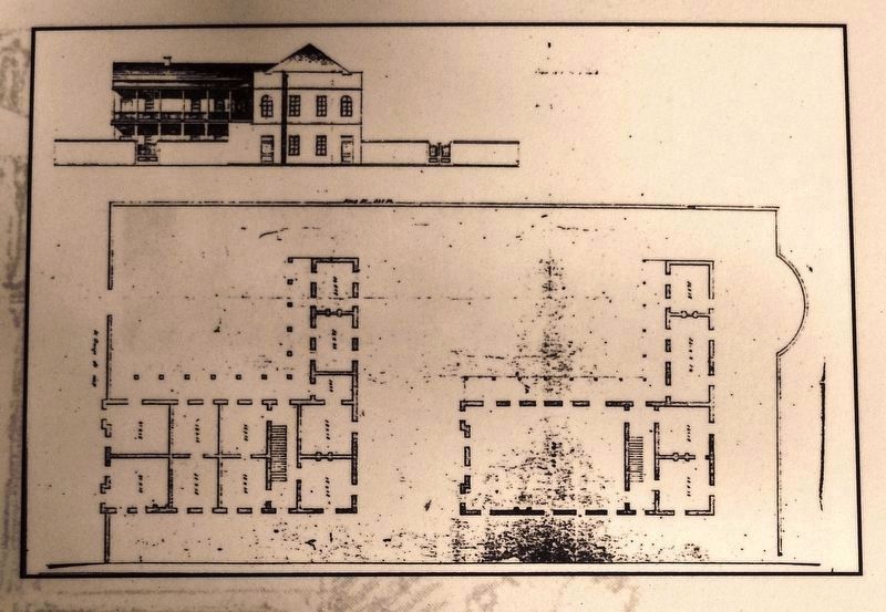
Courtesy St. Augustine Historical Society
2. Marker detail: 1833 Robert Mills plan
In 1833 Robert Mills drew plans to convert the old coquina governor's house to an American courthouse and federal office building. Elias Wallen, contractor, completed the conversion in 1837.
En 1833 Robert Mills dibujó planos para convertir en tribunal de justicia y oficina federal el antiguo edificio de coquina que había servido como residencia del gobernador. El contratista Elías Wallen terminó de convertir el edificio en 1837.
En 1833 Robert Mills dibujó planos para convertir en tribunal de justicia y oficina federal el antiguo edificio de coquina que había servido como residencia del gobernador. El contratista Elías Wallen terminó de convertir el edificio en 1837.
Other nearby markers. At least 8 other markers are within walking distance of this marker. Tolomato Street (within shouting distance of this marker); Rosario Redoubt (within shouting distance of this marker); Government House: National Significance (within shouting distance of this marker); Government House and the Plaza (within shouting distance of this marker); Balcón de los Reyes (within shouting distance of this marker); Coquina in These Walls (within shouting distance of this marker); Alcazar Hotel / City Hall (within shouting distance of this marker); Government House: Legacy of Authority (about 300 feet away, measured in a direct line). Touch for a list and map of all markers in St. Augustine.
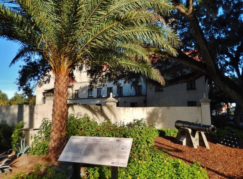
More about this marker. Marker is a large rectangular composite plaque, mounted horizontally on waist-high metal posts.
Related markers. Click here for a list of markers that are related to this marker. Government House, St. Augustine, Florida
Also see . . . Government House. Since 1598, a government building has stood on this site with a view of the harbor landing, accommodating
administrative headquarters and residences of colonial governors appointed by the Crowns of Spain, then Britain, then Spain again.
After Spain ceded Florida to the United States in 1821, this current Government House served as a courthouse and briefly as a Capitol of the new Territory of Florida. In 1836, the building's crenellated five-story tower and "a Grand portico decorated with dorick Pillars and Entablature" were removed by Robert Mills, famed architect of the Washington Monument. (Submitted on December 17, 2018, by Cosmos Mariner of Cape Canaveral, Florida.)
Credits. This page was last revised on January 3, 2019. It was originally submitted on December 16, 2018, by Cosmos Mariner of Cape Canaveral, Florida. This page has been viewed 229 times since then and 11 times this year. Last updated on January 3, 2019, by Byron Hooks of Sandy Springs, Georgia. Photos: 1. submitted on December 16, 2018, by Cosmos Mariner of Cape Canaveral, Florida. 2, 3, 4, 5, 6. submitted on December 17, 2018, by Cosmos Mariner of Cape Canaveral, Florida. • Andrew Ruppenstein was the editor who published this page.
