Les premices / In the beginning
Du naufrage au balisage
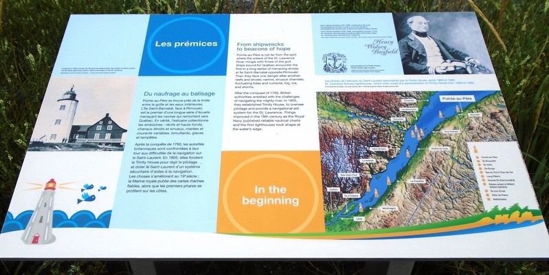
Pointe-au-Père se trouve près de la limite entre le golfe et les eaux intérieures. L'île Saint-Barnabé, face à Rimouski, est le premier d'une longue série d'écueils menaçant les navires qui remontent vers Québec. En vérité, l'estuaire collectionne les embûches : récifs et hauts-fonds, chenaux étroits et sinueux, marées et courants variables, brouillards, glaces et tempêtes.
Après la conquête de 1760, les autorités britanniques sont confrontées à leur tour aux difficultés de la navigation sur le Saint-Laurent. En 1805, elles fondent la Trinity House pour régir le pilotage et doter le Saint-Laurent d'un système sécuritaire d'aides à la navigation. Les choses s'améliorent au 19e siècle : la Marine royale publie des cartes marines fiables, alors que les premiers phares se profilent sur les côtes.
[Illustrations, en haut à gauche, dans le sens des aiguilles d'une montre, lisez]
• Construit en 1809, le phare de l'île Verte se révèle le plus vieux phare du Saint-Laurent.
• Henry Wolsey Bayfield (1795-1885), surintendant des levés hydrographiques du Saint-Laurent, a
mis des années à cartographier les Grands Lacs, le fleuve et le golfe du Saint-Laurent.
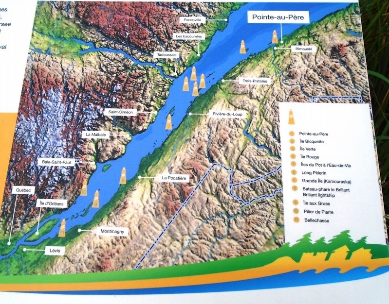
• [Carte de] Les phares de l'estuaire du Saint-Laurent administrés par la Trinity House, entre 1809 et 1862.
Pointe-au-Père is not far from the spot where the waters of the St. Lawrence River mingle with those of the gulf. Ships bound from Québec encounter the first in a long series of menacing shoals at île Saint-Barnabé opposite Rimouski. Then they face one danger after another: reefs and shoals; narrow, sinuous channels; fluctuating tides and currents; fog, ice, and storms.
After the conquest of 1760, British authorities wrestled with the challenges of navigating the mighty river. In 1805, they established Trinity House, to oversee pilotage and provide a navigational aid system for the St. Lawrence. Things improved in the 19th century as the Royal Navy published reliable nautical charts and the first lighthouses took shape at the water's edge.
[Illustrations, clockwise from top left, read]
• The Île-Verte Lighthouse, built in 1809, is the oldest on the St. Lawrence.
• Henry Wolsey Bayfield (1795-1885), hydrographic surveyor of the St. Lawrence, devoted years to making
• [Map of] St. Lawrence Estuary lighthouses, which were under the administration of Trinity House from 1809 to 1862.
Erected by Parks/Parcs Canada.
Topics. This historical marker is listed in these topic lists: Communications • Environment • Waterways & Vessels. A significant historical year for this entry is 1760.
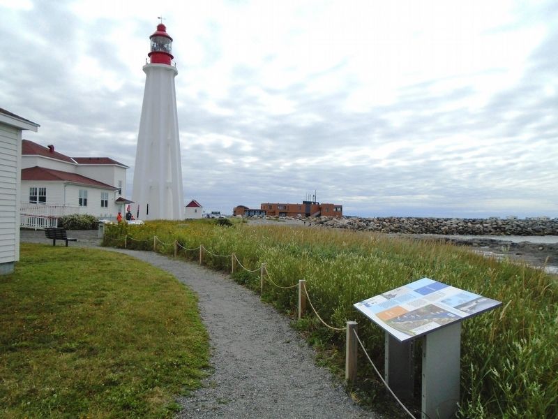
Location. 48° 31.077′ N, 68° 28.101′ W. Marker is in Rimouski, Québec, in Rimouski-Neigette. Marker is on the Pointe-au-Père Lighthouse station grounds, behind (north of) the Garage. Touch for map. Marker is at or near this postal address: 1000 rue du Phare, Rimouski QC G5M 1L8, Canada. Touch for directions.
Other nearby markers. At least 8 other markers are within walking distance of this marker. Les signaux sonores / The sound signals (a few steps from this marker); Témoins de l'automatisation de la station de phare (a few steps from this marker); Les premiers phares / The first lighthouses (within shouting distance of this marker); Modernisation / Modernizing (within shouting distance of this marker); L'épave du/The Wreck of RMS Empress of Ireland (within shouting distance of this marker); Innovation (within shouting distance of this marker); Bienvenue / Welcome (within shouting
Also see . . .
1. Seafloor and Shallow Subsurface of the St. Lawrence River Estuary (2011). (Submitted on January 8, 2019, by William Fischer, Jr. of Scranton, Pennsylvania.)
2. Lieu historique national du Canada du Phare-de-Pointe-au-Père. (Submitted on January 8, 2019, by William Fischer, Jr. of Scranton, Pennsylvania.)
3. Navigation on the St. Lawrence Echo of the Past, Path to the Future (2017). (Submitted on January 8, 2019, by William Fischer, Jr. of Scranton, Pennsylvania.)
Credits. This page was last revised on January 20, 2020. It was originally submitted on January 8, 2019, by William Fischer, Jr. of Scranton, Pennsylvania. This page has been viewed 126 times since then and 17 times this year. Photos: 1, 2, 3. submitted on January 8, 2019, by William Fischer, Jr. of Scranton, Pennsylvania.


