Maidstone in Kent, England, United Kingdom — Northwestern Europe (the British Isles)
Main Castle Island
Main Castle Island
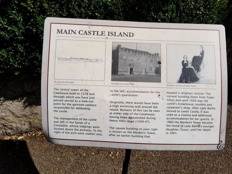
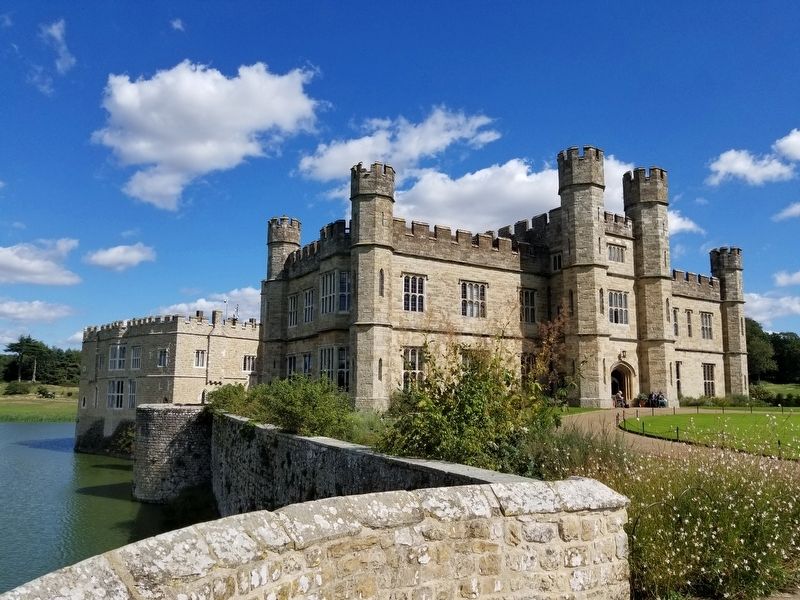
The central tower of the Gatehouse built in 1278 and through which you have just passed served as a look-out point for the garrison soldiers responsible for defending the castle.
The management of the castle was left in the hands of a Constable, whose lodgings were located above the archway. To the right of the arch were stables and, to the left, accommodation for the castle's guardsmen.
Originally, there would have been a high enclosing wall around the island. Remains of this can be seen at either side of the Gatehouse, having been demolished during Henry VIII's reign (1509-47).
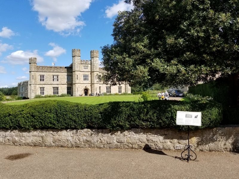
The square building to your right is known as the Maiden's Tower, after an earlier building that housed a religious recluse. The current building dates from Tudor times and until 1926 was the castle's brewhouse, laundry and carpenter's shop. After Lady Baillie moved to Leeds Castle, it was used as a cinema and additional accommodation for her guests. In 1960 the Maiden's Tower became the home of Lady Baillie's younger daughter, Susan, until her death in 2001.
( photo captions )
- The Castle in the 13th Century
- The Maiden’s Tower in about 1930
- Two sketches of Susan, Lady Baillie's daughter
Topics. This historical marker is listed in this topic list: Forts and Castles . A significant historical year for this entry is 1278.
Location. 51° 14.906′ N, 0° 37.764′ E. Marker is in Maidstone, England, in Kent. Marker can be reached from the intersection of Ashford Road and England Route B2163, on the right when traveling east. Located on the estate of Leeds Castle. Touch for map. Marker is in this post office area: Maidstone, England ME17 1PL, United Kingdom. Touch for directions.
Other nearby markers. At least 8 other markers are within 18 kilometers of this marker, measured as the crow flies. Leeds Castle (within shouting distance of this marker); a different marker also named Leeds Castle (about 120 meters away, measured in a direct line); Leeds Castle Alterations (about 120 meters away); Aragon the Dragon (approx. 0.6 kilometers away); City of Rochester Upon Medway (approx. 17 kilometers away); Royal Marines Barracks (approx. 17.2 kilometers away); Coat of Arms of George III (approx. 17.5 kilometers away); The Royal Dockyard Anchor (approx. 17.6 kilometers away). Touch for a list and map of all markers in Maidstone.
Also see . . . Leeds Castle. (Submitted on January 10, 2019, by Michael Herrick of Southbury, Connecticut.)
Credits. This page was last revised on January 27, 2022. It was originally submitted on January 10, 2019, by Michael Herrick of Southbury, Connecticut. This page has been viewed 106 times since then and 6 times this year. Photos: 1, 2, 3. submitted on January 10, 2019, by Michael Herrick of Southbury, Connecticut.


