Battle in East Sussex, England, United Kingdom — Northwestern Europe (the British Isles)
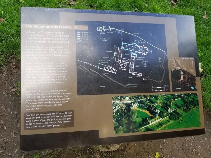
The Abbey and its History
— Battle of Hastings, 1066 —
It was carefully laid out on this hillside with the church on the ridge. The high altar marked the spot where King Harold had been killed. Completed in 1094, it housed up to 140 Benedictine monks.
In the 13th century, the abbey's growing wealth allowed the monks to replace most of the early buildings with those we see today. Many of these, including the church, were demolished after the Dissolution in 1538, when the abbey became a country estate. Its great park, including the southern part of the battlefield, mostly remained as parkland.
After years of gentle decline the duke and duchess of Cleveland, who lived here between 1857 and 1901 modernised the house. They built a new library and restored the grounds. The mature trees and the lily pond outside the walled garden to your right date from that time.
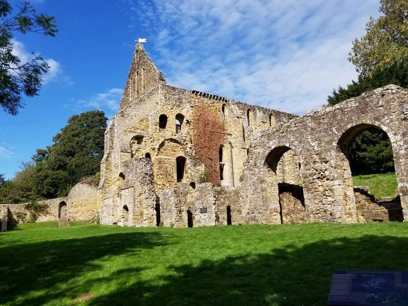
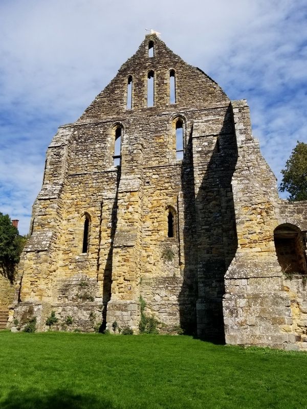
From here you can explore the abbey by different routes. The path to the left leads into the dormitory range in front of you. The path to the right goes up the hill between the remains of the monastic latrines and the later walled garden.
Topics. This historical marker is listed in these topic lists: Churches & Religion • Notable Events.
Location. 50° 54.814′ N, 0° 29.282′ E. Marker is in Battle, England, in East Sussex. Marker can be reached from the intersection of High Street and Park Lane, on the right when traveling south. Located along the battlefield path at the Battle of Hastings Battlefield. Touch for map. Marker is in this post office area: Battle, England TN33 0AD, United Kingdom. Touch for directions.
Other nearby markers. At least 8 other markers are within walking distance of this marker. Battlefield to Vegetable Garden (a few steps from this marker); Reredorter (a few steps from this marker); East Range of Cloister (within shouting distance of this marker); Dairy and Icehouse (within shouting distance of this marker); The East Range (within shouting distance of this marker); Beehives in the Walled Garden (within shouting distance of this marker); The Dormitory (within shouting distance of this marker); Parlour (within shouting distance of this marker). Touch for a list and map of all markers in Battle.
Also see . . . English Heritage - 1066 Battle of Hastings, Abbey and Battlefield. (Submitted on January 17, 2019, by Michael Herrick of Southbury, Connecticut.)
Credits. This page was last revised on January 27, 2022. It was originally submitted on January 17, 2019, by Michael Herrick of Southbury, Connecticut. This page has been viewed 106 times since then and 10 times this year. Photos: 1, 2, 3. submitted on January 17, 2019, by Michael Herrick of Southbury, Connecticut.


