Richmond in Madison County, Kentucky — The American South (East South Central)
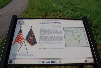
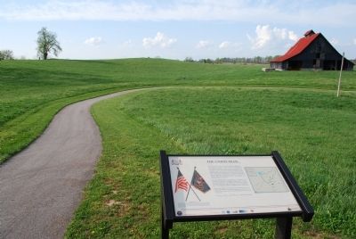
The Union Trail
The Spur Trail overlooks Churchill's Draw. Confederate Gen. Thomas J. Churchill led a brigade through the draw, emerging near the Union line and taking Federals by surprise. Churchill's maneuver turned the battle in the Confederates' favor. The Union line fell back, ending this phase of the battle.
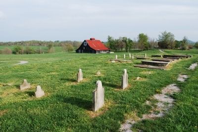
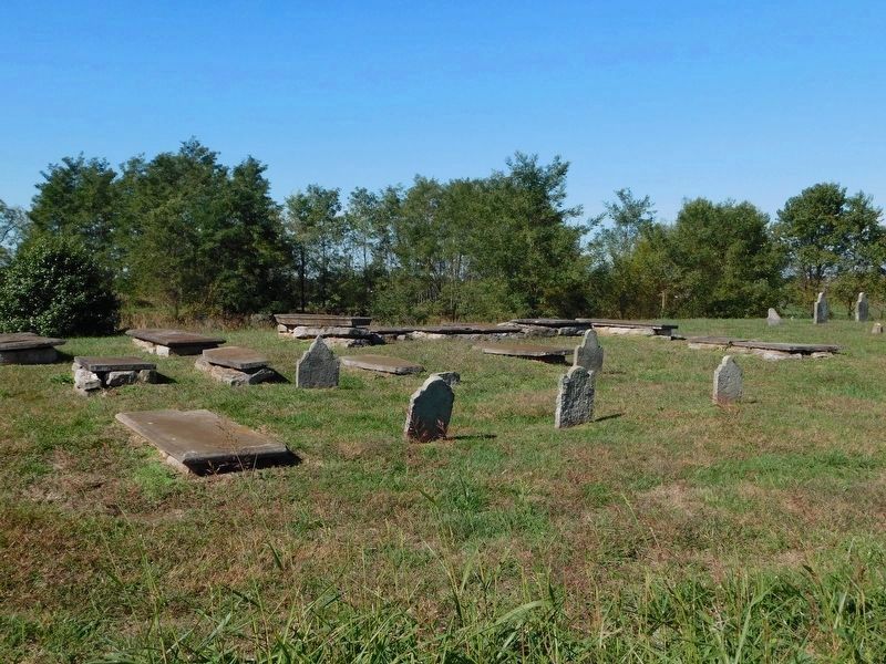
There is some shade but the open ground and hills make this a moderately difficult walk. Benches along the trail allow you to rest. Be sure to pause at the two family cemeteries along the top of the ridge.
Enjoy your stay at The Battle of Richmond Park
Topics. This historical marker is listed in this topic list: War, US Civil.
Location. 37° 39.894′ N, 84° 15.082′ W. Marker is in Richmond, Kentucky, in Madison County. Marker can be reached from the intersection of Battlefield Memorial Highway and Hayes Fork Lane, on the left when traveling north. Touch for map. Marker is at or near this postal address: 101 Battlefield Memorial Highway, Richmond KY 40475, United States of America. Touch for directions.
Other nearby markers. At least 8 other markers are within walking distance of this marker. "Good, Common-Sense Soldiering" (within shouting distance of this marker); Sharpshooters Check The Union Right (about 300 feet away, measured in a direct line); Battle of Richmond (about 300 feet away); a different marker also named The Battle of Richmond (about 300 feet away); Slavery at Pleasant View Farm (about 300 feet away); In Honor and Remembrance (about 300 feet away); Saving the Richmond Battlefield (about 400 feet away); "The Loud Mouthed Dogs of War Were Unleashed" (about 400 feet away). Touch for a list and map of all markers in Richmond.
Credits. This page was last revised on February 21, 2021. It was originally submitted on July 24, 2015, by Brandon Fletcher of Chattanooga, Tennessee. This page has been viewed 393 times since then and 20 times this year. Last updated on January 17, 2019, by Bradley Owen of Morgantown, West Virginia. Photos: 1, 2, 3. submitted on July 24, 2015, by Brandon Fletcher of Chattanooga, Tennessee. 4. submitted on February 21, 2021, by Bradley Owen of Morgantown, West Virginia. • Andrew Ruppenstein was the editor who published this page.


