Ortona in Glades County, Florida — The American South (South Atlantic)
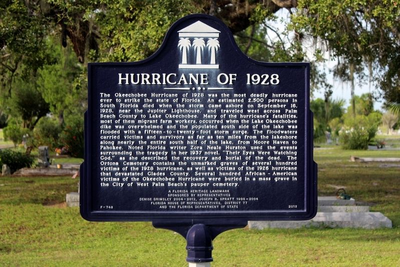
Hurricane of 1928
Erected 2012 by Representatives Denise Grimsley (2004-2012) & Joseph R. Spratt (1996-2004), Florida House of Representatives District 77, and the Florida Department of State. (Marker Number F-748.)
Topics. This historical marker is listed in these topic lists: Cemeteries & Burial Sites • Disasters. A significant historical date for this entry is September 16, 1928.
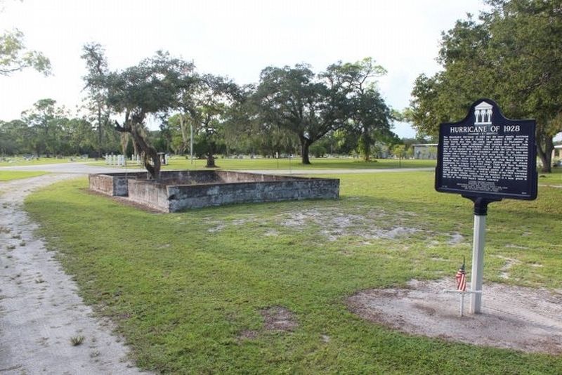
Location. 26° 48.97′ N, 81° 18.088′ W. Marker is in Ortona, Florida, in Glades County. Marker is on Ortona Road (State Road 78) 0.1 miles east of Chiaha Lane, on the right when traveling west. Marker is located in the cemetery. Touch for map. Marker is in this post office area: Moore Haven FL 33471, United States of America. Touch for directions.
Other nearby markers. At least 8 other markers are within 10 miles of this marker, measured as the crow flies. In Honor and Memory of the Veterans of All Wars (within shouting distance of this marker); Fort Thompson (approx. 7.6 miles away); Downtown LaBelle Historic District (approx. 9 miles away); Experimental Rotary Steam Engine (approx. 9.1 miles away); "Old Betsy" (approx. 9.1 miles away); Honor The Dead By Serving The Living (approx. 9.2 miles away); Nicholas J Cutinha (approx. 9.2 miles away); Dedicated to our Veterans (approx. 9.2 miles away).
Also see . . . Wikipedia entry. Excerpt:
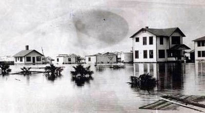
Inland, the hurricane wreaked much more widespread destruction along the more heavily populated coast of Lake Okeechobee. Residents had been warned to evacuate the low ground earlier in the day, but after the hurricane did not arrive on schedule, many thought it had missed and returned to their homes. In the weeks prior to the storm, heavy rainfall had caused the lake to rise 3 ft between August 10 and September 10 and filled nearby canals and ditches. Precipitation from the hurricane itself caused Lake Okeechobee to rise further. When the worst of the storm crossed the lake, the south-blowing wind caused a storm surge to overflow the small dike that had been built at the south end of the lake. The resulting flood covered an area of hundreds of square miles with water that in some places was more than 20 ft deep. Houses were floated off their foundations and dashed to pieces against any obstacles encountered. Most survivors and bodies were washed out into the Everglades, where many of the bodies were never found. Agricultural losses in the area surrounding Lake Okeechobee were also significant, with virtually all crops destroyed and over 150 tractors suffering damage.(Submitted on September 7, 2019.)
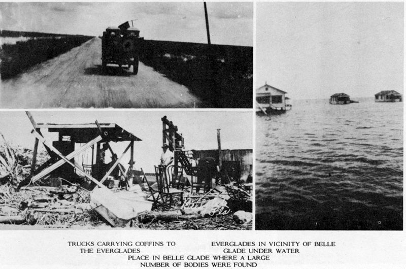
As the rear eyewall passed over the area, the flood reversed itself, breaking the dikes along the northern coast of the lake and causing similar but smaller flooding. Route 98, then known as Conner’s Highway, was closed until January, when the bridge across the Onosohatchee River at Taylor Creek was replaced after the original bridge was carried about 150 ft (46 m) upstream during the storm. In Okeechobee County, homesalong the lake were destroyed by the storm surge, while dwellings within the city of Okeechobee were severely damaged or demolished by winds of at least 90 mph. However, brick and concrete dwellings suffered little damage. A number of three-story business buildings collapsed during the storm. Almost all roads were left impassable, while communications were nearly wiped out. Overall, 27 deaths occurred in Okeechobee County. Along the southwestern shore of Lake Okeechobee, the towns of Clewiston and Moore Haven were both flooded, but most houses suffered more damage due to strong winds.U.S. Government Photographs via Wikipedia Commons3. Aftermath of the 1928 Okeechobee Hurricane in Belle Glade and the Everglades in FloridaClockwise from upper left: “Trucks carrying coffins to the Everglades.” “Everglades in vicinity of Belle Glade under water.” “Place in Belle Glade where a large number of bodies were found.”
Credits. This page was last revised on September 7, 2019. It was originally submitted on January 18, 2019, by Tim Fillmon of Webster, Florida. This page has been viewed 894 times since then and 67 times this year. It was the Marker of the Week September 15, 2019. Photos: 1, 2. submitted on January 18, 2019, by Tim Fillmon of Webster, Florida. 3, 4. submitted on September 7, 2019, by J. J. Prats of Powell, Ohio. • Andrew Ruppenstein was the editor who published this page.


