Santa Monica in Los Angeles County, California — The American West (Pacific Coastal)
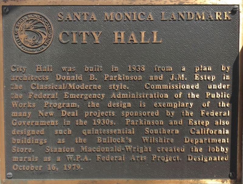
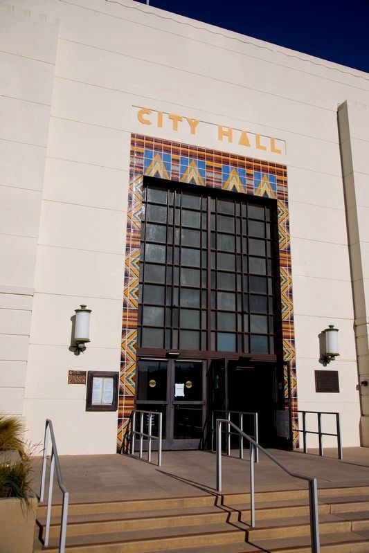
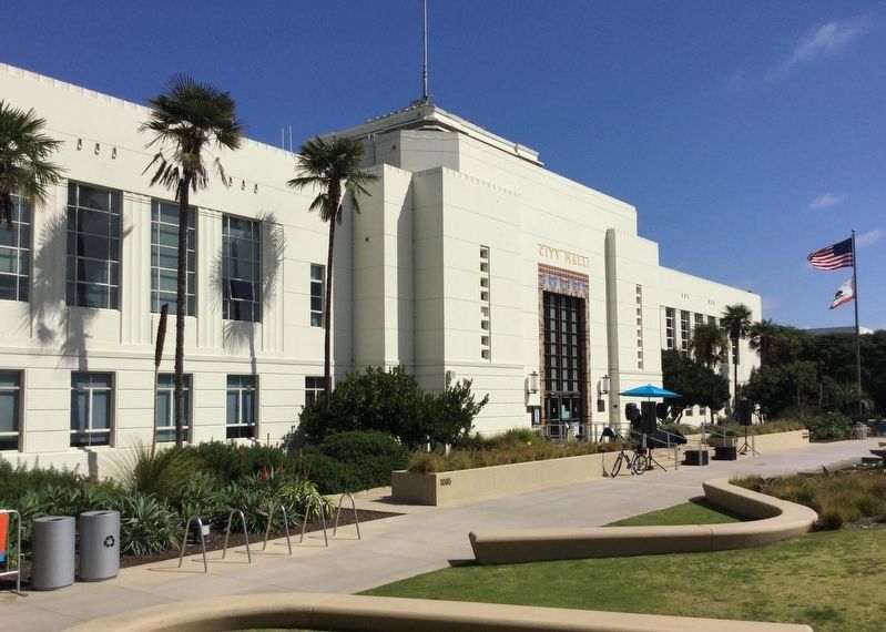
City Hall
— Santa Monica Landmark —
Erected 1979.
Topics and series. This historical marker is listed in these topic lists: Architecture • Notable Buildings. In addition, it is included in the Works Progress Administration (WPA) projects series list. A significant historical year for this entry is 1938.
Location. 34° 0.705′ N, 118° 29.5′ W. Marker is in Santa Monica, California, in Los Angeles County. Marker is at the intersection of Main Street and Interstate 10, on the left when traveling south on Main Street. Touch for map. Marker is at or near this postal address: 1685 Main St, Santa Monica CA 90401, United States of America. Touch for directions.
Other nearby markers. At least 8 other markers are within walking distance of this marker. World’s First Flying Automobile (approx. 0.2 miles away); The Santa Monica Pier Carousel (approx. 0.3 miles away); Santa Monica Pier (approx. 0.3 miles away); Rapp’s Saloon (approx. 0.3 miles away); Mayfair Theater (approx. 0.4 miles away); Playland Arcade (approx. 0.4 miles away); Sinbad's & Moby's Dock (approx. 0.4 miles away); Muscle Beach (approx. 0.4 miles away). Touch for a list and map of all markers in Santa Monica.
Related marker. Click here for another marker that is related to this marker. — Bullock’s Wilshire.
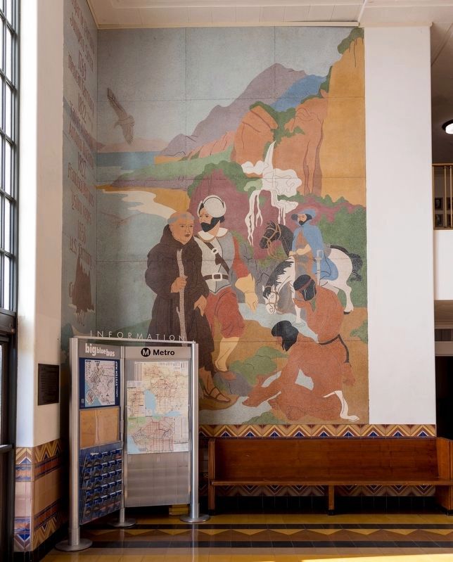
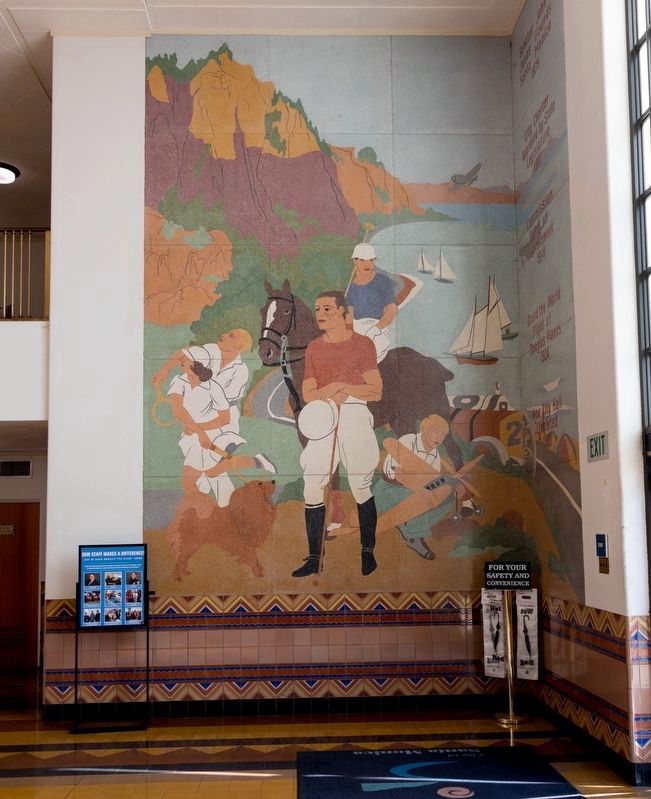
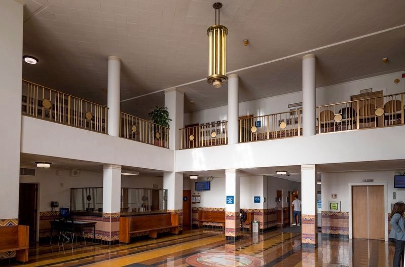
Also see . . . A Guide to Historic Santa Monica City Hall. Published by the Santa Monica Public Library, this illustrated PDF file is 12 pages long. “The murals on the north and south walls of the foyer were painted by the renowned American artist Stanton Macdonald-Wright, who spent much of his life in Santa Monica. Using a method he pioneered and called ‘Petrachrome,’ Macdonald-Wright painted the murals with a liquid mixture of materials including crushed tile, marble and granite, then let the work dry before polishing it. This
technique soon became popular with local muralists and was nationally recognized as an important contribution to the evolution of the medium.” (Submitted on March 9, 2019.)
Photographed By J. J. Prats, November 30, 2018
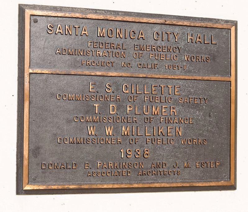
3. City Hall Builder’s Plaque
“Santa Monica City Hall, Federal Emergency Administration of Public Works project No. Calif. 1951-F. E. S. Gillette, Commissioner of Public Safety, T.D. Plumer, Commissioner of Finance, W.W. Milliken, Commissioner of Public Works. 1938. Donald B. Parkinson and J.M. Estep, Associated Architects.”
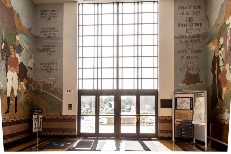
1939 mural by Stanton Macdonald-Wright, photograph by J.J. Prats, November 30, 2018
6. Santa Monica City Hall Lobby Murals
On the left: “Senator John P. Jones Founds Santa Monica 1875.” “City Charter Approved by State Legislature 1907.” “Commission Form of Government 1914.” “Round the World Flight of Douglas Planes 1924,” “New City Hall Completed 1939.”
On the right: “Gaspar de Portola, Junipero Sera, 1769; Mexican Territory, 1822; Xavier Alvarado, Antonia Machado, 1827; Francisco Marques, Ysidro Reyes, 1838; U.S. Territory, 1848; Col. R.S. Baker, 1872”
On the right: “Gaspar de Portola, Junipero Sera, 1769; Mexican Territory, 1822; Xavier Alvarado, Antonia Machado, 1827; Francisco Marques, Ysidro Reyes, 1838; U.S. Territory, 1848; Col. R.S. Baker, 1872”
Photographed By J. J. Prats, November 30, 2018
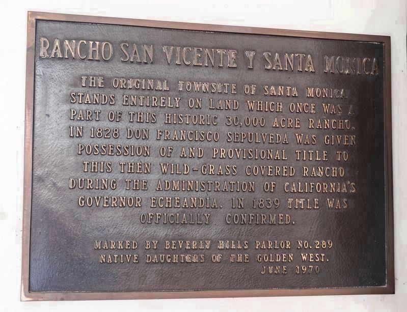
11. Rancho San Vicente y Santa Monica
Plaque inside of lobby, visible in Photo 6 to the right of the entrance: “The original townsite of Santa Monica stands entirely on land which once was a part of this historic 30,000 acre rancho. In 1828 Don Francisco Sepulveda was given possession of and provisional title to this then wild-grass covered rancho during the administration of California’s governor Echeandia. In 1839 title was officially confirmed.” “Marked by Beverly Hills Parlor No. 289, Native Daughters of the Golden West. June 1970.”
Credits. This page was last revised on January 30, 2023. It was originally submitted on January 19, 2019, by Craig Baker of Sylmar, California. This page has been viewed 274 times since then and 15 times this year. Photos: 1. submitted on January 19, 2019, by Craig Baker of Sylmar, California. 2, 3. submitted on March 6, 2019, by J. J. Prats of Powell, Ohio. 4, 5. submitted on January 19, 2019, by Craig Baker of Sylmar, California. 6, 7, 8, 9. submitted on March 6, 2019, by J. J. Prats of Powell, Ohio. 10. submitted on January 19, 2019, by Craig Baker of Sylmar, California. 11. submitted on March 6, 2019, by J. J. Prats of Powell, Ohio. • Andrew Ruppenstein was the editor who published this page.
