St. Francisville in West Feliciana Parish, Louisiana — The American South (West South Central)
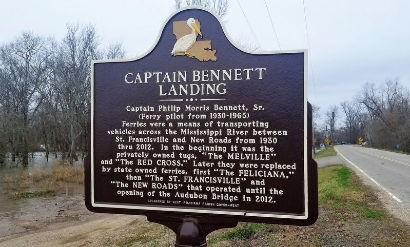
Captain Bennett Landing
Captain Philip Morris Bennett, Sr.
(Ferry pilot from 1930-1965)
Ferries were a means of transporting vehicles across the Mississippi River between St. Francisville and New Roads from 1930 thru 2012. In the beginning it was the privately owned tugs, "The MELVILLE" and "The RED CROSS.” Later they were replaced by state owned ferries, first “The FELICIANA,” then “The ST. FRANCISVILLE", and "The NEW ROADS” that operated until the opening of the Audubon Bridge in 2012.
Erected by West Feliciana Parish Government.
Topics. This historical marker is listed in this topic list: Waterways & Vessels.
Location. 30° 45.829′ N, 91° 23.726′ W. Marker is in St. Francisville, Louisiana, in West Feliciana Parish. Marker is on Ferdinand Street (Highway 1263) 0.7 miles Old Ferry Road, on the right when traveling west. Touch for map. Marker is in this post office area: Saint Francisville LA 70775, United States of America. Touch for directions.
Other nearby markers. At least 8 other markers are within walking distance of this marker. Our Caboose (approx. 0.7 miles away); Bayou Sara Depot (approx. 0.7 miles away); The Historic West Feliciana Railroad (approx. 0.7 miles away); West Feliciana Railroad (approx. 0.7 miles away); Bayou Sara (approx. 0.8 miles away); Mississippi River (approx. 0.9 miles away); The "St. Francisville Democrat" (approx. 0.9 miles away); Propinquity (approx. 0.9 miles away). Touch for a list and map of all markers in St. Francisville.
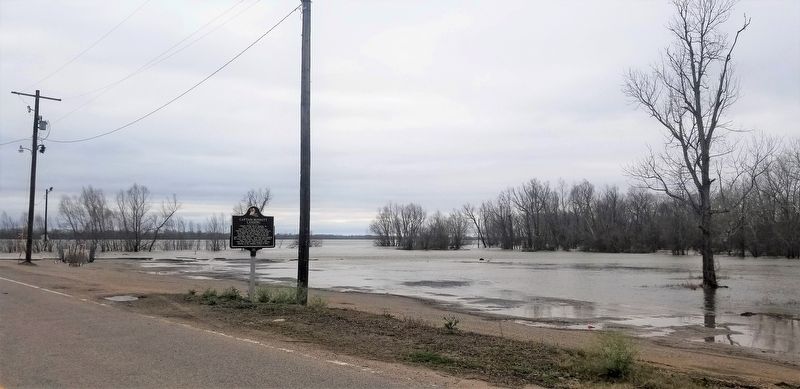
More about this marker. Located at the western terminus of Ferdinand Street (Highway 1263)
Credits. This page was last revised on July 29, 2022. It was originally submitted on January 20, 2019, by Cajun Scrambler of Assumption, Louisiana. This page has been viewed 386 times since then and 23 times this year. Photos: 1, 2. submitted on January 20, 2019.

