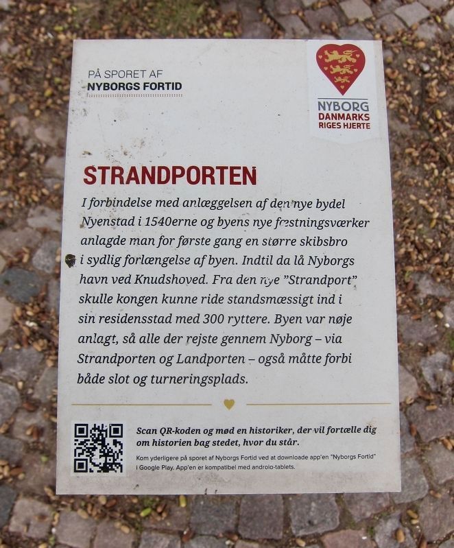
Strandporten / Strand Port
On the path of Nyborg's Past
-
In connection with the construction of the new district of
Nyenstad in the 1540s and the city's new fortifications,
for the first time, a large bridge was built
in southern extension of the city. Until then, Nyborgs harbor had been located at the
harbor at Knudshoved. From the new "Strand Port"
the king would now be able to ride readily to
his royal residence with 300 riders. The city was carefully
laid out, so that everyone who traveled through Nyborg - via
the Strand Port and the Land Port - also had to pass
both the castle and tournament (i.e., jousting) space.
Topics. This historical marker is listed in
these topic lists: Forts and Castles • Settlements & Settlers • Sports • Women.
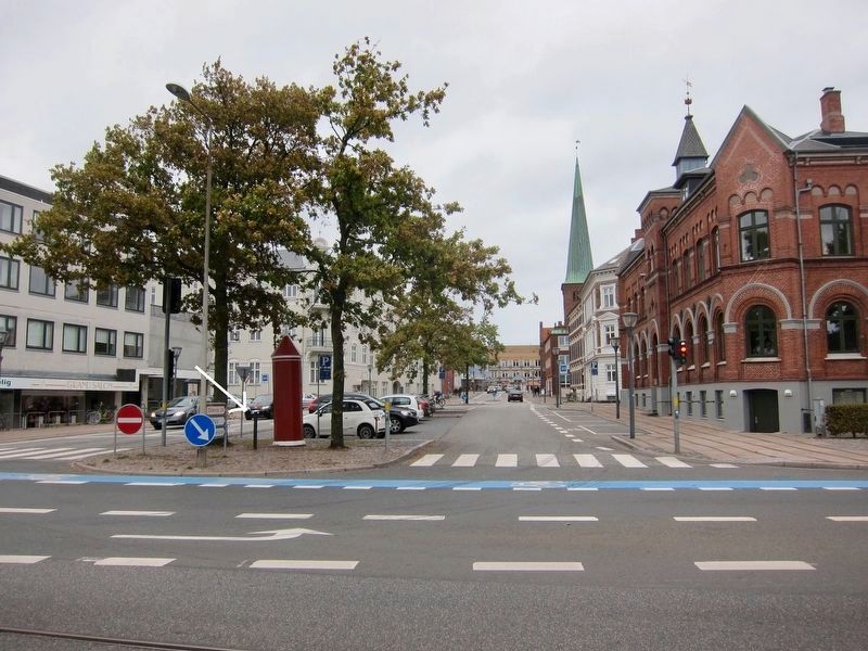
Location. 55° 18.612′ N, 10° 47.523′ E. Marker is in Nyborg, Syddanmark (Southern Denmark), in Nyborg Kommune. Marker is at the intersection of Havnegade and Adelgade, on the right when traveling west on Havnegade. Touch for map. Marker is in this post office area: Nyborg, Syddanmark 5800, Denmark. Touch for directions.
Other nearby markers. At least 2 other markers are within walking distance of this marker. Nyborg Stjerneskanse / Nyborg's Star Redoubt (approx. 1.5 kilometers away); 3rd Regiment Operation Safari World War II Memorial (approx. 1.5 kilometers away).
More about this marker. This is a small marker, mounted on a short pole by the parking spaces at the foot of Adelgade.
Also see . . . Nyborg. Wikipedia entry:
"In the first half of the 16th century, both the castle and the city were expanded.
It was a carefully planned residence where power had to be staged. The town was fortified in its entirety, a royal tournament venue, a new water supply and a zoo were built. It was in many ways Denmark's first real
Credits. This page was last revised on February 26, 2021. It was originally submitted on January 21, 2019, by Andrew Ruppenstein of Lamorinda, California. This page has been viewed 145 times since then and 14 times this year. Photos: 1, 2. submitted on January 21, 2019, by Andrew Ruppenstein of Lamorinda, California.

