Newburg in Charles County, Maryland — The American Northeast (Mid-Atlantic)
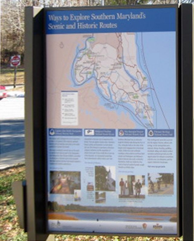
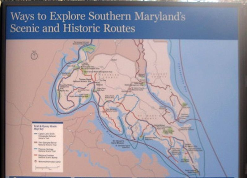
Ways to Explore Southern Marylandís Scenic and Historic Routes
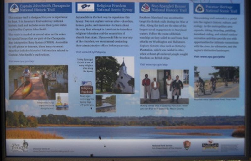
This unique trail is designed for you to experience by boat. It is Americaís first waterway national historic trail and includes more than 3,000 miles explored by Captain John Smith.
The route is marked at several sites on the water by special buoys that are part of the Chesapeake Bay Interpretive Buoy System (CBIBS). Accessible by cell phone or internet, these buoys transmit date that include historical information related to Captain John Smithís explorations.
(Images of boat dock and buoys.)
Interpretive buoys (right) are found along the trail.
Religious Freedom National Scenic Byway
Automobile is the best way to experience this byway. You can explore various sites—churches, homes, parks, and museums—to learn about the very first attempt in American to introduce religious toleration and the separation of church from state. If you would like to tour any of the churches, we recommend contacting their administrative offices before you visit.
Visit www.bit.ly/rfsbyway
Visit www.nps.gov/cajo
(Image of church)
Trinity Episcopal Church is one of many religious sites along the byway.
(Images of signs and roadside.)
Road signs containing the byway logo will guide you.
Star-Spangled Banner National Historic Trail
Southern Maryland was an attractive target for British raids during the War of 1812. Along the trail are the sites of the largest naval engagements in Maryland waters. Follow the route of British warships as they sailed to and from their attacks on Washington and Baltimore. Explore historic sites such as Sotterley Plantation, which was raided in 1814 when at least 48 enslaved people sought freedom on British ships.
Visit www.nps.gov/stsp
(Image of five people.)
History comes alive at Sotterley Plantation, which you can drive to in eastern St. Mary's County.
Potomac Heritage National Scenic Trail
This evolving trail network is a portal into the regionís history, culture, and ecology. As the metropolitan area expands, hiking, bicycling, paddling, horseback riding, and related outdoor recreation activities provide you with opportunities for intimate connections with the river, its tributaries, and the regionís distinctive landscapes.
Visit www.nps.gov/pohe
(Image of bicyclists.)
Bicyclists enjoy Lighthouse Road, Piney Point.
(Logo for the Southern Maryland Heritage Area Consortium.)
Discover more at www.DestinationSouthernMaryland.com
National Park Service
U.S. Department of the Interior
This project was funded in part by the National Park
Service
(Logos for the National Park Service and the Maryland Heritage Areas Authority.)
This project has been financed in part with state funds from the Maryland Heritages Areas Authority, an instrumentality of the State of Maryland. However, the contents and opinions do not necessarily reflect views or policies of the Maryland Heritage Areas Authority.
Erected 2018 by Southern Maryland Heritage Area Consortium, National Park Service, and the Maryland Heritage Areas Authority.
Topics and series. This historical marker is listed in these topic lists: Colonial Era • Native Americans • War of 1812 • Waterways & Vessels. In addition, it is included in the Captain John Smith Chesapeake National Historic Trail series list. A significant historical year for this entry is 1812.
Location. 38° 22.133′ N, 76° 57.633′ W. Marker is in Newburg, Maryland, in Charles County. Marker can be reached from Crain Hwy (Maryland Route 301) 0.1 miles south of Clifton Drive. Touch for map. Marker is at or near this postal address: 12480 Crain Hwy, Newburg MD 20664, United States of America. Touch for directions.
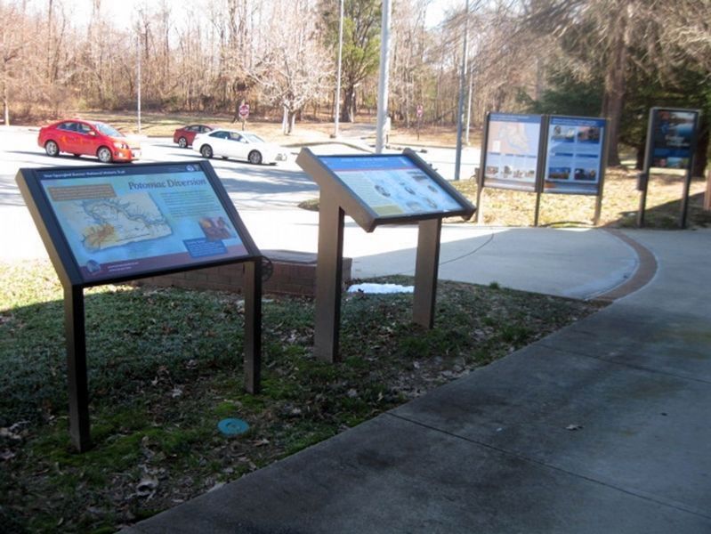
Other nearby markers. At least 8 other markers are within walking distance of this marker. Explore your Cheaspeake (here, next to this marker); Discover Southern Marylandís Amazing Stories of Exploration, Hope, and Courage (here, next to this marker); In Memory of Robert Crain
(here, next to this marker); John Wilkes Booth (within shouting distance of this marker); Potomac Diversion (within shouting distance of this marker); Cliffton (approx. 0.2 miles away); Wolleston Manor (approx. 0.6 miles away); Laidler's Ferry (approx. 0.6 miles away). Touch for a list and map of all markers in Newburg.
Also see . . .
1. Captain John Smith Chesapeake National Historic Trail, National Park Service. (Submitted on January 25, 2019.)
2. Star-Spangled Banner National Historic Trail, National Park Service. (Submitted on January 25, 2019.)
3. Religious Freedom National Scenic Byway. (Submitted on January 25, 2019.)
4. Potomac Heritage National Scenic Trail, National Park Service. (Submitted on January 25, 2019.)
5. Star-Spangled Banner Byway, Maryland Scenic Byways. (Submitted on January 25, 2019.)
Credits. This page was last revised on January 26, 2019. It was originally submitted on January 25, 2019. This page has been viewed 208 times since then and 17 times this year. Photos: 1, 2, 3, 4. submitted on January 25, 2019. • Bill Pfingsten was the editor who published this page.


