Almaden in San Jose in Santa Clara County, California — The American West (Pacific Coastal)
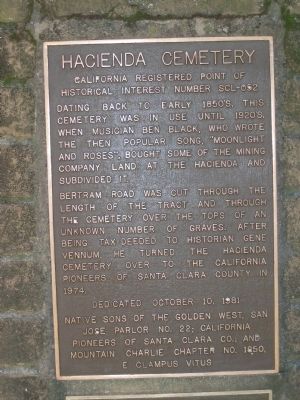
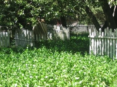
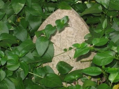
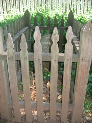
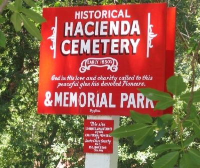
Hacienda Cemetery
Dating back to early 1850’s, this cemetery was in use until 1920’s, when musician Ben Black, who wrote the then popular song, “Moonlight and Roses”, bought some of the mining company land at the Hacienda and divided it.
Bertram Road was cut through the length of the tract and through the cemetery over the tops of an unknown number of graves. After being tax deeded to historian Gene Vennum, he turned the Hacienda Cemetery over to the California Pioneers of Santa Clara County in 1974.
Erected 1981 by Native Sons of the Golden West, San Jose Parlor No.22; California Pioneers of Santa Clara Co.; and Mountain Charlie Chapter No.1850, E. Clampus Vitus. October 10, 1981.
Topics and series. This historical marker is listed in these topic lists: Cemeteries & Burial Sites • Settlements & Settlers. In addition, it is included in the E Clampus Vitus, and the Native Sons/Daughters of the Golden West series lists. A significant historical year for this entry is 1974.
Location. 37° 10.64′ N, 121° 49.185′ W. Marker is in San Jose, California, in Santa Clara County. It is in Almaden. Marker can be reached from Bertram Way near Cinnabar Hills Road, on the right when traveling north. Marker is located at the entrance to the Hacienda Cemetery. Touch for map. Marker is at or near this postal address: 21462, San Jose CA 95120, United States of America. Touch for directions.
Other nearby markers. At least 8 other markers are within walking distance of this marker. A different marker also named Hacienda Cemetery (within shouting distance of this marker); New Almaden Quicksilver Mine (about 400 feet away, measured in a direct line); The Randol Family Home (about 400 feet away); John Young House (about 400 feet away); Huttner House (about 400 feet away); Robert Scott House (about 400 feet away); The Hauck House (about 500 feet away); Casa Grande (about 500 feet away). Touch for a list and map of all markers in San Jose.
Regarding Hacienda Cemetery. Also see: All New Almaden Mine markers for additional information.
Also see . . . Hacienda Cemetery. California Pioneers of Santa Clara County entry (Submitted on October 24, 2008.)
Credits. This page was last revised on February 7, 2023. It was originally submitted on October 24, 2008, by Syd Whittle of Mesa, Arizona. This page has been viewed 1,555 times since then and 36 times this year. Photos: 1, 2, 3, 4, 5. submitted on October 24, 2008, by Syd Whittle of Mesa, Arizona.
