Near Palatka in Putnam County, Florida — The American South (South Atlantic)
Cross Florida Barge Canal
Inscription.
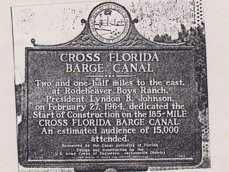
Two and a-half miles to the east, at Rodeheaver Boys Ranch, President Lyndon B. Johnson, on February 27, 1964, dedicated the Start of Construction on the 185-MILE CROSS FLORIDA BARGE CANAL. An estimated audience of 15,000 attended.
Erected 1965 by The Canal Authority of Florida, Design and Construction by the U.S. Army Corps of Engineers, Jacksonville District. Florida Board of Parks and Historic Memorials. (Marker Number F-122.)
Topics and series. This historical marker is listed in this topic list: Waterways & Vessels. In addition, it is included in the Former U.S. Presidents: #36 Lyndon B. Johnson series list. A significant historical date for this entry is February 27, 1964.
Location. Marker has been reported missing. It was located near 29° 31.655′ N, 81° 45.254′ W. Marker was near Palatka, Florida, in Putnam County. Marker was at the intersection of State Road 19 and Boys Ranch Road, on the right when traveling north on State Road 19. Touch for map. Marker was in this post office area: Palatka FL 32177, United States of America. Touch for directions.
Other nearby markers. At least 8 other markers are within 9 miles of this location, measured as the crow flies. Buckman Lock North / Buckman Lock South (approx. 2 miles away); Cross Florida Barge Canal Memorial (approx. 2.7 miles away); Battle At Horse Landing (approx. 3 miles away); Kirkpatrick Dam (approx. 3.3 miles away); Kenwood Recreation Area (approx. 7.4 miles away); The Mount Royal Site (approx. 8.4 miles away); Mount Royal (approx. 8.9 miles away); a different marker also named The Mount Royal Site (approx. 8.9 miles away). Touch for a list and map of all markers in Palatka.
More about this marker. When I was doing a historical marker inventory in Putnam County in 1991, I found the remnants of the post but no marker.
Related markers. Click here for a list of markers that are related to this marker.
Additional commentary.
1. Barge Canal Marker
The Barge Canal sign was knocked down by a careless tractor and mower operator around 1996 or 1997. It used to lay on its back in the weeds/woods just off the mowed area when I worked at Rodeheaver Boys Ranch from 1997 to 1999. I have only actually saw once in person laying on its back and cannot say when or if the sign was removed or reinstalled.
— Submitted February 17, 2024, by Steven
Councell of Jacksonville, Florida.
Credits. This page was last revised on February 21, 2024. It was originally submitted on February 4, 2019, by Tim Fillmon of Webster, Florida. This page has been viewed 242 times since then and 20 times this year. Photo 1. submitted on February 4, 2019, by Tim Fillmon of Webster, Florida. • Bernard Fisher was the editor who published this page.
