Toppenish in Yakima County, Washington — The American West (Northwest)
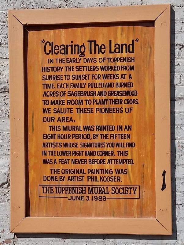
"Clearing the Land"
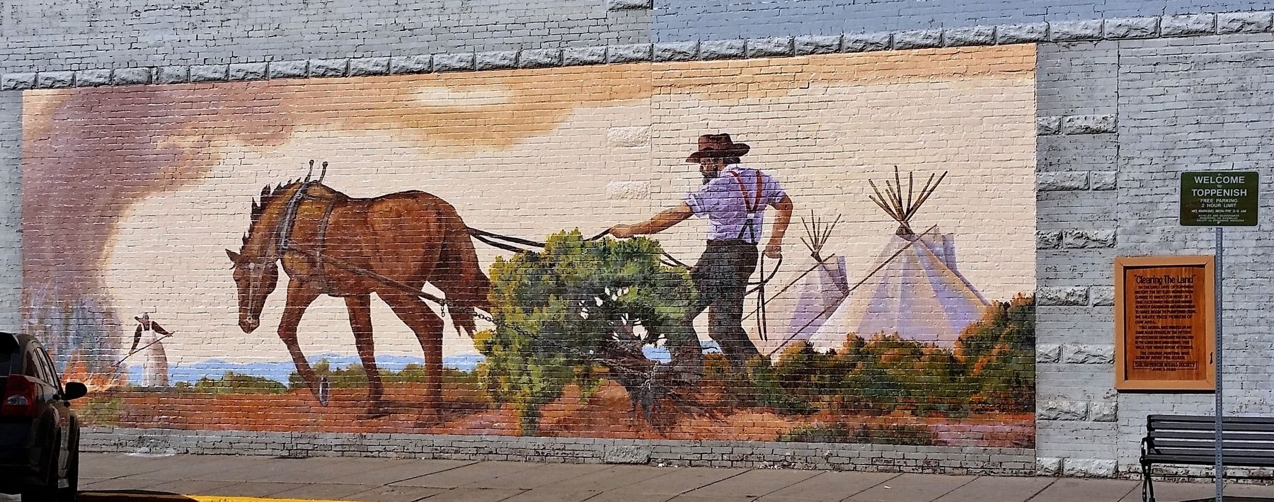
In the early days of Toppenish history the settlers worked from sunrise to sunset for weeks at a time. Each family pulled and burned acres of sagebrush and greasewood to make room to plant their crops. We salute these pioneers of our area.
This mural was painted in an eight hour period, by the fifteen artists whose signatures you will find in the lower right hand corner. This was a feat never before attempted.
The original painting was done by artist Phil Kooser.
June 3, 1989
Erected 1989 by Toppenish Mural Society. (Marker Number 1.)
Topics. This historical marker is listed in these topic lists: Agriculture • Settlements & Settlers.
Location. 46° 22.557′ N, 120° 18.644′ W. Marker is in Toppenish, Washington, in Yakima County. Marker is at the intersection of Washington Avenue and South Toppenish Avenue, on the left when traveling south on Washington Avenue. Marker is a framed, painted metal plaque, mounted at eye-level on the building at this address, facing Washington Avenue. Touch for map. Marker is at or near this postal address: 1 Washington Avenue, Toppenish WA 98948, United States of America. Touch for directions.
Other nearby markers. At least 8 other markers are within walking distance of this marker. The Old Blacksmith Shop (within shouting distance of this marker); When Hops Were Picked by Hand (within shouting distance of this marker); Lou Shattuck (within shouting distance of this marker); Indian Horse Races (within shouting distance of this marker); The Blanket Traders (within shouting distance of this marker); Newell's Drive (within shouting distance of this marker); Crossroads to Market (within shouting distance of this marker); At the Peak of the Harvest (within shouting distance of this marker). Touch for a list and map of all markers in Toppenish.
More about this marker. The majority of the southwest wall of the building at this address is covered by a giant mural of pioneers clearing the land as described by the marker. "Clearing the Land" was created in one eight-hour day by a team of 16 Western artists supervised by Phil Kooser (1921-2007) of Yakima. A crowd of 3,000 gathered on bleachers to watch.
Related markers. Click here for a list of markers that are related to this marker. Historical Murals of Toppenish, Washington
Also see . . .
1. Toppenish History: An Agricultural Center
. Some farmers discovered that the Yakima Valley land around Toppenish was uncommonly productive when irrigated. The farmlands around Toppenish – along with the rest of the irrigated Yakima Valley - proved to be ideal for fruit orchards, hop farms, sugar beets, and many other crops. A large amount of that land was sold to white farmers and ranchers. (Submitted on February 9, 2019, by Cosmos Mariner of Cape Canaveral, Florida.)
2. Toppenish Mural Guide. In 1989, the Toppenish Mural Society embarked on an ambitious plan to cover the town with murals depicting historical scenes. Each mural had to depict a Toppenish-area event from 1850 to 1920 and each had to be done by accomplished, professional Western artists. (Submitted on February 9, 2019, by Cosmos Mariner of Cape Canaveral, Florida.)
Credits. This page was last revised on March 24, 2024. It was originally submitted on February 8, 2019, by Cosmos Mariner of Cape Canaveral, Florida. This page has been viewed 220 times since then and 12 times this year. Photos: 1, 2. submitted on February 9, 2019, by Cosmos Mariner of Cape Canaveral, Florida. • Bill Pfingsten was the editor who published this page.

