Marker Logo HMdb.org THE HISTORICAL
MARKER DATABASE
“Bite-Size Bits of Local, National, and Global History”
Orlando in Orange County, Florida — The American South (South Atlantic)
 

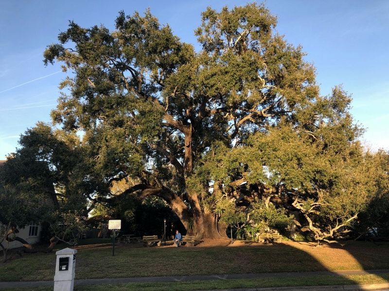
Walden's Live Oak


Walden's Live Oak Marker image. Click for full size.
Photographed By John Stemberger, February 8, 2019
1. Walden's Live Oak Marker
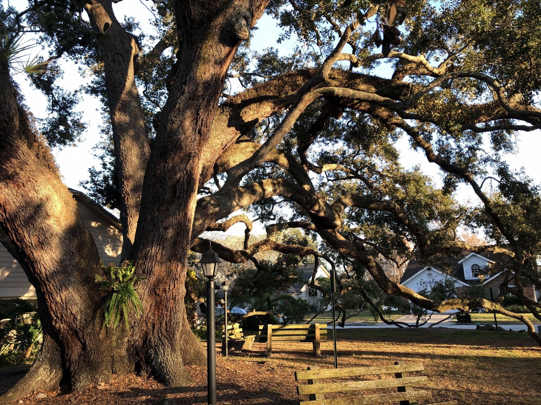
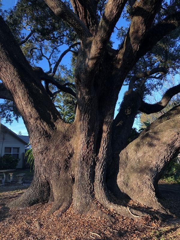
Large Orlando Florida tree dating back to 1548 located in a small neighborhood.
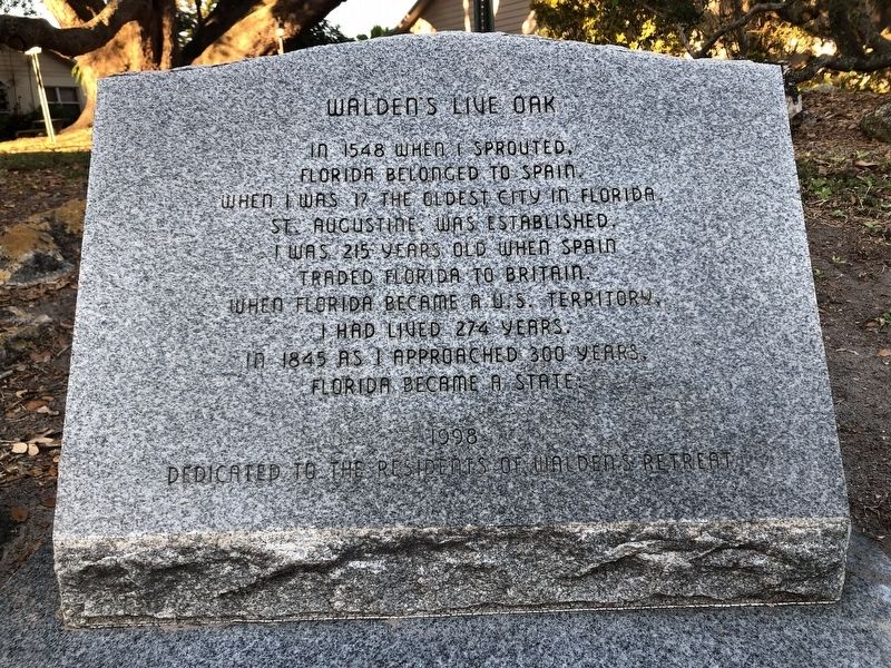
Inscription. In 1548 when I sprouted, Florida belonged to Spain. When I was 17 the oldest city in Florida, St. Augustine, was established. I was 215 years old when Spain traded Florida to Britain. When Florida became a U.S. Territory, I had lived 274 years. In 1845 as I approached 300 years, Florida became a state.

1998
Dedicated to the residents of Walden's Retreat.

 
Erected 1998 by Residents of Walden's Retreat.
 
Topics and series. This historical marker is listed in this topic list: Horticulture & Forestry. In addition, it is included in the Historic Trees series list. A significant historical year for this entry is 1548.
 
Location. 28° 30.552′ N, 81° 19.356′ W. Marker is in Orlando, Florida, in Orange County. Marker is at the intersection of Oakstand Lane and Windy Wood Drive on Oakstand Lane. Located in the Walden's Retreat subdivision off of Ashford Blvd in the larger Byrn Mawr Subdivision off of Conway Road in Orlando. Touch for map. Marker is at or near this postal address: 3215-3299 Oakstand Lane, Orlando FL 32812, United States of America. Touch for directions.
 
Other nearby markers. At least 8 other markers are within 3 miles of this marker, measured as the crow flies. The English Colony/The Polo Club (approx. 0.6 miles away); Conway United Methodist Church/Brick Road (approx. 0.7 miles away); Conway First Baptist Church/Fort Gatlin

Paid Advertisement
Click on the ad for more information.
Please report objectionable advertising to the Editor.
Click or scan to see
this page online
(approx. 1.1 miles away); St. Mary's Missionary Baptist Church/Datson Dairy (approx. 1.7 miles away); Veterans Memorial (approx. 2.4 miles away); The Council Oak (approx. 2.4 miles away); The Soldiers, The Sailors, The Statesmen Monument (approx. 2.6 miles away); Eppes-Shine Plot Greenwood Cemetery (approx. 2.6 miles away). Touch for a list and map of all markers in Orlando.
 
More about this marker. Once you drive into Walden's Retreat then make your first left turn, take the road which will wind to the right and then turn right on Oakstand and at the end of the short street the tree and park area are on the left.
 
Additional keywords. Bryn Mawr Subdivision, Conway, Walden's Retreat, Orlando, Old Trees, Corner of Oakstand Lane and Windy Wood.
 
Walden's Live Oak Marker image. Click for full size.
Photographed By John Stemberger, February 8, 2019
2. Walden's Live Oak Marker
Walden's Live Oak Marker image. Click for full size.
Photographed By John Stemberger, February 8, 2019
3. Walden's Live Oak Marker
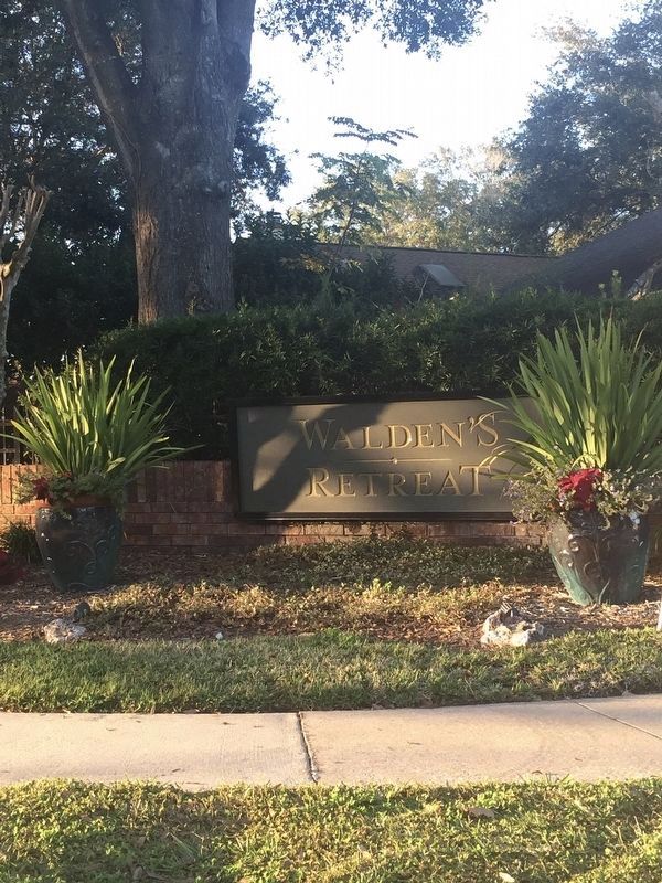
Walden's Live Oak image. Click for full size.
Photographed By John Stemberger, February 8, 2019
4. Walden's Live Oak
Walden's Live Oak Marker image. Click for full size.
Photographed By John Stemberger, February 8, 2019
5. Walden's Live Oak Marker
 
 
Credits. This page was last revised on February 11, 2019. It was originally submitted on February 9, 2019, by John Stemberger of Orlando, Florida. This page has been viewed 601 times since then and 67 times this year. Photos:   1, 2, 3, 4, 5. submitted on February 9, 2019, by John Stemberger of Orlando, Florida. • Andrew Ruppenstein was the editor who published this page.
Share this page.  
Share on Tumblr
m=129719

CeraNet Cloud Computing sponsors the Historical Marker Database.
This website earns income from purchases you make after using our links to Amazon.com. We appreciate your support.
Paid Advertisement
Apr. 23, 2024