The Bridge of 1852
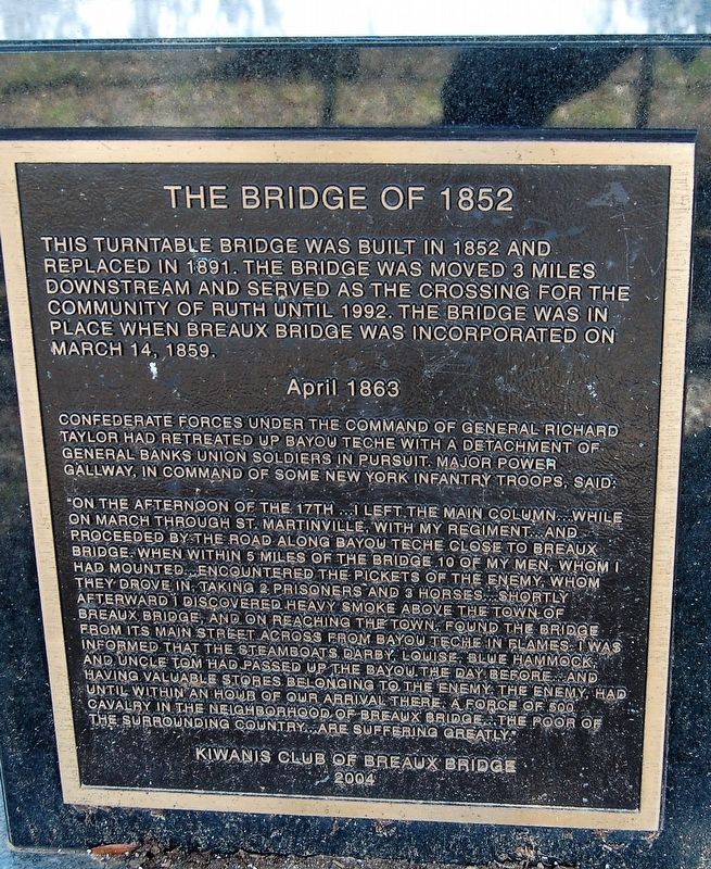
This turntable bridge was built in 1852 and replaced in 1891. The bridge was moved 3 miles downstream and served as a crossing for the community of Ruth until 1992. The bridge was in place when Breaux Bridge was incorporated on March 14, 1859.
Confederate forces under the command of General Richard Taylor had retreated up Bayou Teche with a detachment of General Banks Union soldiers in pursuit. Major Power Gallway, in command of some New York infantry troops said:
"On the afternoon of the 17th... I left the main column...while on march through St. Martinville with my regiment...and proceeded by road along the Bayou Teche close to Breaux Bridge. When within 5 miles of the bridge 10 of my men, whom I had mounted...encountered the pickets of the enemy, whom they drove in, taking 2 prisoners and 3 horses...shortly afterwards I discovered heavy smoke above the Town of Breaux Bridge, and on reaching the town, found the bridge from its Main Street across from Bayou Teche in flames. I was informed that the steamboats Darby, Louise, Blue Hammock, and Uncle Tom had passed up the bayou the day before...and having valuable stores belonging to the enemy, the enemy, had until within an hour of our arrival there a force of 500 cavalry in the neighborhood of Breaux Bridge...the poor of the surrounding country...are
suffering greatly."Erected 2004 by Kiwanis Club of Breaux Bridge.
Topics. This historical marker is listed in these topic lists: Bridges & Viaducts • War, US Civil • Waterways & Vessels.
Location. 30° 16.572′ N, 91° 53.992′ W. Marker is in Breaux Bridge, Louisiana, in St. Martin Parish. Marker is on St. Bernard Street, on the left when traveling south. Touch for map. Marker is in this post office area: Breaux Bridge LA 70517, United States of America. Touch for directions.
Other nearby markers. At least 8 other markers are within walking distance of this marker. Legend of Bayou Teche/La Legendè Du Bayou Teche (about 500 feet away, measured in a direct line); St. Bernard School History (about 600 feet away); Most Rev. Jules B. Jeanmard, D.D. (about 600 feet away); St. Bernard's Catholic Church (about 700 feet away); Birthplace of Bishop Jules Jeanmard/Lieu de Naissance de L'Évêque Jules Jeanmard (about 700 feet away); Cajun Warrior (approx. 0.2 miles away); Pont Breaux, Louisiane (approx. 0.2 miles away); Scholastique Picou Breaux (approx. 0.2 miles away). Touch for a list and map of all markers in Breaux Bridge.
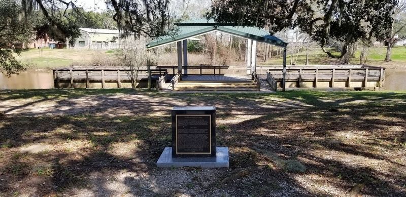
More about this marker. Located in the Parc des Ponts Breaux, a bayou side park between the St. Bernard Catholic Church cemetery and Bayou Teche.
Credits. This page was last revised on March 30, 2024. It was originally submitted on February 10, 2019, by Cajun Scrambler of Assumption, Louisiana. This page has been viewed 289 times since then and 31 times this year. Photos: 1, 2. submitted on February 10, 2019.

