Coulsdon in Greater London, England, United Kingdom — Northwestern Europe (the British Isles)
Open Spaces
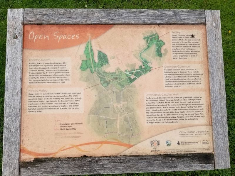
Open Spaces
Farthing Downs
Farthing Downs is owned and managed by City of London Corporation. Along with the three other Coulsdon Commons (Coulsdon Common, Kenley Common and Riddlesdown) it was acquired by the City to protect it for the recreation and enjoyment of the public. More recently the area of protected open space was increased with the purchase of New Hill in 2002 and Woodplace Farm Fields in 2004.
Happy Valley
Happy Valley is owned by Croydon Council and managed with the help of several partner organisations. The chalk grassland slopes are home to many wild plants and animals, and one of Britain's rarest plants, the Greater Yellow Rattle, can be seen in the summer. There are also rich wildflower meadows and ancient woodland to explore, and almost half of all species of butterfly found in Britain can be seen in Happy Valley.
Kenley
Kenley Common surrounds a former Battle of Britain airfield, (believed to be the best preserved example of its type that survives) and is a mixture of chalk grassland and ancient woodland. Traditional practices of haymaking and hedgelaying together with flower-rich pastures contribute to the unique experience of a visit to Kenley Common.
Coulsdon Common
Coulsdon Common has a varied mix of habitats for you to discover. These include ancient woodland which in spring is enhanced with the colour of Bluebells. In summer the chalk grassland flourishes with many flowers. Glades in the woodland support remnants of heathland where Heather and Gorse survive from days gone by.
Downlands Circular Walk
The Downlands Circular walk is a 6-mile self guided trail created by the Downlands Project. The walk starts from either Farthings Downs or from the Fox Public House, and leads through chalk grassland, farmland and woodland. The walk passes through ancient woodland and past Chaldon Church, famous for its 'Doom Painting’ that dates from 1200AD and depicts ‘The ladder of salvation of the human soul’. The walk continues through Alderstead Heath, which was used as a secret food store by the armed forces during the Second World War, and out onto the North Downs Way. Amazing views can be seen here, across the Weald to the South Downs, before the walk returns to Happy Valley and Farthing Downs.
Topics. This historical marker is listed in this topic list: Parks & Recreational Areas. A significant historical year for this entry is 2002.
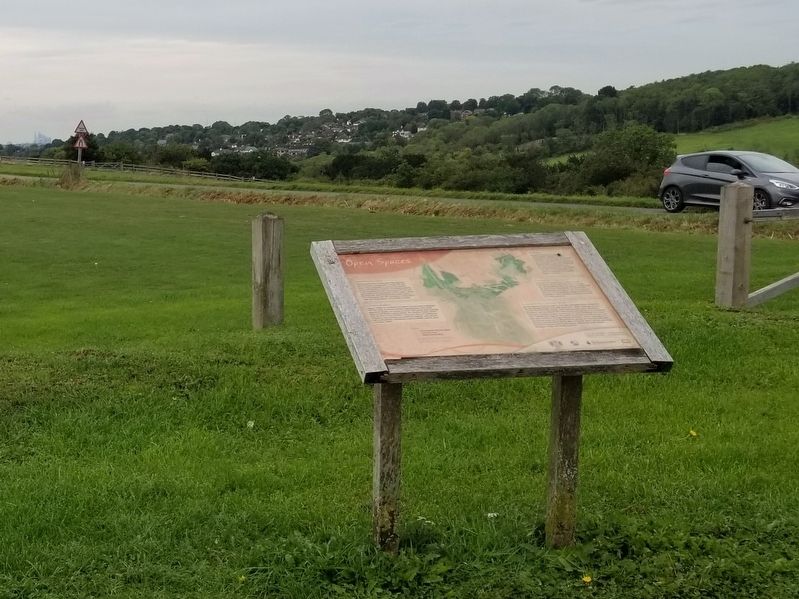
Location. 51° 17.974′ N, 0° 8.099′ W. Marker is in Coulsdon, England, in Greater London. Marker is at the intersection of Ditches Lane and Drive Road, on the left when traveling north on Ditches Lane. Located on Farthing Downs. Touch for map. Marker is in this post office area: Coulsdon, England CR5 1DA, United Kingdom. Touch for directions.
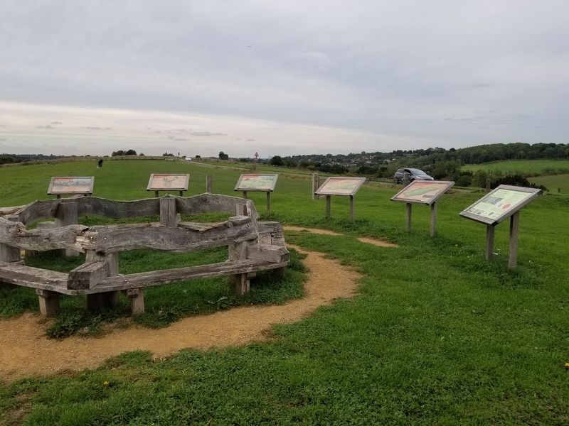
Other nearby markers. At least 8 other markers are within 14 kilometers of this marker, measured as the crow flies. The City of London (here, next to this marker); Chalk Grassland (here, next to this marker); Early History (here, next to this marker); Recent History (here, next to this marker); Lord Nelson Memorial (approx. 13.3 kilometers away); Merton Place (approx. 13.4 kilometers away); The Mansion (approx. 13.5 kilometers away); Sweech House (approx. 13.6 kilometers away). Touch for a list and map of all markers in Coulsdon.
Also see . . . Farthing Downs on Wikipedia. (Submitted on February 11, 2019, by Michael Herrick of Southbury, Connecticut.)
Credits. This page was last revised on January 27, 2022. It was originally submitted on February 11, 2019, by Michael Herrick of Southbury, Connecticut. This page has been viewed 188 times since then and 33 times this year. Photos: 1, 2, 3. submitted on February 11, 2019, by Michael Herrick of Southbury, Connecticut.


