Passer le cap / Keeping on course
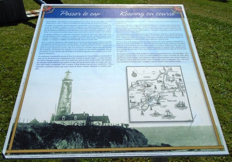
Cap-des-Rosiers : Selon plusieurs, c'est à Champlain que l'on doit le nom de notre village. Il l'aurait nommé ainsi, en 1632, en raison de l'abondance des rosiers sauvages qui recouvraient la falaise...
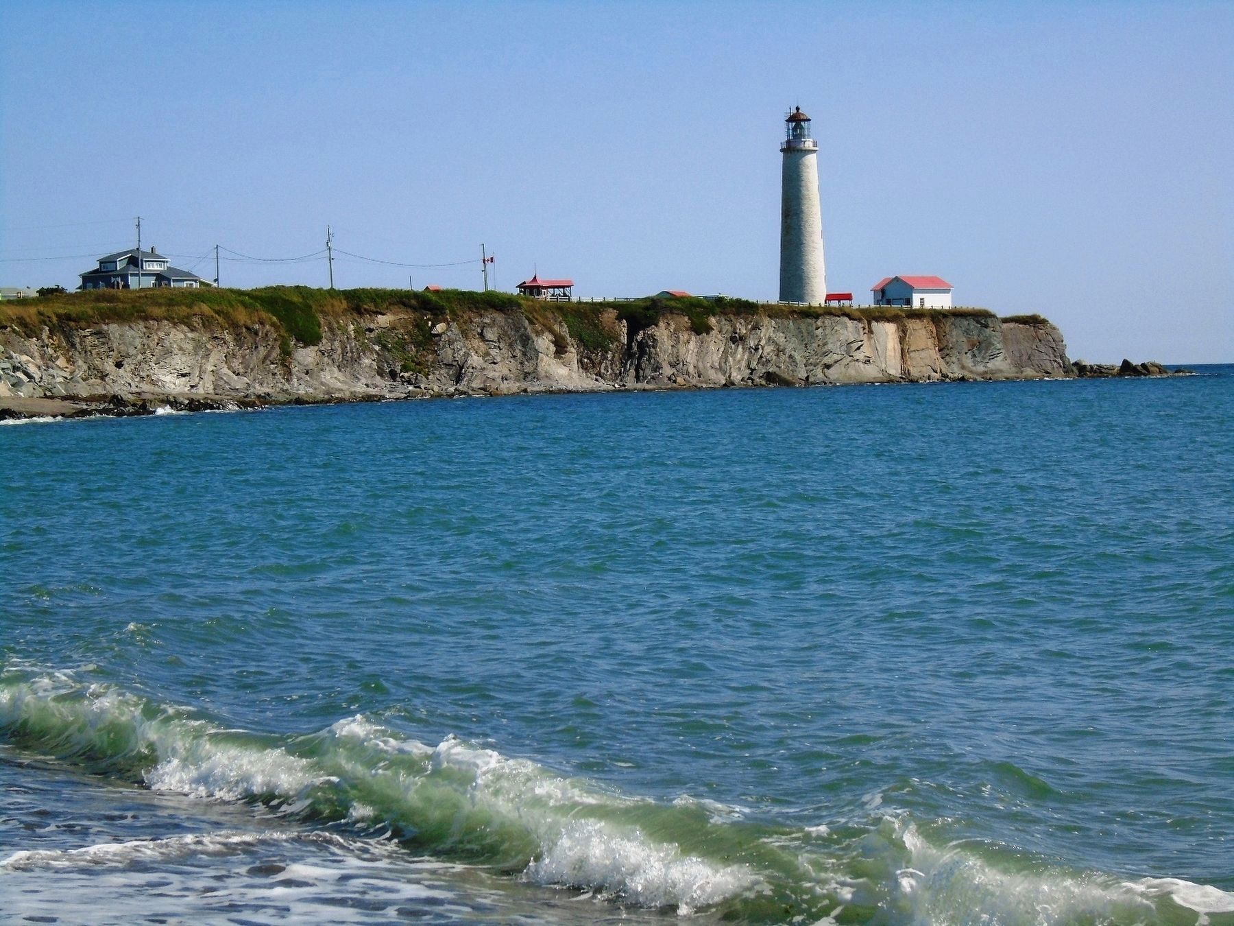
Or, malgré cette appellation des plus charmantes, Cap-des-Rosiers est l'un des lieux oú l'on dénombre le plus de naufrages en Gaspésie. En effet, la navigation y fut longtemps périlleuse en raison de la grande force et de l'irrégularité des courants et de l'absence d'aide à la navigation lumineuse. Ce sont donc des dizaines de bâtiments de toutes dimensions et de toutes contrées qui touchèrent le « cap des Rosiers » ou ses environs immédiats, par gros temps, surtout dans les nuits de tempêtes et de brouillard.
Pour illustrer l'ampleur de ce phénomène, mentionnons qu'entre les mois d'avril 1840 et août 1848, huit (8) vaisseaux y firent naufrage ou s'y échouèrent, occasionnant pour la plupart de graves pertes humaines et matérielles. Un monument funéraire, érigé sur le « banc du cap », rappelle l'une de ces tragédies : le naufrage du CARRICK'S OF WHITEHAVEN, survenu le 28 avril 1847.
Aussi, en vertu des dangers que créait
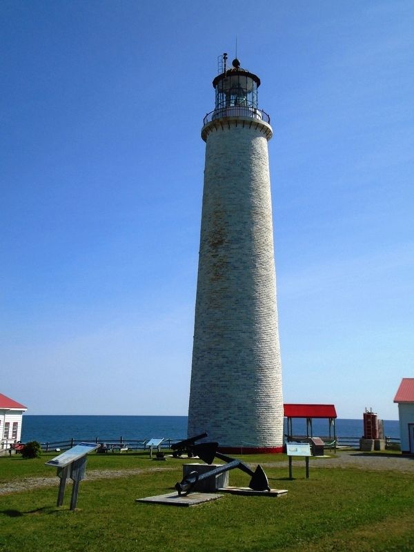
l'approche de ce secteur par les navigateurs, plusieurs autorités revendiquèrent l'érection d'un phare à Cap-des-Rosiers. De multiples arguments militaient en faveur du choix de ce site qui constitue la porte d'entrée du fleuve Saint-Laurent sur sa rive sud : création d'un point de repère représentant le premier signe de la présence du continent, augmentation de la sécurité des navigateurs, accroissement de l'efficacité et de la rapidité du trafic maritime permettant ainsi de concurrencer les ports de New York, de Boston et de Portland (importants ports d'entrée pour le commerce de l'Ouest), etc.Ces nombreuses considérations amenèrent donc les commissaires des Travaux Publics à recommander le choix de Cap-des-Rosiers pour l'établissement d'une « lumière de première classe ». Ce choix fut à bien des égards stratégique comme en fait foi un article paru dans La Presse du 28 octobre 1950 indiquant que monsieur Joseph Ferguson, alors gardien du phare de Cap-des-Rosiers, reçut une citation pour vigilance ayant repéré, en septembre 1942, le premier U-Boat allemand dans les eaux canadiennes. Cette importante contribution permis sans aucun doute de freiner l'invasion allemande en territoire canadien...
Now,
This happened often, as the period between April 1840 and August 1848 shows: eight (8) vessels were shipwrecked or were washed ashore there, resulting for the most part in serious human and material losses. A funeral monument was built on the beach ridge as a reminder of one of those tragedies: the shipwreck of CARRICK'S OF WHITEHAVEN, which happened on April 28, 1847.
And so, in view of the dangers to ships that approached the area, many authorities demanded that a lighthouse be built at Cap-des-Rosiers. There was much to be said in favour of this site, the entrance to the St. Lawrence River on the south shore: creation of a landmark indicating the first sign of the continent; more safety for ships, and better efficiency and speed for maritime traffic, making it possible to compete with the ports of New York Boston, and Portland (important ports of entry for western trade), etc.
For all these reasons, Public Works decided to recommend
Erected by Cap-des-Rosiers Lighthouse Maritime Historical Site.
Topics and series. This historical marker is listed in these topic lists: Communications • Settlements & Settlers • Waterways & Vessels. In addition, it is included in the Lighthouses series list. A significant historical year for this entry is 1632.
Location. 48° 51.371′ N, 64° 12.094′ W. Marker is in Gaspé, Québec, in La Côte-de-Gaspé. Marker can be reached from Boulevard de Cap des Rosiers. Marker is on the grounds Cap-des-Rosiers Lighthouse Maritime Historical Site. Touch for map. Marker is at or near this postal address: 1323 Boulevard de Cap des Rosiers, Gaspé QC G4X 6G7, Canada. Touch for directions.
Other nearby markers. At least 7 other markers are within walking distance of this marker. La tour - La "light" / The tower - The light (a few steps from this marker); Le criard / Fog horn (within shouting distance of this marker); Le phare de Cap des Rosiers Lighthouse
Related marker. Click here for another marker that is related to this marker.
Also see . . .
1. Cap des Rosiers Lighthouse. Lighthouse Friends website entry (Submitted on February 11, 2019, by William Fischer, Jr. of Scranton, Pennsylvania.)
2. Lieu historique national du Canada du Phare-du-Cap-des-Rosiers. Parcs Canada website entry (Submitted on February 11, 2019, by William Fischer, Jr. of Scranton, Pennsylvania.)
Additional keywords. Passer le cap / Keeping on course
Credits. This page was last revised on June 25, 2021. It was originally submitted on February 11, 2019, by William Fischer, Jr. of Scranton, Pennsylvania. This page has been viewed 149 times since then and 24 times this year. Photos: 1, 2. submitted on February 11, 2019, by William Fischer, Jr. of Scranton, Pennsylvania. 3. submitted on February 12, 2019, by William Fischer, Jr. of Scranton, Pennsylvania. 4. submitted on February 11, 2019, by William Fischer, Jr. of Scranton, Pennsylvania.


