Millcreek Township near Erie in Erie County, Pennsylvania — The American Northeast (Mid-Atlantic)
Erie's Industrial Explosion
A Great Lake’s Port
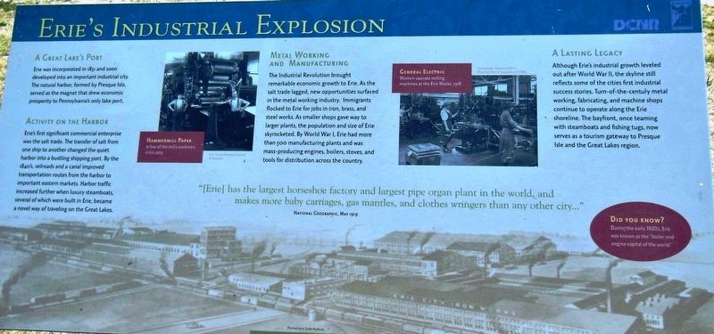
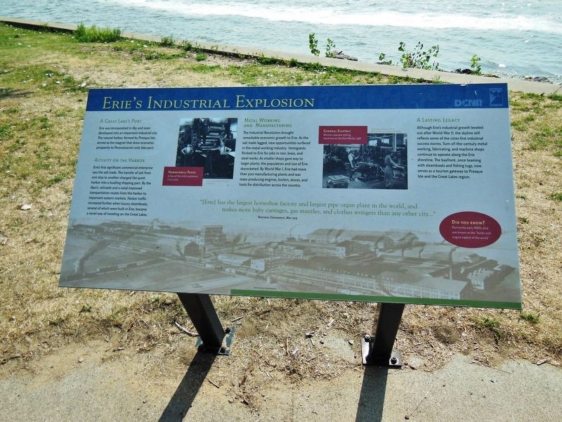
Erie was incorporated in 1851 and soon developed into an important industrial city. The natural harbor, formed by Presque Isle, served as the magnet that drew economic prosperity to Pennsylvania's only lake port.
Activity on the Harbor
Erie's first significant commercial enterprise was the salt trade. The transfer of salt from one ship to another changed the quiet harbor into a bustling shipping port. By the 1840's, railroads and a canal improved transportation routes from the harbor to important eastern markets. Harbor traffic increased further when luxury steamboats, several of which were built in Erie, became a novel way of traveling on the Great Lakes.
Metal Working and Manufacturing
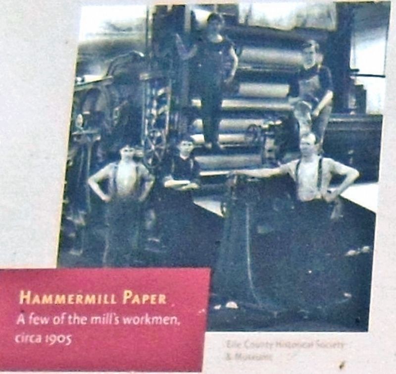
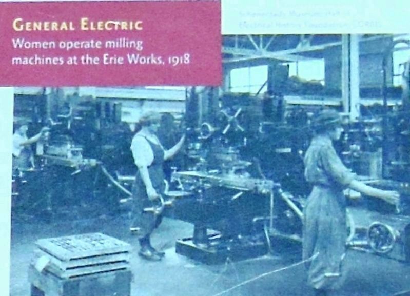
The Industrial Revolution brought remarkable economic growth to Erie. As the salt trade lagged, new opportunities surfaced in the metal working industry. Immigrants flocked to Erie for jobs in iron, brass, and steel works. As smaller shops gave way to larger plants, the population and size of Erie skyrocketed. By World War I, Erie had more than 500 manufacturing plants and was mass-producing engines, boilers, stoves, and tools for distribution across the country.
A Lasting Legacy
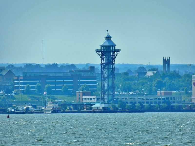
Although Erie's industrial growth leveled out after World War II, the skyline still reflects some of the city’s first industrial success stories. Turn-of-the-century metal working, fabricating, and machine shops continue to operate along the Erie shoreline. The bayfront, once teaming with steamboats and fishing tugs, now serves as a tourism gateway to Presque Isle and the Great Lakes region.
Did You Know?
During the early 1900's, Erie was known as the “boiler and engine capital of the world.”
"[Erie] has the largest horseshoe factory and largest pipe organ plant in the world, and makes more baby carriages, gas mantles, and clothes wringers than any other city...”
National Geographic, May 1919
Marker background image: Pennsylvania State Archives
Erected by Presque Isle Partnership, Pennsylvania Bureau of State Parks, Pennsylvania Department of Community and Economic Development, and Erie Community Foundation.
Topics. This historical marker is listed in these topic lists: Industry & Commerce • Waterways & Vessels. A significant historical year for this entry is 1851.
Location. 42° 9.281′ N, 80° 5.362′ W. Marker is near Erie, Pennsylvania, in Erie County. It is in Millcreek Township. Marker can be reached from the intersection of Fisher Drive and Thompson Drive, on the right when traveling east. Marker
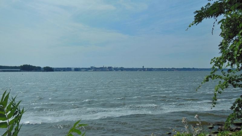
is located along the walking path, near the Commodore Oliver Hazard Perry Monument at Crystal Point in Presque Isle State Park, overlooking Presque Isle Bay, with the Erie waterfront in the distance. Touch for map. Marker is in this post office area: Erie PA 16507, United States of America. Touch for directions.
Other nearby markers. At least 8 other markers are within walking distance of this marker. From the Bay to the Battle (within shouting distance of this marker); Son of the Sea (within shouting distance of this marker); Perry Monument: A Beacon of the Community (within shouting distance of this marker); Commodore Oliver Hazard Perry Monument (within shouting distance of this marker); Tribute to a Hero (within shouting distance of this marker); Fishing on the Sweet Sea (within shouting distance of this marker); And the Misery begins… (within shouting distance of this marker); Preparing For Battle (about 400 feet away, measured in a direct line). Touch for a list and map of all markers in Erie.
More about this marker. Marker is a large, rectangular, composite plaque, mounted horizontally on waist-high posts.
Also see . . . Erie, Pennsylvania. Erie was an important shipbuilding, fishing, and railroad hub during the mid-19th century. Downtown Erie continued to grow for most of the 20th century, based on its manufacturing base. It attracted numerous waves of European immigrants for industrial
jobs. Erie's economy began to suffer in the latter part of the 20th century as industrial restructuring took place and jobs moved out of the area. The importance of American manufacturing, US steel and coal production, and commercial fishing began to gradually decline, resulting in a major population downturn in the 1970s. (Submitted on February 16, 2019, by Cosmos Mariner of Cape Canaveral, Florida.)
Credits. This page was last revised on February 7, 2023. It was originally submitted on February 15, 2019, by Cosmos Mariner of Cape Canaveral, Florida. This page has been viewed 616 times since then and 97 times this year. Photos: 1, 2, 3, 4, 5, 6. submitted on February 16, 2019, by Cosmos Mariner of Cape Canaveral, Florida. • Bill Pfingsten was the editor who published this page.
