Palatka in Putnam County, Florida — The American South (South Atlantic)
The Civil War and the Ravines
1861-1865
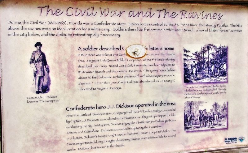
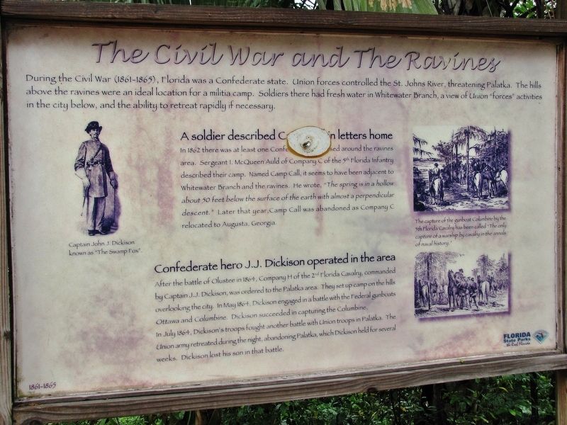
During the Civil War (1861-1865), Florida was a Confederate state. Union forces controlled the St. Johns River, threatening Palatka. The hills above the ravines were an ideal location for a militia camp. Soldiers there had fresh water in Whitewater Branch, a view of the Union “forces” activities in the city below, and the ability to retreat rapidly if necessary.
A Soldier described Camp Call in letters home
In 1862 there was at least one Confederate unit housed around the ravines area. Sergeant I. McQueen Auld of Company C of the 5th Florida Infantry described their camp. Named Camp Call, it seems to have been adjacent to Whitewater Branch and the ravines. He wrote, “The springs is in a hollow about 50 feet below the surface of the earth with almost a perpendicular descent.” Later that year, Camp Call was abandoned as Company C relocated to Augusta, Georgia.
Confederate hero J.J. Dickison operated in the area
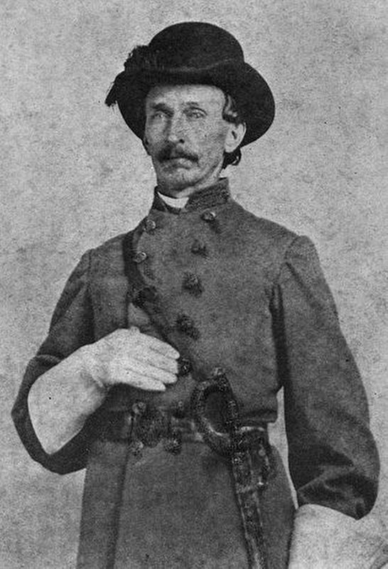
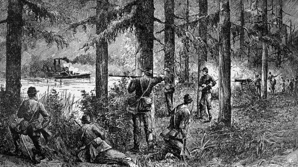
After the battle of Olustee in 1864, Company H of the 2nd Florida Cavalry, commanded by Captain J.J. Dickison, was ordered to the Palatka area. They set up camp on the hills overlooking the city. In 1864, Dickison engaged in a battle with the federal gunboats Ottawa and Columbine. Dickison succeeded in capturing the Columbine. In July 1864, Dickison's troops fought another battle with Union troops in Palatka. The Union army retreated during the night, abandoning Palatka, which Dickison held for several weeks. Dickison lost his son in that battle.
(photo captions)
• Captain John J. Dickison, known as “The Swamp Fox”.
• The capture of the gunboat Columbine by the 5th Florida Cavalry has been called “The only capture of a warship by cavalry in the annals of naval history.”
Erected by Florida State Parks.
Topics. This historical marker is listed in these topic lists: War, US Civil • Waterways & Vessels.
Location. Marker has been reported missing. It was located near 29° 38.074′ N, 81° 38.83′ W. Marker was in Palatka, Florida, in Putnam County. Marker could be reached from Twigg Street east of South 18th Street, on the right when traveling east. Located within Ravine Gardens State Park, along the gardens loop road, overlooking the ravine. Touch for map. Marker was at or near this postal address: 1600 Twigg Street, Palatka FL 32177, United States of America. Touch for directions.
Other nearby markers. At least 8 other markers are within one mile of this location, measured as the crow flies. Ravine State Gardens (about 500 feet away, measured in a direct line); William Bartram Trail (approx. 0.2 miles away); Garden Center History (approx. 0.2 miles away); Suspension Bridges and Amphitheater (approx. 0.2 miles away); Native Americans at the River (approx. ¼ mile away); Palatka Waterworks (approx. 0.3 miles away); Grand Gables Inn (approx. 0.9 miles away); Palatka (approx. 1.1 miles away). Touch for a list and map of all markers in Palatka.
Also see . . .
1. The Confederate 'Swamp Fox' and the Battle of Horse Landing. Volusia County History website entry:
One of few instances where Confederates suffered no casualties and was also the first battle in United States history where a cavalry unit sank an enemy gunboat. (Submitted on November 27, 2023, by Larry Gertner of New York, New York.)
2. The Swamp Fox of the Confederacy – John Jackson Dickison. Civil War Talk website entry (Submitted on November 27, 2023, by Larry Gertner of New York, New York.)
Credits. This page was last revised on November 27, 2023. It was originally submitted on February 18, 2019, by Cosmos Mariner of Cape Canaveral, Florida. This page has been viewed 880 times since then and 260 times this year. Photos: 1, 2. submitted on February 19, 2019, by Cosmos Mariner of Cape Canaveral, Florida. 3, 4. submitted on November 27, 2023, by Larry Gertner of New York, New York. • Bernard Fisher was the editor who published this page.
Editor’s want-list for this marker. A wide shot of the marker and its surroundings. • Can you help?


