Downtown in Campbell in Santa Clara County, California — The American West (Pacific Coastal)
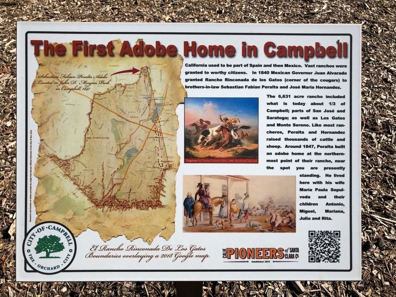
The First Adobe Home in Campbell
Inscription.
California used to be part of Spain and then Mexico. Vast ranchos were granted to worthy citizens. In 1840 Mexican Governor Juan Alvarado granted Rancho Rinconada de los Gatos (corner of the cougars) to brothers-in-law Sebastian Fabian Peralta and José Maria Hernandez.
The 6,631 acre rancho included what is today about 1/3 of Campbell; parts of San José and Saratoga; as well as Los Gatos and Monte Sereno. Like most rancheros, Peralta and Hernandez raised thousands of cattle and sheep. Around 1847, Peralta built an adobe home at the northern-most point of their rancho, near the spot you are presently standing. He live here with his wife Maria Paula Sepulveda and their children Antonio, Miguel, Mariana, Julia and Rita.
Erected 2018 by California Pioneers of Santa Clara County, City of Campbell.
Topics. This historical marker is listed in this topic list: Settlements & Settlers.
Location. 37° 17.064′ N, 121° 57.532′ W. Marker is in Campbell, California, in Santa Clara County. It is in Downtown. Marker can be reached from Rincon Avenue near Dot Avenue, on the left when traveling west. Touch for map. Marker is at or near this postal address: 540 West Rincon Avenue, Campbell CA 95008, United States of America. Touch for directions.
Other nearby markers. At least 8 other markers are within walking distance of this marker . De Anza Expedition (within shouting distance of this marker); Campbell Union High School (approx. 0.4 miles away); a different marker also named Campbell Union High School (approx. half a mile away); Campbell Union Grammar School, 1922-64 (approx. 0.6 miles away); a different marker also named Campbell Union Grammar School (approx. 0.6 miles away); Serafino Manfre House (approx. 0.6 miles away); Country Woman's Club (approx. 0.8 miles away); Campbell Water Company (approx. 0.8 miles away). Touch for a list and map of all markers in Campbell.
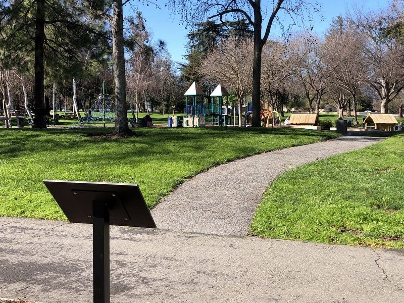
More about this marker. The marker is located near the parking lot of John D. Morgan Park.
Credits. This page was last revised on February 7, 2023. It was originally submitted on February 22, 2019, by Barry Swackhamer of Brentwood, California. This page has been viewed 216 times since then and 23 times this year. Photos: 1, 2. submitted on February 22, 2019, by Barry Swackhamer of Brentwood, California.

