Near Gaffney in Cherokee County, South Carolina — The American South (South Atlantic)
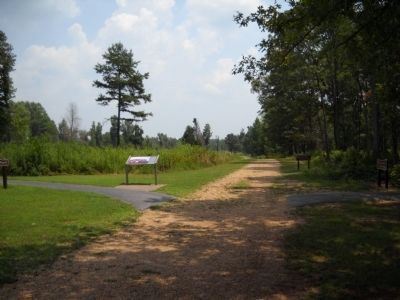
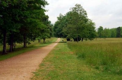
Sword Clash on Green River Road
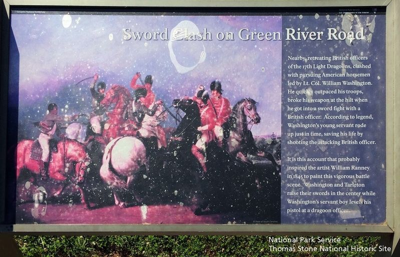
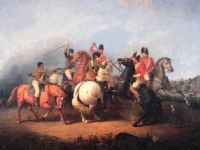
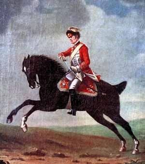
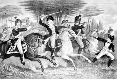
Nearby, retreating British officers of the 17th Light Dragoons, clashed with pursuing American horsemen led by Lt. Col. William Washington. He quickly outpaced his troops, broke his weapon at the hilt when he got into a sword fight with a British officer. According to legend, Washington's young servant rode up just in time, saving his life by shooting the attacking British officer.
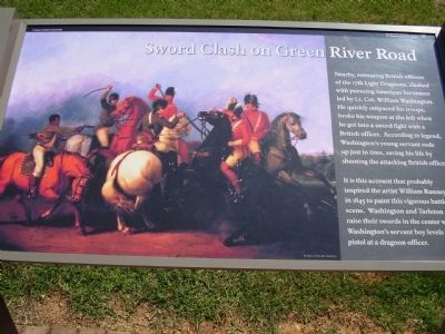
It is this account that probably inspired the artist William Ranney in 1845 to paint this vigorous battle scene. Washington and Tarleton raise their swords in the center while Washington's servant boy levels his pistol at a dragoon officer.
Erected by National Park Service.
Topics. This historical marker is listed in these topic lists: Roads & Vehicles • War, US Revolutionary. A significant historical year for this entry is 1845.
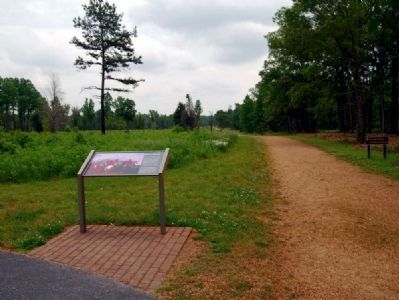
Location. 35° 7.976′ N, 81° 48.6′ W. Marker is near Gaffney, South Carolina, in Cherokee County. Marker can be reached from Chesnee Highway (Route 11), on the right when traveling east. Located on Cowpens National Battlefield Park. Touch for map. Marker is in this post office area: Gaffney SC 29341, United States of America. Touch for directions.
Other nearby markers. At least 10 other markers are within walking distance of this marker. The British Army (here, next to this marker); Landscape Restoration Project (about 300 feet away, measured in a direct line); Form the Line of Battle (about 600 feet away); January 17, 1781 (about 600 feet away); Skirmishers Retreat, British Advance (about 700 feet away); Sharpshooters at the Skirmish Line (about 700 feet away); Let 'em Get Within Killin' Distance (approx. 0.2 miles away); A Race for the Grasshopper (approx. 0.2 miles away); Colonel Howard's Misunderstood Order (approx. 0.2 miles away); Double Envelopment (approx. ¼ mile away). Touch for a list and map of all markers in Gaffney.
More about this marker. On the left side of the marker is a painting depicting the personal battle between Washington and Tarleton.
Also see . . .
1. Battle of Cowpens. National Park Service page. (Submitted on October 27, 2008, by Craig Swain of Leesburg, Virginia.)
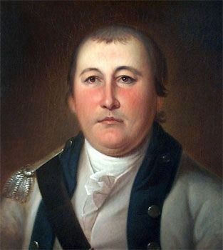
2. William Washington. William Washington (February 28, 1752 to March 6, 1810), was an officer of the Continental Army during the American Revolutionary War, who held a final rank of Brigadier General in the newly created United States after the war. (Submitted on June 26, 2010, by Brian Scott of Anderson, South Carolina.)
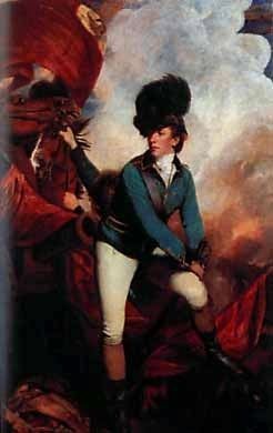
3. Banastre Tarleton. General Sir Banastre Tarleton, 1st Baronet, GCB (21 August 1754 – 16 January 1833) was a British soldier and politician. (Submitted on June 26, 2010, by Brian Scott of Anderson, South Carolina.)
4. The 17th Light Dragoons in North America. The 17th Light Dragoons is a non-profit educational group devoted to the accurate portrayal of the British Horse Soldier throughout the American War of Independence. (Submitted on June 26, 2010, by Brian Scott of Anderson, South Carolina.)
5. William Ranney. William Tylee Ranney (1813 – 1857) was a 19th century American painter. (Submitted on June 26, 2010, by Brian Scott of Anderson, South Carolina.)
6. The Green River Road (Mills Gap Road). Besides using roads for travel, armies in the Revolutionary War often fought on them. (Submitted on June 26, 2010, by Brian Scott of Anderson, South Carolina.)
Credits. This page was last revised on October 16, 2020. It was originally submitted on October 26, 2008, by Stanley and Terrie Howard of Greer, South Carolina. This page has been viewed 1,487 times since then and 18 times this year. Photos: 1. submitted on June 26, 2010, by Brian Scott of Anderson, South Carolina. 2. submitted on August 30, 2019. 3. submitted on October 26, 2008, by Stanley and Terrie Howard of Greer, South Carolina. 4. submitted on June 26, 2010, by Brian Scott of Anderson, South Carolina. 5. submitted on August 22, 2010, by Bill Coughlin of Woodland Park, New Jersey. 6, 7, 8, 9, 10, 11. submitted on June 26, 2010, by Brian Scott of Anderson, South Carolina. • Craig Swain was the editor who published this page.
