Williamsburg in James City County, Virginia — The American South (Mid-Atlantic)
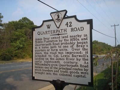
Quarterpath Road
Erected 1998 by Department of Historic Resources. (Marker Number W-42.)
Topics and series. This historical marker is listed in these topic lists: Colonial Era • Notable Places. In addition, it is included in the Virginia Department of Historic Resources (DHR) series list.
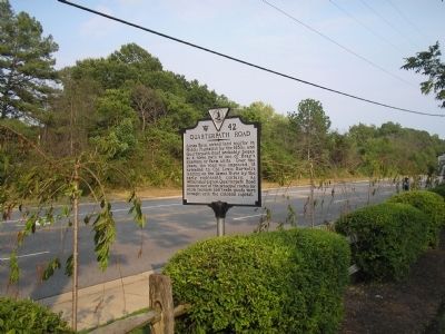
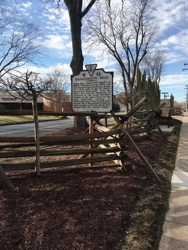
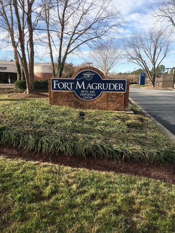
Location. 37° 15.848′ N, 76° 40.707′ W. Marker is in Williamsburg, Virginia, in James City County. Marker is at the intersection of Pocahontas Trail (U.S. 60) and Avon Avenue, on the right when traveling east on Pocahontas Trail. The marker is in front of the Fort Magruder Hotel and Conference Center. Touch for map. Marker is in this post office area: Williamsburg VA 23185, United States of America. Touch for directions.
Other nearby markers. At least 8 other markers are within walking distance of this marker. Peninsula Campaign (within shouting distance of this marker); The Battle of Williamsburg (within shouting distance of this marker); History of Fort Magruder (about 600 feet away, measured in a direct line); Magruder’s Defenses (approx. 0.3 miles away); a different marker also named Battle of Williamsburg (approx. 0.4 miles away); Redoubt 2 (approx. half a mile away); a different marker also named Battle of Williamsburg (approx. half a mile away); Vineyard Tract (approx. 0.6 miles away). Touch for a list and map of all markers in Williamsburg.
Credits. This page was last revised on March 1, 2019. It was originally submitted on August 20, 2008, by Bill Coughlin of Woodland Park, New Jersey. This page has been viewed 1,599 times since then and 47 times this year. Last updated on February 27, 2019, by Brandon D Cross of Flagler Beach, Florida. Photos: 1, 2. submitted on August 20, 2008, by Bill Coughlin of Woodland Park, New Jersey. 3, 4. submitted on February 27, 2019, by Brandon D Cross of Flagler Beach, Florida. • Bill Pfingsten was the editor who published this page.


