Galveston in Galveston County, Texas — The American South (West South Central)
Kuhn's Wharf
1838
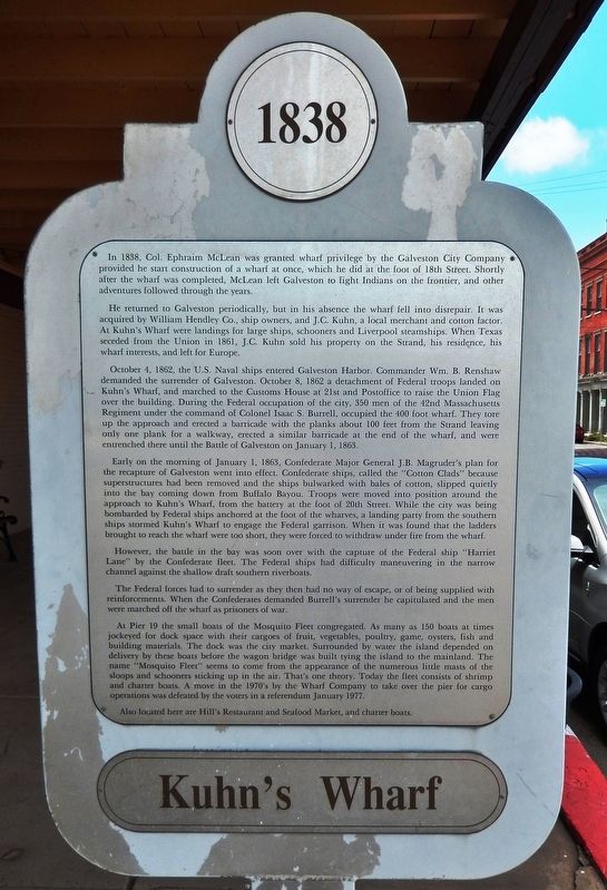
He returned to Galveston periodically, but in his absence the wharf fell into disrepair. It was acquired by William Hendley Co., ship owners, and J.C. Kuhn, a local merchant and cotton factor. At Kuhn's Wharf were landings for large ships, schooners and Liverpool steamships. When Texas seceded from the Union in 1861, J.C. Kuhn sold his property on the Strand, his residence, his wharf interests, and left for Europe.
October 4, 1862, the U.S. Naval ships entered Galveston Harbor. Commander Wm. B. Renshaw demanded the surrender of Galveston. October 8, 1862 a detachment of Federal troops landed on Kuhn's Wharf, and marched to the Customs House at 21st and Postoffice to raise the Union Flag over the building. During the Federal occupation of the city, 350 men of the 42nd Massachusetts Regiment under the command of Colonel Isaac S. Burrell, occupied the 400 foot wharf. They tore up the approach and erected a barricade with the planks about 100 feet from the Strand leaving only one plank for a walkway, erected a similar barricade at the end of the wharf, and were entrenched there until the Battle of Galveston on January 1, 1863.
Early on the morning of January 1, 1863, Confederate Major General J.B. Magruder's plan for the recapture of Galveston went into effect. Confederate ships, called the "Cotton Clads" because superstructures had been removed and the ships bulwarked with bales of cotton, slipped quietly into the bay coming down from Buffalo Bayou. Troops were moved into position around the approach to Kuhn's Wharf, from the battery at the foot of 20th Street. While the city was being bombarded by Federal ships anchored at the foot of the wharves, a landing party from the southern ships stormed Kuhn's Wharf to engage the Federal garrison. When it was found that the ladders brought to reach the wharf were too short, they were forced to withdraw under fire from the wharf.
However, the battle in the bay was soon over with the capture of the Federal ship "Harriet Lane" by the Confederate fleet. The Federal ships had difficulty maneuvering in the narrow channel against the shallow draft southern riverboats.
The Federal forces had to surrender as they then had no way of escape, or of being supplied with reinforcements. When the Confederates demanded Burrell's surrender he capitulated and the men were marched off the wharf as prisoners of war.
At
Pier 19 the small boats of the Mosquito Fleet congregated. As many as 150 boats at times jockeyed for dock space with their cargoes of fruit, vegetables, poultry, game, oysters, fish and building materials. The dock was the city market. Surrounded by water the island depended on delivery by these boats before the wagon bridge was built tying the island to the mainland. The name "Mosquito Fleet" seems to come from the appearance of the numerous little masts of the sloops and schooners sticking up in the air. That's one theory. Today the fleet consists of shrimp and charter boats. A move in the 1970's by the Wharf Company to take over the pier for cargo operations was defeated by the voters in a referendum January 1977.
Also located here are Hill's Restaurant and Seafood Market, and charter boats.
Topics. This historical marker is listed in these topic lists: Industry & Commerce • War, US Civil • Waterways & Vessels. A significant historical year for this entry is 1838.
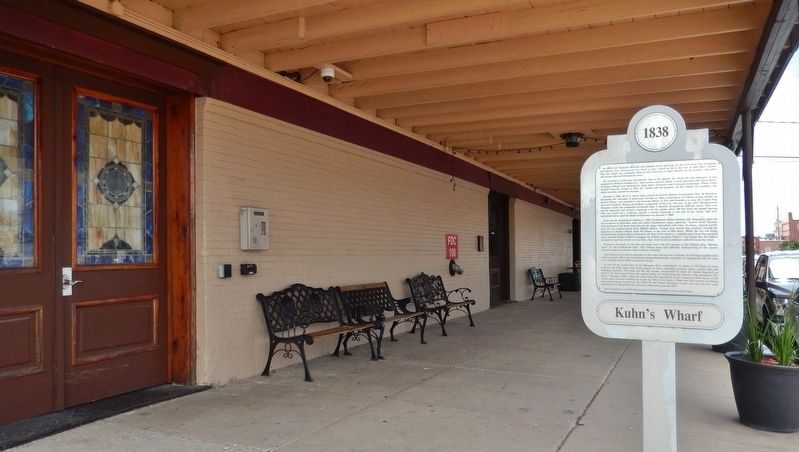
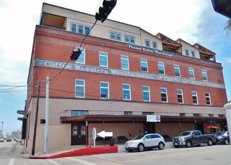
Location. 29° 18.53′ N, 94° 47.466′ W. Marker is in Galveston, Texas, in Galveston County. Marker is on 20th Street south of Harborside Drive (State Highway 275), on the right when traveling north. Touch for map. Marker is at or near this postal address: 102 20th Street, Galveston TX 77550, United States of America. Touch for directions.
Other nearby markers. At least 8 other markers are within walking distance of this marker. Hendley's Row (about 300 feet away, measured in a direct line); Hendley Row
(about 300 feet away); The Hendley Building (about 400 feet away); Galveston Historical Foundation (about 400 feet away); Pier 19, Mosquito Fleet Berth (about 400 feet away); First Navy of the Republic of Texas (about 600 feet away); C. F. Marschner Building (about 600 feet away); Middle Passage Galveston, Texas (about 600 feet away). Touch for a list and map of all markers in Galveston.
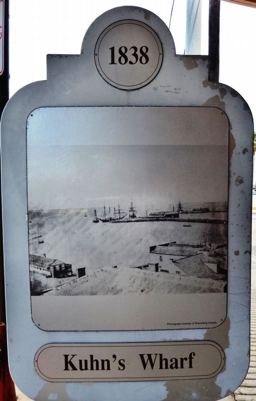
More about this marker. Marker consists of two large laser-printed metal plaques, one with text and one with an historic photo, mounted vertically at eye-level, on either side of a five-foot tall post.
Also see . . . The Galveston Wharves. The first commercial wharves in Galveston were built by Ephraim W. McLean, who established his Kuhn's Wharf at the foot of Eighteenth Street. Other mercantile and trading firms followed with their own piers to serve their firms. By 1840, with a growing population of more than 3,000, Galveston was the largest city in Texas and a main destination point for European immigrants. From 1845 to 1854 Galveston's ship traffic
grew from 251 to 600 a year. (Submitted on February 27, 2019, by Cosmos Mariner of Cape Canaveral, Florida.)
Credits. This page was last revised on February 28, 2019. It was originally submitted on February 27, 2019, by Cosmos Mariner of Cape Canaveral, Florida. This page has been viewed 405 times since then and 41 times this year. Photos: 1, 2, 3, 4. submitted on February 27, 2019, by Cosmos Mariner of Cape Canaveral, Florida. • Bernard Fisher was the editor who published this page.


