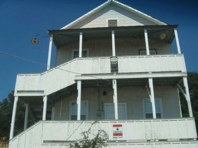
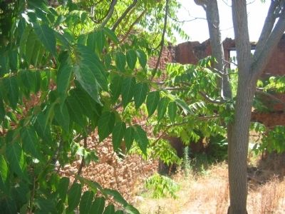
Jenny Lind in Calaveras County, California — The American West (Pacific Coastal)
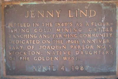
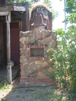
Jenny Lind
Erected 1987 by N.D.G.W. - Dedicated on the 100th anniversary of Joaquin Parlor No.5, Stockton , Native Daughters of the Golden West . April 4, 1987. (Marker Number 266.)
Topics and series. This historical marker is listed in these topic lists: Agriculture • Industry & Commerce • Landmarks • Natural Resources • Notable Buildings • Notable Places • Settlements & Settlers. In addition, it is included in the California Historical Landmarks, and the Native Sons/Daughters of the Golden West series lists.
Location. 38° 5.678′ N, 120° 52.211′ W. Marker is in Jenny Lind, California, in Calaveras County. Marker is on Milton Road, on the right when traveling east. Touch for map. Marker is in this post office area: Valley Springs CA 95252, United States of America. Touch for directions.
Other nearby markers. At least 8 other markers are within 11 miles of this marker, measured as the crow flies. Milton Masonic Hall (approx. 4.4 miles away); Valley Spring (approx. 7 miles away); Camanche (approx. 8.3 miles away); Double Springs (approx. 8.8 miles away); Campo Seco (approx. 9.2 miles away); Lancha Plana (approx. 10.6 miles away); a different marker also named Double Springs (approx. 10.6 miles away); Madame Josephine Felix (approx. 10.8 miles away).
Regarding Jenny Lind. This site has been designated as California Registered Historical Landmark No.266
Also see . . .
1. History of Jenny Lind. (Submitted on October 27, 2008, by Syd Whittle of Mesa, Arizona.)
2. Funny Names Towns: Jenny Lind, Ca.. (Submitted on October 27, 2008, by Syd Whittle of Mesa, Arizona.)
Additional keywords. Gold Rush
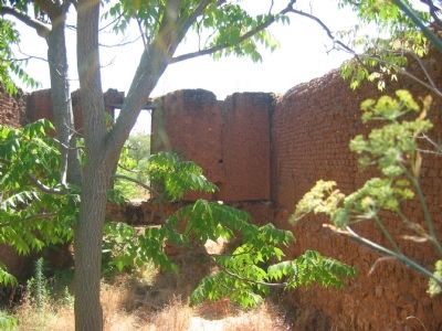
Photographed By Syd Whittle, August 3, 2006
6. The Rosenberg Store Ruins
The Rosenberg Store Ruins are the last remaining Gold Rush elements in Jenny Lind today. Chinese coolies quarried the stone blocks used in constructing this store from the local hills. They then carted the stones to the site in wheeled contraptions similar to our wheelbarrows, but with the bed on a swinging pivot. Rosenberg’s store stocked men’s clothing and was advertised as supplying the “Correct Attire for the Miner or Prospector.” Today only portions of the walls remain, around a slowly filling excavation which was the basement.
Credits. This page was last revised on June 16, 2016. It was originally submitted on October 27, 2008, by Syd Whittle of Mesa, Arizona. This page has been viewed 2,862 times since then and 66 times this year. Photos: 1, 2, 3, 4, 5, 6, 7. submitted on October 27, 2008, by Syd Whittle of Mesa, Arizona.
