Hillsdale in Southeast Washington in Washington, District of Columbia — The American Northeast (Mid-Atlantic)
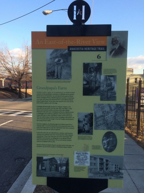
Grandpapa's Farm
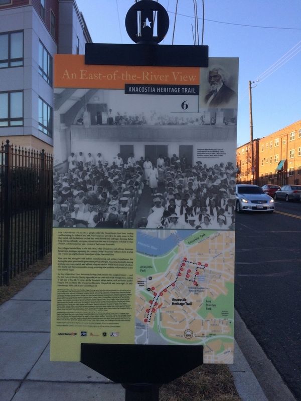
An East-of-the-River View
— Anacostia Heritage Trail —
Vernon Tancil grew up in Northeast D.C., but he so loved summers on his grandfather's small farm in Hillsdale that his parents let him stay on in September 1937 and attend fourth grade at Birney School. Grandpapa Horace Hansborough grew potatoes, string beans, corn, fruit, and cosmos (his favorite flower) on the hillside property along Douglass Road. On less than three-quarters of an acre, he also kept chickens, pigeons, and a few hogs.
Grandpapa Hansborough was born in Culpeper, Virginia, a few years after the end of the Civil War (1861-1865). His father, while a farmer, had owned his mother and many of his older siblings. Widowed in the early 1900s, Grandpapa and his five children moved to Washington. He worked as a gardener at the Naval Hospital on Capitol Hill and as a Navy Yard laborer. About 1918 he and second wife Lula rented a place on Bowen Road. Grandpapa sold produce out of his truck and saved up enough to buy the Douglass Road property that young Vernon visited.
Like their neighbors, the Hansboroughs lived without electricity or running water. A wood-burning kitchen stove heated the house. Even at the end of their lives in 1949, they still hauled water from a pump at the bottom of the hill and used an outhouse.
In the early 1960s, the area still held barns, chickens, and fruit trees. "Almost every yard had a pear tree," Anacostian Rev. Oliver Johnson remembered. "Even if you were poor, you never went hungry." But Hillsdale's rural character was fading fast as city officials rezoned much of Anacostia for apartments. The 525-unit Stanton Gardens replaced Grandpapa's farm in 1965.
Matthew Memorial Baptist Church, one block north of this sign, was founded in 1921 by former members of Bethlehem Baptist Church.
Erected 2013 by Cultural Tourism DC. (Marker Number 6.)
Topics and series. This historical marker is listed in these topic lists: African Americans • Agriculture • Churches & Religion • Education. In addition, it is included in the Anacostia Heritage Trail series list. A significant historical month for this entry is September 1937.
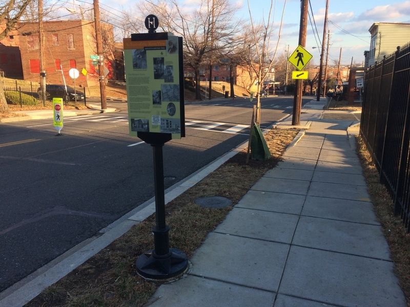
Location. 38° 51.478′ N, 76° 59.737′ W. Marker is in Southeast Washington in Washington, District of Columbia. It is in Hillsdale. Marker is on Martin Luther King Jr. Avenue Southeast south of Eaton Road Southeast, on the right when traveling north. Touch for map. Marker is at or near this postal address: 2631 Martin Luther King Jr Avenue Southeast, Washington DC 20020, United States of America. Touch for directions.
Other nearby markers. At least 8 other markers are within walking distance of this marker. Hillsdale (within shouting distance of this marker); The Curative Powers of Nature (about 400 feet away, measured in a direct line); Campbell African Methodist Episcopal Church
Credits. This page was last revised on January 30, 2023. It was originally submitted on February 2, 2018, by Devry Becker Jones of Washington, District of Columbia. This page has been viewed 269 times since then and 32 times this year. Last updated on March 7, 2019, by Devry Becker Jones of Washington, District of Columbia. Photos: 1, 2, 3. submitted on February 2, 2018, by Devry Becker Jones of Washington, District of Columbia. • Bill Pfingsten was the editor who published this page.


