Pensacola in Escambia County, Florida — The American South (South Atlantic)
Defending a Coastal Colony
— Pensacola Maritime Heritage Trail —
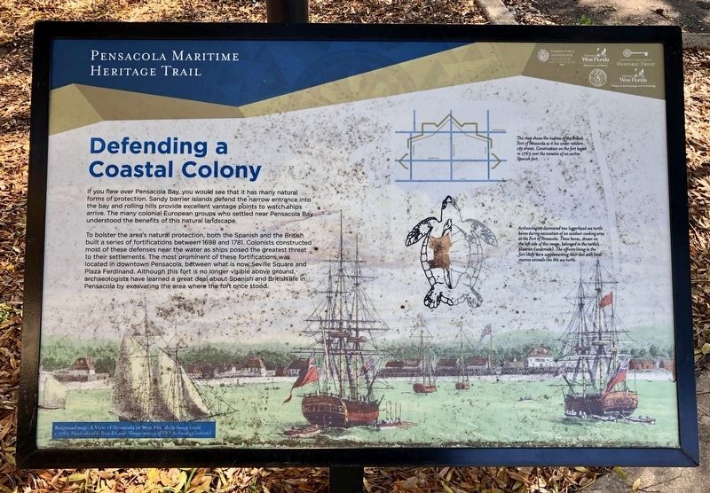
To bolster the area's natural protection, both the Spanish and the British built a series of fortifications between 1698 and 1781. Colonists constructed most of these defenses near the water as ships posed the greatest threat to their settlements. The most prominent of these fortifications was located in downtown Pensacola, between what is now, Seville Square and Plaza Ferdinand. Although this fort is no longer visible above ground, archaeologists have learned a great deal about Spanish and British life in Pensacola by excavating the area where the fort once stood.
Photo captions:
Background image: A View of Pensacola in West Florida by George Gauld, c. 1765. Hand colored by Dave Edwards. (Image courtesy of UWT Archaeology Institute)
Top right map: This map shows the outline of the British Fort of Pensacola as it lies under modern city streets. Construction on the fort began in 1763 over the remains of an earlier Spanish fort.
Middle right: Archaeologists discovered two loggerhead sea turtle bones during excavation of an outdoor cooking area at the Fort of Pensacola. These bones, shown on the left side of this image, belonged to the turtles plastron (underside). The officers living in the fort likely were supplementing their diet with local marine animals like this sea turtle.
Erected 2016 by the City of Pensacola and the University of West Florida Historic Trust. (Marker Number E.)
Topics. This historical marker is listed in these topic lists: Forts and Castles • Natural Features • Waterways & Vessels. A significant historical year for this entry is 1698.
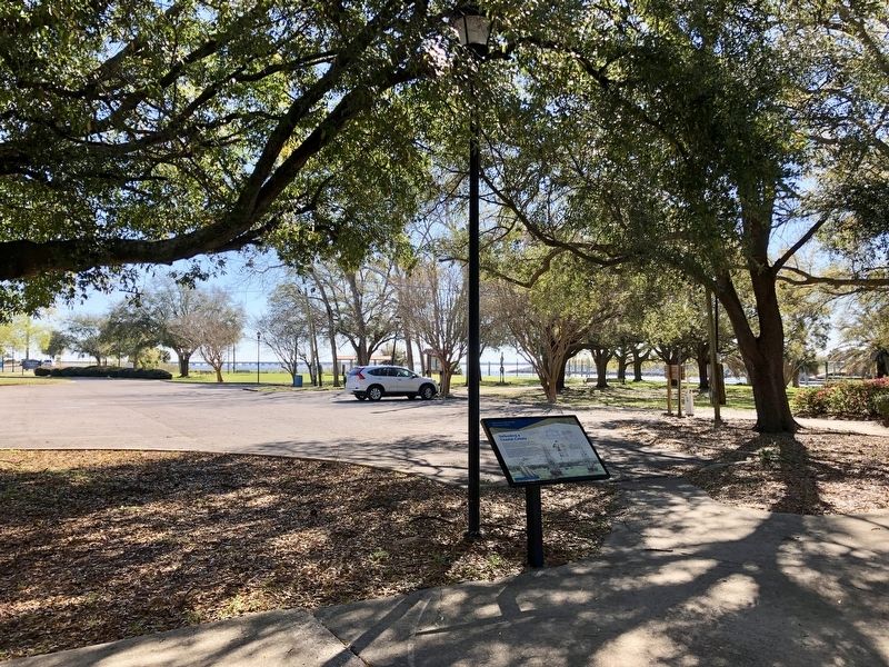
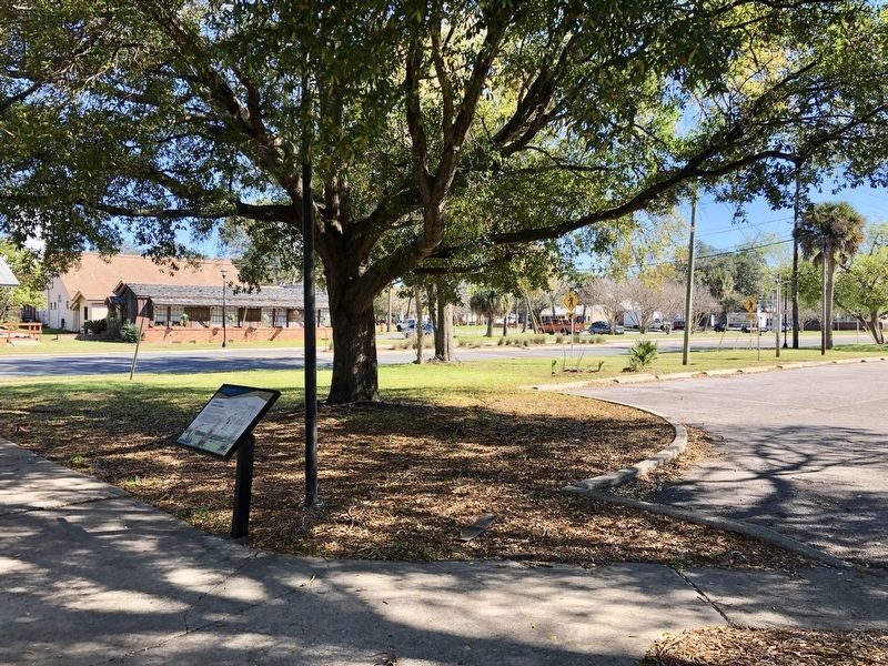
Location. 30° 24.483′ N, 87° 12.621′ W. Marker is in Pensacola, Florida, in Escambia County. Marker can be reached from East Main Street east of South Barracks Street, on the right when traveling east. On the East end of the Destination Archaeology Resource Center. Touch for map. Marker is at or near this postal address: 207 East Main Street, Pensacola FL 32502, United States of America. Touch for directions.
Other nearby markers. At least 8 other markers are within walking distance of this marker. Mooring Anchor (within shouting distance of this marker); De Soto Trail / A Port with Promise (within shouting distance of this marker); Piers, Ports and Wharves: A Look At Pensacola's Waterfront (within shouting distance of this marker); William Bartram Trail
(within shouting distance of this marker); Pioneer Planing Mills (within shouting distance of this marker); Old Christ Church (about 300 feet away, measured in a direct line); Supremacy, Siege and the Sea (about 300 feet away); British Governor's House? (about 300 feet away). Touch for a list and map of all markers in Pensacola.
Credits. This page was last revised on November 21, 2020. It was originally submitted on March 7, 2019, by Mark Hilton of Montgomery, Alabama. This page has been viewed 193 times since then and 12 times this year. Photos: 1, 2, 3. submitted on March 7, 2019, by Mark Hilton of Montgomery, Alabama.


