Pensacola in Escambia County, Florida — The American South (South Atlantic)
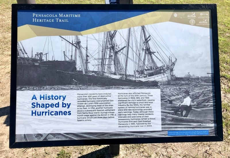
A History Shaped by Hurricanes
— Pensacola Maritime Heritage Trail —
Hurricanes also afflicted Pensacola at the turn of the 20th century. Three hurricanes in 1906, 1916, and 1926 shattered the city's waterfront, causing significant damage to ships and local industry. By the 1950s, the familiar system of naming hurricanes was in place and new technology provided early warnings. Today, although these warnings help many coastal residents evacuate and save some of their possessions, hurricanes remain a threat. Hurricanes Erin and Opal thrashed Pensacola in 1995, followed by the devastating Hurricane Ivan in 2004.
Photo caption:
Background image: A man views destruction along the Pensacola waterfront following the 1906 hurricane. (Image courtesy of the UWF Historic Trust.)
Erected 2016 by the City of Pensacola and the University of West Florida Historic Trust. (Marker Number H.)
Topics. This historical marker is listed in these topic lists: Disasters • Waterways & Vessels. A significant historical year for this entry is 1559.
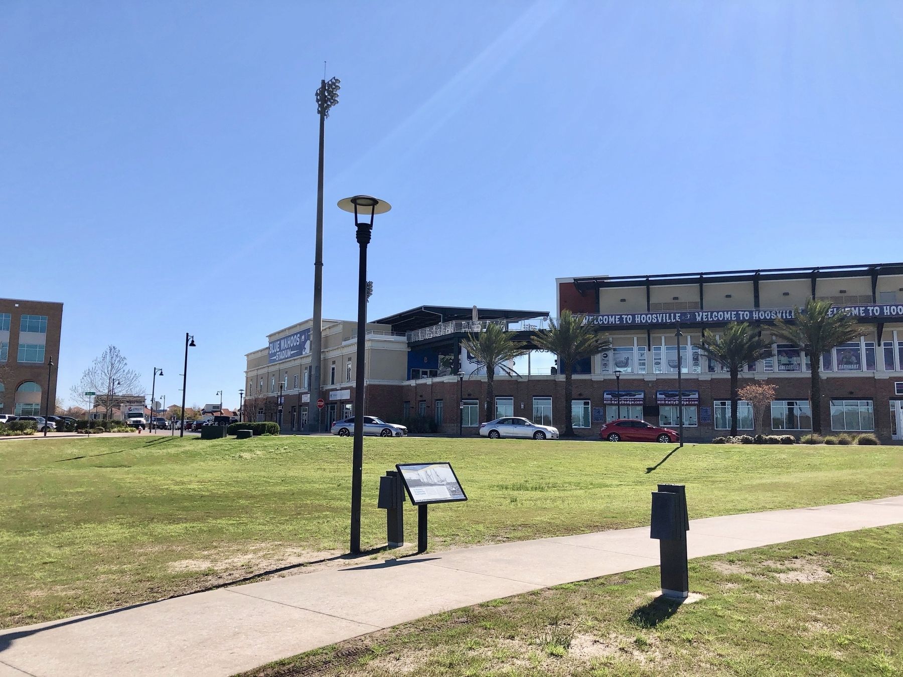
Location. 30° 24.305′ N, 87° 13.164′ W. Marker is in Pensacola, Florida, in Escambia County. Marker is at the intersection of West Cedar Street and South Reus Street, on the right when traveling west on West Cedar Street. Located between main parking lot and Blue Wahoos Stadium. Touch for map. Marker is at or near this postal address: 351 West Cedar Street, Pensacola FL 32502, United States of America. Touch for directions.
Other nearby markers. At least 8 other markers are within walking distance of this marker. "Gloucester of the Gulf" (about 300 feet away, measured in a direct line); Archaeology in a Maritime Community (about 700 feet away); Site of Panton Leslie & Co's (approx. 0.2 miles away); St. Joseph Catholic Church (approx. ¼ mile away); Trader Jon's (approx. 0.3 miles away); 407 South Palafox (approx. 0.4 miles away); Industry At Sea (approx. 0.4 miles away); A New Territory for the U.S. (approx. 0.4 miles away). Touch for a list and map of all markers in Pensacola.
Also see . . . Pensacola Florida's history with tropical systems. (Submitted on March 8, 2019, by Mark Hilton of Montgomery, Alabama.)
Credits. This page was last revised on October 9, 2020. It was originally submitted on March 8, 2019, by Mark Hilton of Montgomery, Alabama. This page has been viewed 393 times since then and 62 times this year. Photos: 1, 2. submitted on March 8, 2019, by Mark Hilton of Montgomery, Alabama.

