Oxford in Oxfordshire, England, United Kingdom — Northwestern Europe (the British Isles)
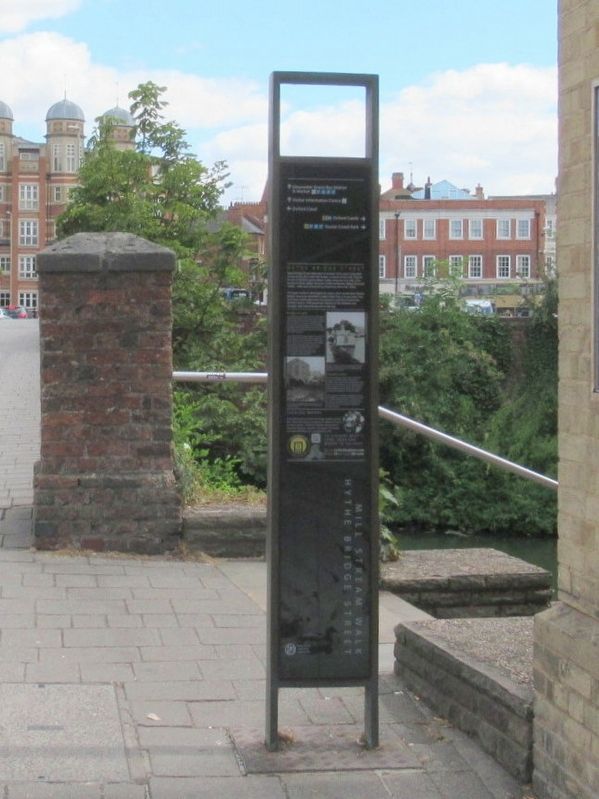
Hythe Bridge Street
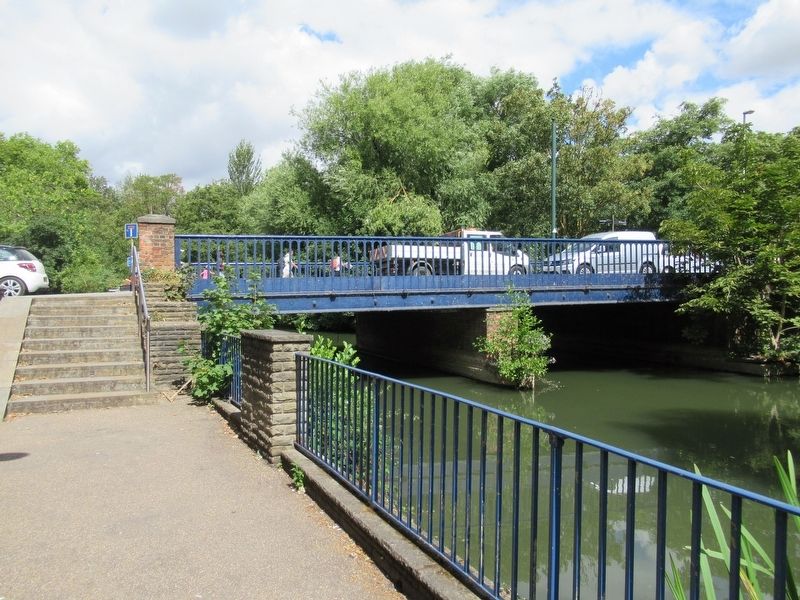
The name 'hythe' is Old English for wharf, and it recalls that Thames barges were once unloaded in Upper Fisher Row (to your left). The river was a vital trade artery for centuries and the arrival of the Oxford Canal in 1790 joined the Thames to the Midlands and brought rapid industrial growth to the city.
Bringing in the goods
A wharf north of Hythe Bridge is first mentioned in 1282 and boatloads of hay, wood, stone and slate from the upper Thames would have been unloaded here and carted into the city. The Oxford Canal brought coal and other goods from the Midlands. It passed beneath Hythe Bridge Street just beyond the bridge and terminated at wharves in Worcester Street and New Road.
The coming of the railways reduced river and canal traffic, and by the late 19th century houses had been built on the site of the wharf in Upper Fisher Row. In 1937 the car manufacturer, Lord Nuffield, purchased the canal basin site to build a new Oxford college. Nuffield College now stands where the New Road wharf used to be, and Worcester Street car park occupies the remainder of the canal basin.
A towpath to explore
A lively campaign saved the Oxford Canal from closure in the 1950s, and the towpath now provides endless opportunities for exploration (join it just over the bridge, on the left). Beyond a brick weir, you pass the site of the Boatmen's Floating Chapel (1839) which provided weekly religious services and schooling for boatmen's children.
It was replaced in 1869 by a building now used as the Bangkok House restaurant. Along the towpath you will find little gardens flourishing beside the houseboats while billowing horse chestnut trees on the right mark the boundary of Worcester College's gardens.
Crowded Waters
Castle Mill Stream runs below this bridge. Beside it is Fisher Row. The stream was once a highway for industry. All types of water workers - fishermen, boatmen and bargemen - lived here alongside carpenters and tanners. The stream fed Castle Mill where corn was ground for a fee.
( photo captions )
- Boatmen's Floating Chapel on the Oxford Canal. The Chapel provided a Sunday service for what the Bishop of Oxford described as 'that neglected and too often depraved class, the boatmen on your canals'.
- Looking across the abandoned canal to a warehouse, 1955. The site is being cleared to make way for the construction of Nuffield College.
Topics. This historical marker is listed in this topic list: Bridges & Viaducts. A significant historical year for this entry is 1233.
Location. 51° 45.205′ N, 1° 15.909′ W. Marker is in Oxford, England, in Oxfordshire. Marker is at the intersection of Hythe Bridge Street and Upper Fisher Row, on the right when traveling east on Hythe Bridge Street. Touch for map. Marker is in this post office area: Oxford, England OX1 2EW, United Kingdom. Touch for directions.
Other nearby markers. At least 8 other markers are within walking distance of this marker. Baptists of Oxford (within shouting distance of this marker); Park End Street (within shouting distance of this marker); New Road (about 120 meters away, measured in a direct line); Vaulted Well Chamber (about 210 meters away); Oxford Castle Timeline (about 210 meters away); Prison D Wing (about 240 meters away); The Perimeter Wall (about 240 meters away); Archaeology, the Castle Ditch (about 240 meters away). Touch for a list and map of all markers in Oxford.
Credits. This page was last revised on January 27, 2022. It was originally submitted on March 8, 2019, by Michael Herrick of Southbury, Connecticut. This page has been viewed 245 times since then and 24 times this year. Photos: 1, 2. submitted on March 8, 2019, by Michael Herrick of Southbury, Connecticut.

