Bloomingdale in Northwest Washington in Washington, District of Columbia — The American Northeast (Mid-Atlantic)
Bloomingdale
Worthy Ambition
— LeDroit Park/Bloomingdale Heritage Trail —
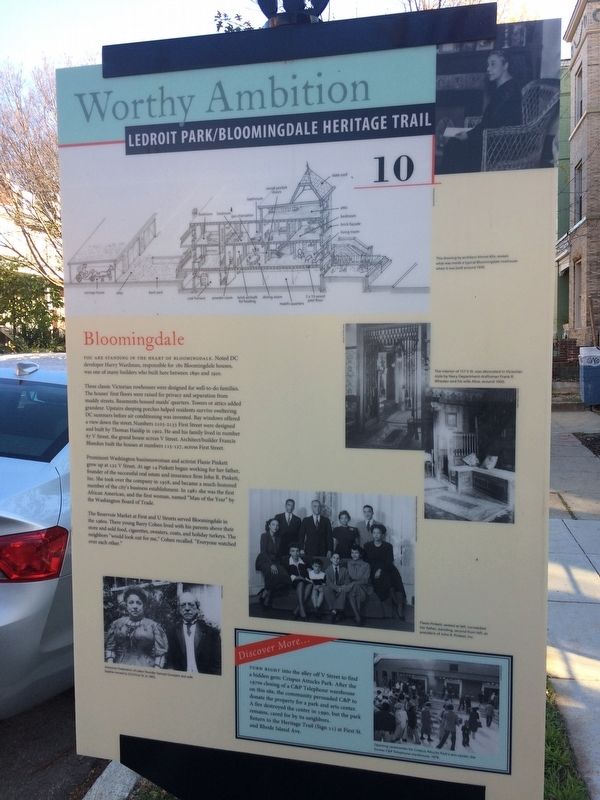
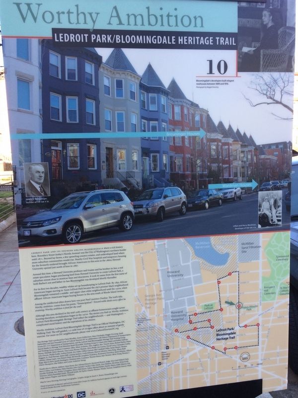
You are standing in the heart of Bloomingdale. Noted DC developer Harry Wardman, responsible for 180 Bloomingdale houses, was one of many builders who built here between 1890 and 1910.
These Victorian rowhouses were designed for well-to-do families. The houses' first floors were raised for privacy and separation from muddy streets. Basements housed maids' quarters. Towers or attics added grandeur. Upstairs sleeping porches helped residents survive sweltering DC summers before air conditioning was invented. Bay windows offered a view down the street. Numbers 2103-2133 First Street were designed and built by Thomas Haislip in 1902. He and his family lived in number 87 V Street, the grand house across V Street. Architect/builder Francis Blundon built the houses at numbers 115-127, across First Street.
Prominent Washington businessman and activist Flaxie Pinkett grew up at 122 V Street. At age 14 Pinkett began working for her father, founder of the successful real estate and insurance firm John R. Pinkett, Inc. She took over the company in 1958, and became a much-honored member of the city's business establishment. In 1981 she was the first African American, and the first woman, named "Man of the Year" by the Washington Board of Trade.
The Reservoir Market at First and U Streets served Bloomingdale in the 1960s. There young Barry Cohen lived with his parents above their store and sold food, cigarettes, sweaters, coats, and holiday turkeys. The neighbors "would look out for me," Cohen recalled. Everyone watched over each other."
Discover More…
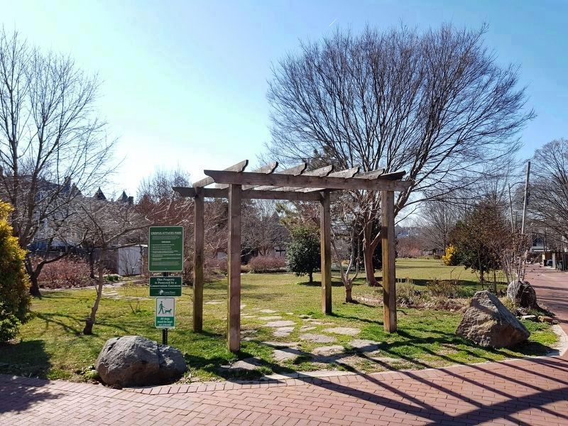
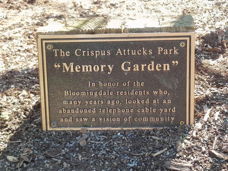
Turn right into the alley off V Street to find a hidden gem: Crispus Attucks Park. After the 1970s closing of a C&P Telephone warehouse on this site, the community persuaded C&P to donate the property for a park and arts center. A fire destroyed the center in 1990, but the park remains, cared for by its neighbors. Return to the Heritage Trail (Sign 11) at First St. and Rhode Island Ave.
Erected 2015 by Cultural Tourism DC. (Marker Number 10.)
Topics and series. This historical marker is listed in these topic lists: African Americans • Architecture • Industry & Commerce • Women. In addition, it is included in the LeDroit Park/Bloomingdale Heritage Trail series list. A significant historical year for this entry is 1890.
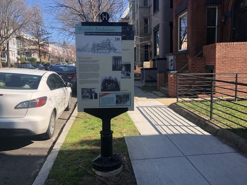
Location. 38° 55.083′ N, 77° 0.71′ W. Marker is in Northwest Washington in Washington, District of Columbia. It is in Bloomingdale. Marker is at the intersection of V Street Northwest and 1st Street Northwest, on the right when traveling east on V Street
Other nearby markers. At least 8 other markers are within walking distance of this marker. Separate Schools (about 800 feet away, measured in a direct line); Dividing Line (approx. 0.2 miles away); Prospect Hill (approx. 0.2 miles away); DC and the Development of the International Bear Brotherhood Flag (approx. 0.2 miles away); Anna Julia Hayward Cooper Residence (approx. 0.2 miles away); Fathers and Sons (approx. 0.2 miles away); Court Nullifies Racial Covenants (approx. ¼ mile away); Water for the City (approx. ¼ mile away). Touch for a list and map of all markers in Northwest Washington.
Also see . . . Crispus Attucks Park. (Submitted on November 23, 2017, by Devry Becker Jones of Washington, District of Columbia.)
Credits. This page was last revised on January 30, 2023. It was originally submitted on November 23, 2017, by Devry Becker Jones of Washington, District of Columbia. This page has been viewed 308 times since then and 27 times this year. Last updated on March 8, 2019, by Devry Becker Jones of Washington, District of Columbia. Photos: 1, 2. submitted on November 23, 2017, by Devry Becker Jones of Washington, District of Columbia. 3. submitted on February 22, 2020, by Devry Becker Jones of Washington, District of Columbia. 4, 5. submitted on March 15, 2020, by J. Makali Bruton of Accra, Ghana. • Bill Pfingsten was the editor who published this page.
