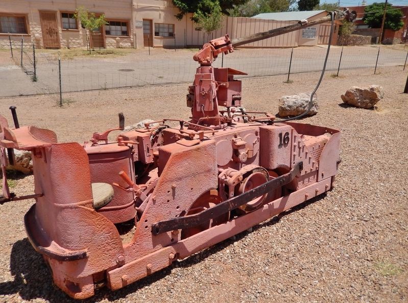
Tombstone in Cochise County, Arizona — The American Mountains (Southwest)
The Mines of Tombstone
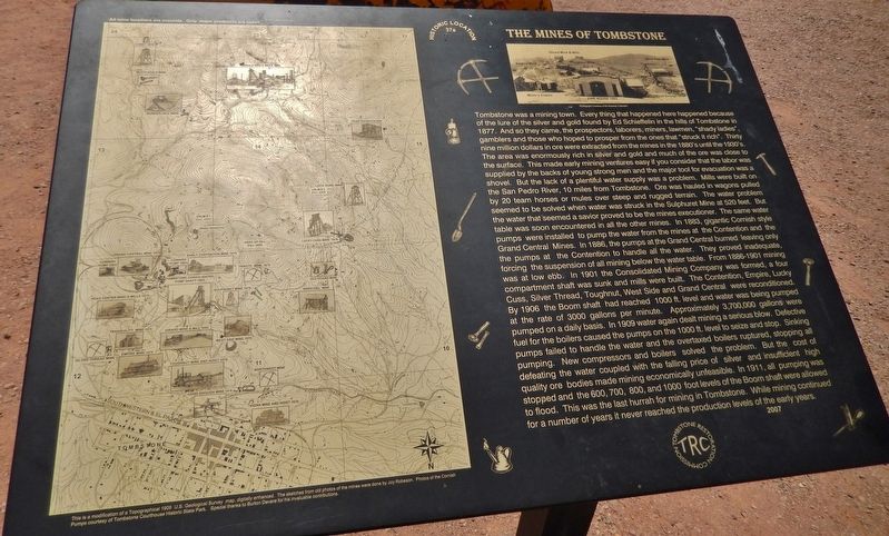
Tombstone was a mining town. Everything that happened here happened because of the lure of the silver and gold found by Ed Schieffelin in the hills of Tombstone in 1877. And so they came, the prospectors, laborers, miners, lawmen, “shady ladies,” gamblers and those who hoped to prosper from the ones that “struck it rich.” Thirty nine million dollars in ore were extracted from the mines in the 1880’s until the 1930’s. The area was enormously rich in silver and gold and much of the ore was close to the surface. This made early mining ventures easy if you consider that the labor was supplied by the backs of young strong men and the major tool for evacuation was a shovel.
But the lack of a plentiful water supply was a problem. Mills were built on the San Pedro River, 10 miles from Tombstone. Ore was hauled in wagons pulled by 20 team horses or mules over steep and rugged terrain. The water problem seemed to be solved when water was struck in the Sulphuret Mine at 520 feet. But the water that seemed a savior proved to be the mines (sic) executioner. The same water table was soon encountered in all the other mines. In 1883, gigantic Cornish style pumps were installed to pump the water from the mines at the Contention and the Grand Central Mines. In 1886, the pumps at the Grand Central burned leaving only the pumps at the Contention to handle all the water. They proved inadequate, forcing the suspension of all mining below the water table. From 1886-1901 mining was at low ebb. In 1901 the Consolidated Mining Company was formed, a four compartment shaft was sunk and mills were built. The Contention, Empire, Lucky Cuss, Silver Thread, Toughnut, West Side and Grand Central were reconditioned. By 1906 the Boom shaft had reached 1000 ft. level and water was being pumped at the rate of 3000 gallons per minute. Approximately 3,700,000 gallons were pumped on a daily basis. In 1909 water again dealt mining a serious blow. Defective fuel for the boilers caused the pumps on the 1000 ft. level to seize and stop. Sinking pumps failed to handle the water and the overtaxed boilers ruptured, stopping all pumping. New compressors and boilers solved the problem, but the cost of defeating the water coupled with the falling price of silver and insufficient high quality ore bodies made mining economically unfeasible. In 1911, all pumping was stopped and the 600, 700, 800, and 1000 foot levels of the Boom shaft were allowed to flood. This was the last hurrah for mining in Tombstone. While mining continued for a number of years it never reached the production levels of the early years.
Erected 2007 by Tombstone Restoration Commission. (Marker Number 37a.)
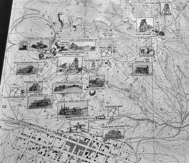
2. Marker detail: Tombstone Mines Map (from left side of marker)
This is a modification of a Topographical 1908 U.S. Geological Survey map, digitally enhanced. The sketches from old photos of the mines were done by Joy Robeson. Photos of the Cornish Pumps courtesy of Tombstone Courthouse Historic State Park. Special thanks to Burton Devere for his invaluable contributions.
Topics. This historical marker is listed in these topic lists: Industry & Commerce • Natural Resources • Settlements & Settlers. A significant historical year for this entry is 1877.
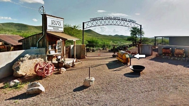
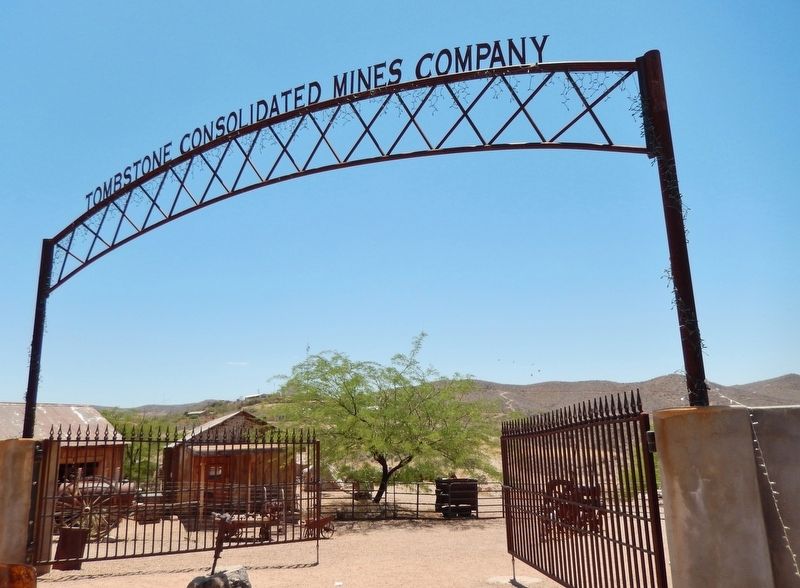
Location. 31° 42.689′ N, 110° 3.989′ W. Marker is in Tombstone, Arizona, in Cochise County. Marker is at the intersection of East Toughnut Street and South 5th Street, on the left when traveling west on East Toughnut Street. Marker is located at the Tombstone Consolidated Mines Company entrance. Touch for map. Marker is at or near this postal address: 435 East Toughnut Street, Tombstone AZ 85638, United States of America. Touch for directions.
Other nearby markers. At least 8 other markers are within walking distance of this marker. Million Dollar Stope (a few steps from this marker); Tombstone Engine Co. No. 1 (within shouting distance of this marker); City Marshall Virgil Earp (about 300 feet away, measured in a direct line); Owl Cafe and Tourist Hotel (about 300 feet away); Southern Pacific Train Depot (about 300 feet away); Rose Tree (about 300 feet away); The Grand Hotel (about 400 feet away); The Oriental Saloon (about 400 feet away). Touch for a list and map of all markers in Tombstone.
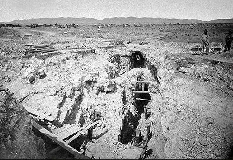
via Arizona Mining History, unknown
7. Toughnut / Good Enough Mine - Cochise County
Arizona Mining History website entry
Click for more information.
Click for more information.
Credits. This page was last revised on December 3, 2021. It was originally submitted on March 15, 2019, by Cosmos Mariner of Cape Canaveral, Florida. This page has been viewed 1,425 times since then and 218 times this year. Photos: 1, 2, 3, 4. submitted on March 15, 2019, by Cosmos Mariner of Cape Canaveral, Florida. 5, 6. submitted on March 16, 2019, by Cosmos Mariner of Cape Canaveral, Florida. 7. submitted on December 3, 2021, by Larry Gertner of New York, New York.
