Pittsville in Wood County, Wisconsin — The American Midwest (Great Lakes)
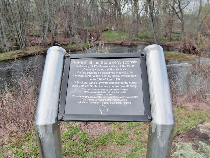
Center of the State of Wisconsin
of the Wisconsin Society of Land Surveyors
Erected July, 1987
Wayside construction donated by: Cedar Corporation, Marshfield;
Dale Decker Surveying; Esser Trucking, Arpin;
Mid-State Associates; People's State Bank, Pittsville
Erected 1987 by the Central Chapter of the Wisconsin Society of Land Surveyors.
Topics. This historical marker is listed in this topic list: Landmarks. A significant historical date for this entry is June 27, 1952.
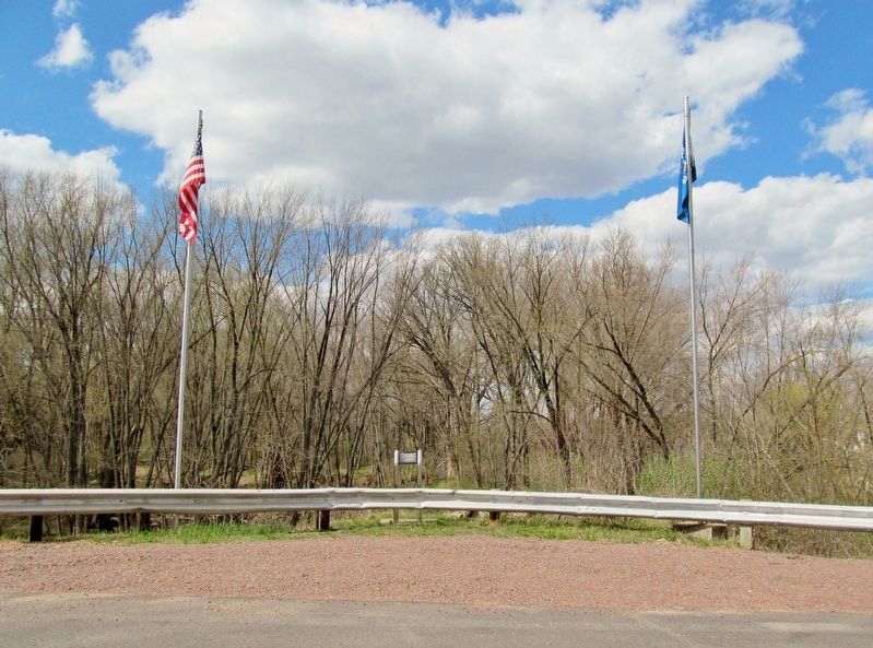
Location. 44° 26.272′ N, 90° 7.81′ W. Marker is in Pittsville, Wisconsin, in Wood County. Marker is on Veedum Street (County Highway E) 0.1 miles west of 2nd Avenue (State Highway 80), on the right when traveling west. Marker is at a highway pull-off overlooking the Yellow River. Touch for map. Marker is in this post office area: Pittsville WI 54466, United States of America. Touch for directions.
Other nearby markers. At least 8 other markers are within 10 miles of this marker, measured as the crow flies. City Founders’ Cemetery (approx. 0.3 miles away); Indian Bill Cemetery (approx. 6.8 miles away); Indian Dance Rings (approx. 6.9 miles away); Gallagher Foundation (approx. 6.9 miles away); Geological History of Powers Bluff (approx. 7 miles away); Powers Bluff (approx. 7 miles away); Wallace B. Grange (approx. 7.4 miles away); Babcock (approx. 9˝ miles away).
Additional keywords. Wisconsin geographical center
Credits. This page was last revised on March 20, 2019. It was originally submitted on March 20, 2019, by Keith L of Wisconsin Rapids, Wisconsin. This page has been viewed 376 times since then and 46 times this year. Photos: 1, 2, 3. submitted on March 20, 2019, by Keith L of Wisconsin Rapids, Wisconsin.


