Gardner in Johnson County, Kansas — The American Midwest (Upper Plains)
From Prairie Schooners to Locomotives
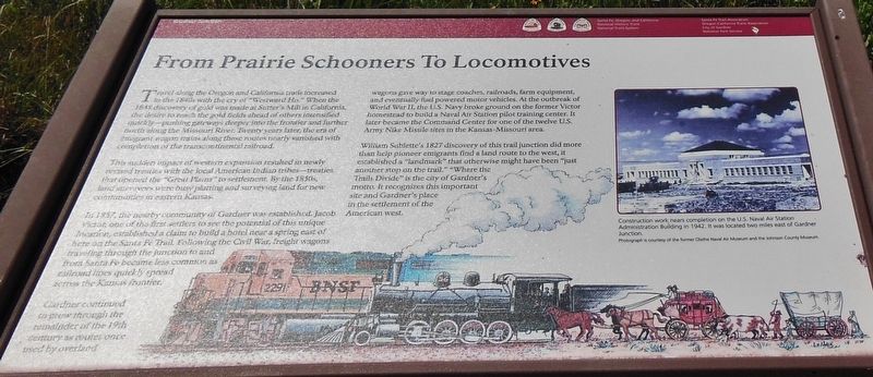
The sudden impact of western expansion resulted in newly revised treaties with the local American Indian tribes – treaties that opened the “Great Plains” to settlement. By the 1850s, land surveyors were busy platting and surveying land for new communities in eastern Kansas.
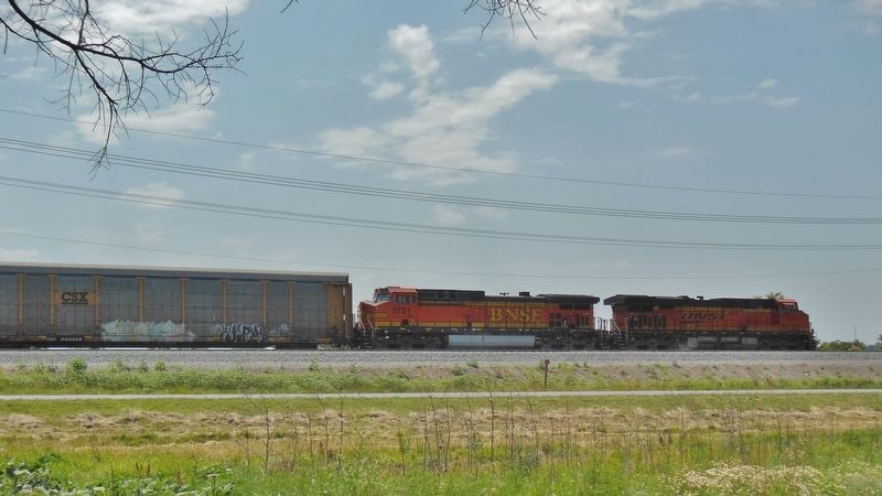
In 1857, the nearby community of Gardener was established. Jacob Victor, one of the first settlers to see the potential of this unique location, established a claim to build a hotel near a spring east of here on the Santa Fe Trail. Following the Civil War, freight wagons traveling through the junction to and from Santa Fe became less common as railroad lines quickly spread across the Kansas frontier.
Gardner continued to grow through the remainder of the 19th century as routes once used by overland wagons gave way to stage coaches, railroads, farm equipment, and eventually fuel powered motor vehicles. At the outbreak of World War II, the U.S. Navy broke ground on the former Victor homestead to build a Naval Air Station pilot training center. It later became the Command Center for one of the twelve U.S. Army Nike Missile sites in the Kansas-Missouri area.
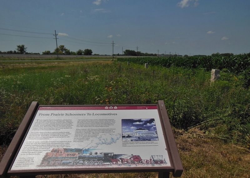
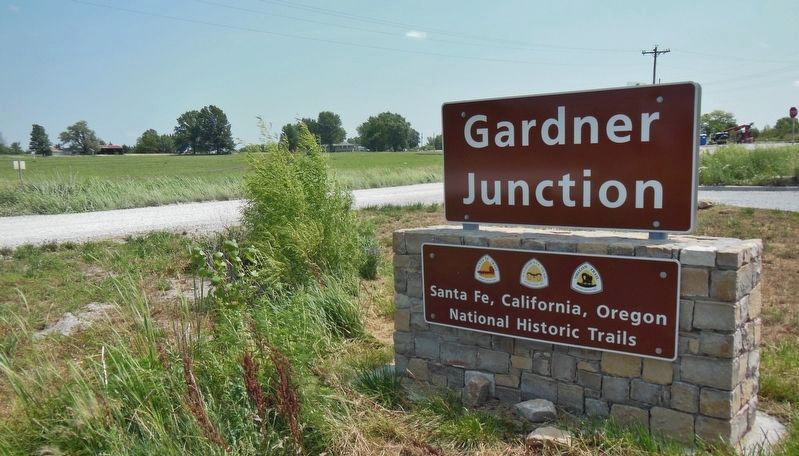
William Sublette’s 1827 discovery of this trail junction did more than help pioneer emigrants find a land route to the west, it established a "landmark" that otherwise might have been "just another stop on the trail." "Where the Trails Divide" is the city of Gardner's motto. It recognizes this important site and Gardner's place in the settlement of the American west.
Santa Fe, Oregon and California National Historic Trails, National Trail System, Santa Fe Trail Association, Oregon California Trails Association, City of Gardner and National Park Service
Erected by Santa Fe, Oregon and California National Historic Trails, City of Gardner and National Park Service.
Topics and series. This historical marker is listed in these topic lists: Native Americans • Railroads & Streetcars • Roads & Vehicles • Settlements & Settlers. In addition, it is included in the California Trail, the Oregon Trail, and the Santa Fe Trail series lists. A significant historical year for this entry is 1848.
Location.
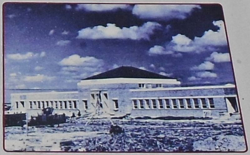
Courtesy of former Olathe Naval Air Museum and Johnson County Museum
2. Marker detail: U.S. Naval Air Station Administration Building in 1942
Construction work nears completion on U.S. Naval Air Station Administration Building in 1942. It was located two miles east of Gardner. [Photograph is courtesy of the former Olathe Naval Air Museum and the Johnson County Museum]
Other nearby markers. At least 8 other markers are within 2 miles of this marker, measured as the crow flies. Apprehension and Conflict (here, next to this marker); Following Their Dreams (within shouting distance of this marker); Eye of the Needle (within shouting distance of this marker); A Look Back in Time (within shouting distance of this marker); a different marker also named A Look Back in Time (within shouting distance of this marker); a different marker also named A Look Back in Time (within shouting distance of this marker); Overland Trails (approx. 2 miles away); The Herman B. Foster Home (approx. 2 miles away). Touch for a list and map of all markers in Gardner.
Also see . . . Gardner, Kansas (Wikipedia). Gardner was founded where the Santa Fe Trail and the Oregon/California Trails divided. The Santa Fe Trail sent travelers southwest through Sante Fe and Albuquerque toward Los Angeles and San Diego. The Oregon/California Trails bore west for a few miles before
turning north toward the Kansas River valley, followed the Big Blue River into present-day Nebraska, followed the Platte River west, and ultimately split in present-day Wyoming, Idaho or Utah. (Submitted on September 12, 2020, by Cosmos Mariner of Cape Canaveral, Florida.)
Credits. This page was last revised on September 12, 2020. It was originally submitted on March 22, 2019, by Cosmos Mariner of Cape Canaveral, Florida. This page has been viewed 396 times since then and 36 times this year. Photos: 1, 2, 3, 4, 5. submitted on March 23, 2019, by Cosmos Mariner of Cape Canaveral, Florida.
