Clemson in Pickens County, South Carolina — The American South (South Atlantic)
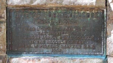
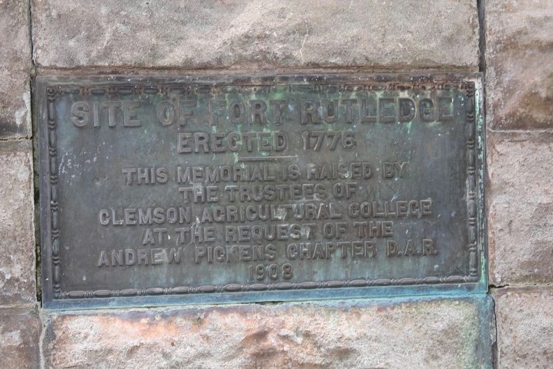
Site of Fort Rutledge
Erected 1776
Erected 1908 by Trustees of Clemson Agricultural College at the Request of the Andrew Pickens Chapter Daughters of the American Revolution (DAR).
Topics and series. This historical marker is listed in these topic lists: Colonial Era • Forts and Castles • War, US Revolutionary. In addition, it is included in the Daughters of the American Revolution series list. A significant historical year for this entry is 1776.
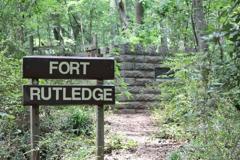
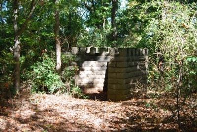
Location. 34° 40.133′ N, 82° 51.033′ W. Marker is in Clemson, South Carolina, in Pickens County. Marker can be reached from Lake Drive, half a mile west of Seasons Drive, on the right when traveling west. Marker is located on a replica of the fort north of the Clemson Pumping Station, approximately 50 yards into the woods. Touch for map. Marker is in this post office area: Clemson SC 29634, United States of America. Touch for directions.
Other nearby markers. At least 10 other markers are within walking distance of this marker. The Battle of Seneca Town / Fort Rutledge (approx. 0.3 miles away); Cherokee Town of Esseneca (approx. half a mile away); Asbury F. Lever (approx. 0.7 miles away); Calhoun Plantation Cemetery (approx. 0.7 miles away); Woodland Cemetery Clemson University / Fort Hill Slave and Convict Cemetery (approx. ¾ mile away); Fort Hill Slave Quarters / Clemson College Convict Stockade (approx. 0.8 miles away); Howard's Rock (approx. 0.8 miles away); William Maxwell Poe Plaza (approx. 0.8 miles away); Memorial Park / The Scroll of Honor (approx. 0.9 miles away); Sirrine Hall (approx. 0.9 miles away). Touch for a list and map of all markers in Clemson.
Regarding Site of Fort Rutledge. The fort was erected in 1776 by Patriot troops under the command of General Andrew Williamson. He was battling Cherokee allied with the British. The exact location of Fort Ruthledge is unknown. Some say it is under the waters of Lake Hartwell. Others argue that it where Tillman Hall now stands. The drive to the fort is especially beautiful. The road crosses a dyke over the lake and features a clear view of the waters and shoreline of Oconee County in the distance. It was this fort that provided John C. Calhoun the inspiration to name his nearby plantation Fort Hill.
Related marker. Click here for another marker that is related to this marker. The Battle of Seneca Town / Fort Rutledge
Additional commentary.
1. Battle of Esseneca
Date: August 1, 1776
Location: Seneca Old Town, Pickens County
Commanders: Mar. Andrew Williamson, Col. LeRoy Hammond; Alexander Cameron
Casualties: American - 3k, 14w
In the early days of the war, the terms "Indian troubles" and "civil war" took on whole new meanings as Patriots and Loyalists each vied for the allegiance of the Cherokees. At Lindley's Fort, while Loyalists, dressed and painted as Indians, fought alongside the Cherokee in an attack against Patriot soldiers and settlers. Maj. Andrew Williamson, who had been in command of the Patriots at Ninety Six, planned an attack on Alexander Cameron, the British Indian agent who was camped on Onconore creek, but the Indians were waiting for Williamson and his men as they crossed the Keowee River at Esseneca. Positioning his forces in houses and behind fences and trees, Cameron caught the Patriots by surprise and was easily able to rout them. Major Williamson's horse was shot out from under him, but the day was saved by Col. LeRoy Hammond, who rallied about 20 men and ordered them to charge the fence where the heaviest fire was coming from. The Indians were so startled by the sudden turn of events that they dropped their arms and fled into the woods. after the battle, numerous Indian towns on the frontier fell to the Patriot forces stationed at Fort Rutledge. (Source: South Carolina's Revolutionary War Battlefields: A Tour Guide (2002), R.L. Barbour, pages 20-21)
— Submitted November 14, 2008, by Brian Scott of Anderson, South Carolina.
Credits. This page was last revised on May 25, 2023. It was originally submitted on October 31, 2008, by Brian Scott of Anderson, South Carolina. This page has been viewed 5,921 times since then and 161 times this year. Photos: 1. submitted on October 31, 2008, by Brian Scott of Anderson, South Carolina. 2, 3. submitted on July 13, 2011, by David Bullard of Seneca, South Carolina. 4. submitted on October 31, 2008, by Brian Scott of Anderson, South Carolina.


