Civic Center in Manhattan in New York County, New York — The American Northeast (Mid-Atlantic)
Collect Pond Park
.994 acre
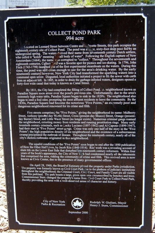
Located on Leonard Street between Centre and Lafayette Streets, this park occupies the eighteenth century site of Collect Pond. The pond was a large, 60-foot deep pool fed by an underground spring. The waters derived their name from seventeenth century Dutch settlers, who called it “kolch” meaning “small body of water”. Following the English capture of New Amsterdam (1664), the name was corrupted to “collect”. Throughout the seventeenth and eighteenth centuries, Collect Pond was a favorite spot for picnics and ice-skating. In 1796, John Finch (1743-1798) launched one of the first experimental steamboats on the waters. During this time, the pond was still clean enough to use for the area’s drinking water. By the early nineteenth century, however, New York City had transformed the sparkling waters into a communal open sewer. Disgusted, local authorities initiated a project to fill the sewer with earth from an adjacent hill. In 1805, in order to drain the garbage-infested waters, designers opened a forty-foot wide canal that today is known as Canal Street.
By 1811, the City had completed the filling of Collect Pond. A neighbor known as Paradise Square soon arose over the pond’s previous site. Unfortunately, due to the area’s extremely high water table, Paradise Square began to sink in the 1820’s. The neighborhood also began to emit a foul odor, prompting the most affluent residents to leave the community. By the 1830’s, Paradise Square had become the notorious “Five Points”. an extremely poor and dangerous neighborhood renowned for its crime and filth.
Five streets comprised the “Five Points”, giving the neighborhood its name: Mulberry Street, Anthony (present-day Worth Street, Cross (present-day Mosco) Street, Orange (present-day Baxter) Street, and Little Water Street (no longer exists). Numerous criminal gangs roamed the neighborhood, extorting money from residents and running prostitution rings. Many early twentieth century criminals, such as Lucky Luciano (1897-1962) and Al Capone (1899-1947), had their start in “Five Points” street gangs. Crime was only one half of the story in the “Five Points”: the high population density of the neighborhood and the existence of a subterranean swamp precipitated the outbreak of disease. Throughout the nineteenth century, nearly all of the city’s cholera outbreaks originated in the neighborhood.
The squalid conditions of the “Five Points” soon began to end after the 1890 publication of How the Other Half Lives, by Jacob Riis (1849-1914). Riis’ work was a revealing account of slum life on the Lower East Side that disturbed late-nineteenth century reformers. Within four years of the book’s appearance, the City of New York had condemned nearly
all the tenements that comprised the area, ridding the community of crime and filth. The revived area is now known as the Civic Center, due to the presence of many governmental offices.
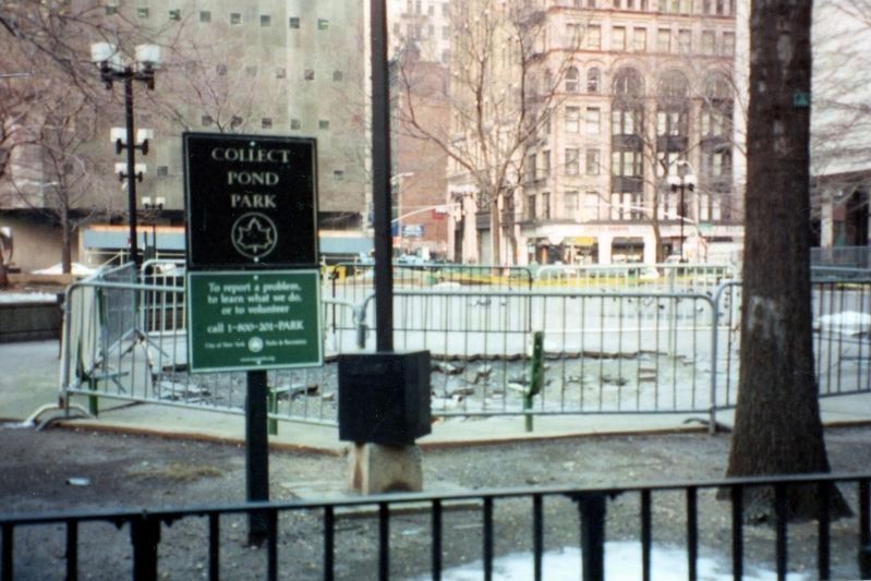
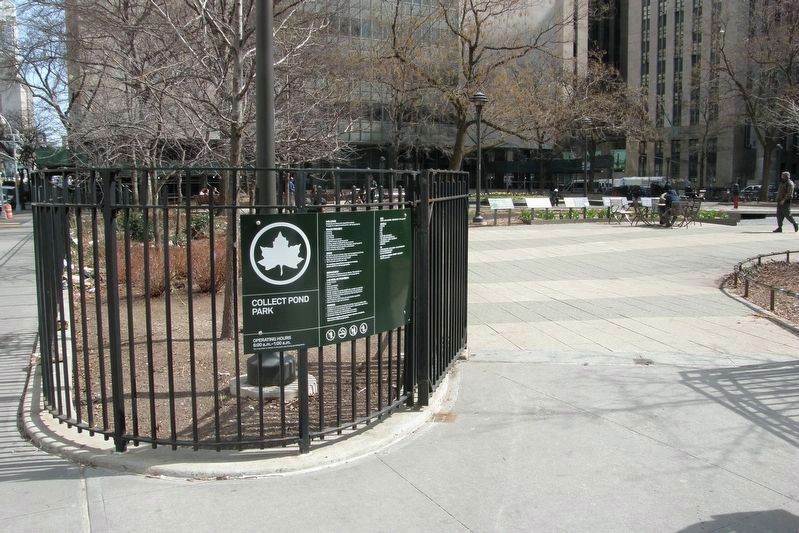
On April 28, 1960, the Board of Estimate placed the property under Parks jurisdiction. The property was formerly known as Civic Court Park due to the plethora of judiciary institutions throughout the neighborhood; the Criminal Court, Civil Court, and Family Court are all visible from this parkland. The park boasts a large, green open area circumscribed by benches and trees. Commissioner Stern changed the property’s name from Civil Court Park to Collect Pond Park, thereby providing the area with a well-deserved sense of character and history.
Erected 2000 by City of New York Parks and Recreation (NYC Parks).
Topics and series. This historical marker is listed in these topic lists: Colonial Era • Parks & Recreational Areas • Settlements & Settlers. In addition, it is included in the NYC Parks series list. A significant historical date for this entry is April 28, 1960.
Location. Marker has been reported missing. It was located near 40° 42.953′ N, 74° 0.102′ W. Marker was in Manhattan, New York, in New York County. It was in Civic Center. Marker was on
Centre Street near Leonard Street, on the left when traveling north. Touch for map. Marker was in this post office area: New York NY 10013, United States of America. Touch for directions.
Other nearby markers. At least 8 other markers are within walking distance of this location. From Collect Pond To Park (within shouting distance of this marker); The Legendary Collect Pond (within shouting distance of this marker); Death of the Collect Pond (within shouting distance of this marker); Collect Pond and the City (within shouting distance of this marker); Collect Pond Before The City (within shouting distance of this marker); Foley Square Before 1600 (about 400 feet away, measured in a direct line); Abraham De Peyster (about 400 feet away); Foley Square c. 1880 (about 400 feet away). Touch for a list and map of all markers in Manhattan.
Regarding Collect Pond Park. Despite the rosy description of the park, it was best known as an asphalt hangout for vagrants who would offer to make sure your car in the adjacent street parking suffered no damage while it was there – for a fee, of course.
Credits. This page was last revised on July 25, 2023. It was originally submitted on March 11, 2019, by Larry Gertner of New York, New York. This page has been viewed 242 times since then and 23 times this year. Last updated on April 4, 2019, by Larry Gertner of New York, New York. Photos: 1, 2. submitted on March 11, 2019, by Larry Gertner of New York, New York. 3. submitted on April 4, 2019, by Larry Gertner of New York, New York. • Andrew Ruppenstein was the editor who published this page.


