Civic Center in Manhattan in New York County, New York — The American Northeast (Mid-Atlantic)
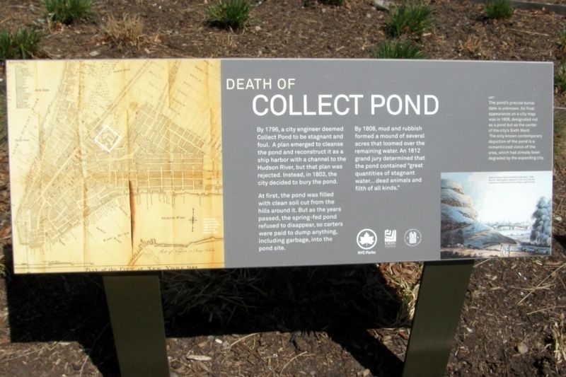
Death of the Collect Pond
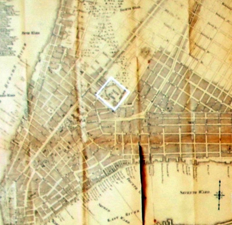
By 1796, a city engineer deemed Collect Pond to be stagnant and foul. A plan emerged to cleanse the pond and reconstruct it as a ship harbor with a channel to the Hudson River, but that plan was rejected. Instead, in 1803, the city decided to bury the pond.
At first, the pond was filled with clean soil cut from the hills around it. But as the years passed, the spring-fed pond refused to disappear, so carters were paid to dump anything, including garbage, into the pond site.
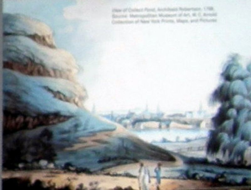
By 1808, mud and rubbish formed a mound of several acres that loomed over the remaining water. An 1812 grand jury determined that the pond contained “great quantities of stagnant water…dead animals and filth of all kinds.”
Erected by NYC Parks.
Topics. This historical marker is listed in these topic lists: Man-Made Features • Parks & Recreational Areas. A significant historical year for this entry is 1796.
Location. 40° 42.979′ N, 74° 0.122′ W. Marker is in Manhattan, New York, in New York County. It is in Civic Center. Marker is on Lafayette Street near Leonard Street, on the left when traveling south. Touch for map. Marker is in this post office area: New York NY 10013, United States of America. Touch for directions.
Other nearby markers. At least 8 other markers are within walking distance of this marker. Collect Pond and the City (here, next to this marker); The Legendary Collect Pond (here, next to this marker); Collect Pond Before The City (here, next to this marker); From Collect Pond To Park (here, next to this marker); Abraham De Peyster (about 400 feet away, measured in a direct line); Engine Company 31 (about 400 feet away); The Jerry and Maria McAuley Center (about 400 feet away); The Mudd Club, 1978-1981 (about 500 feet away). Touch for a list and map of all markers in Manhattan.
Credits. This page was last revised on January 31, 2023. It was originally submitted on April 6, 2019, by Larry Gertner of New York, New York. This page has been viewed 190 times since then and 23 times this year. Photos: 1, 2, 3, 4. submitted on April 6, 2019, by Larry Gertner of New York, New York. • Bill Pfingsten was the editor who published this page.


