Mobile in Mobile County, Alabama — The American South (East South Central)
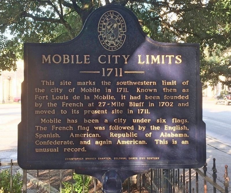
Mobile City Limits
— 1711 —
Erected by Christopher Branch Chapter, Colonial Dames XVII Century.
Topics and series. This historical marker is listed in these topic lists: Political Subdivisions • Settlements & Settlers. In addition, it is included in the The Colonial Dames XVII Century, National Society series list. A significant historical year for this entry is 1711.
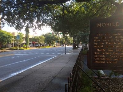
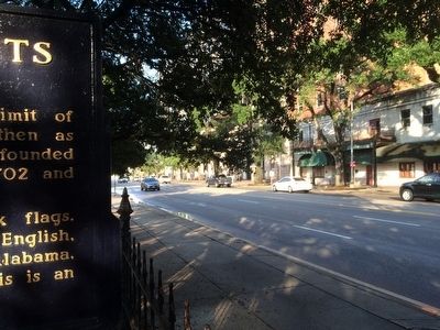
Location. 30° 41.363′ N, 88° 2.629′ W. Marker is in Mobile, Alabama, in Mobile County. Marker is at the intersection of Government Street (U.S. 98) and South Jackson Street, on the right when traveling west on Government Street. Located inside fence of parking lot under trees. Touch for map. Marker is at or near this postal address: Government Street, Mobile AL 36602, United States of America. Touch for directions.
Other nearby markers. At least 8 other markers are within walking distance of this marker. Government Street Presbyterian Church (within shouting distance of this marker); Le Marquis de Lafayette visited Mobile (within shouting distance of this marker); WALA-TV, Channel 10 (within shouting distance of this marker); On this Spot Woodrow Wilson Said: (about 400 feet away, measured in a direct line); Wallace Turnage (about 400 feet away); Portier House (about 400 feet away); Nicola Marschall Residence (about 500 feet away); Saenger Theatre (about 500 feet away). Touch for a list and map of all markers in Mobile.
Related markers. Click here for a list of markers that are related to this marker.
Credits. This page was last revised on February 27, 2020. It was originally submitted on July 27, 2015, by Mark Hilton of Montgomery, Alabama. This page has been viewed 686 times since then and 59 times this year. Last updated on April 8, 2019, by Steve Smith of Chapel Hill, North Carolina. Photos: 1. submitted on April 8, 2019, by Mark Hilton of Montgomery, Alabama. 2, 3. submitted on July 27, 2015, by Mark Hilton of Montgomery, Alabama.


