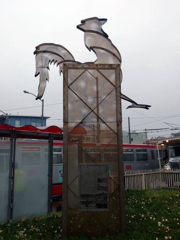
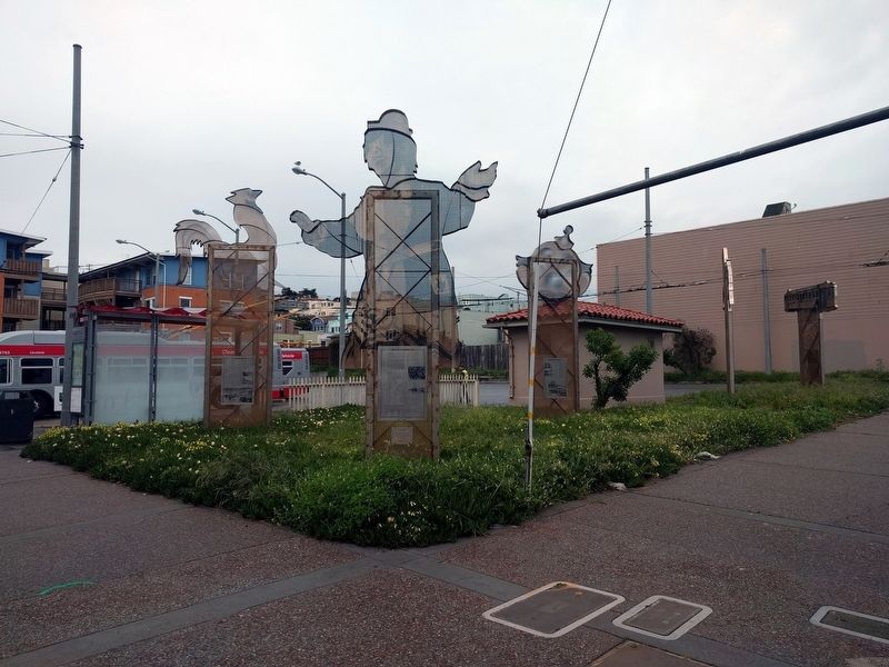
Outer Richmond in San Francisco City and County, California — The American West (Pacific Coastal)
The City at Play
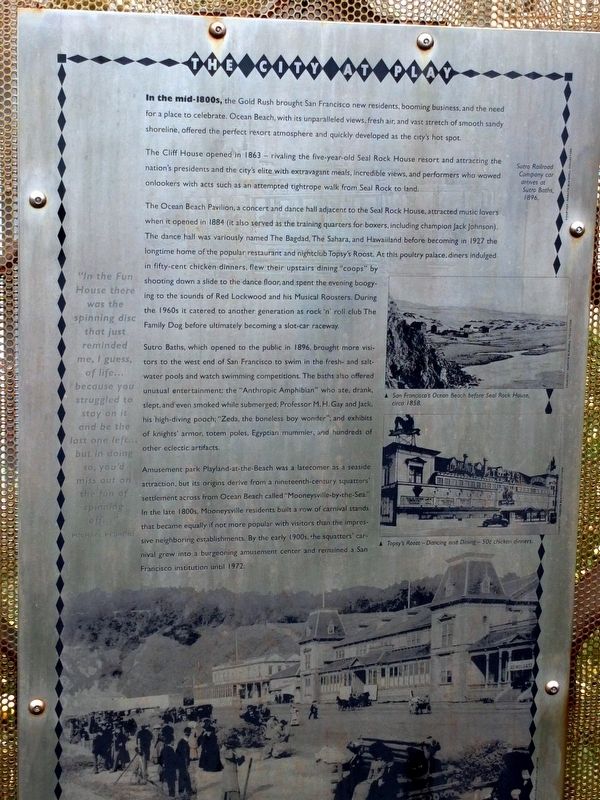
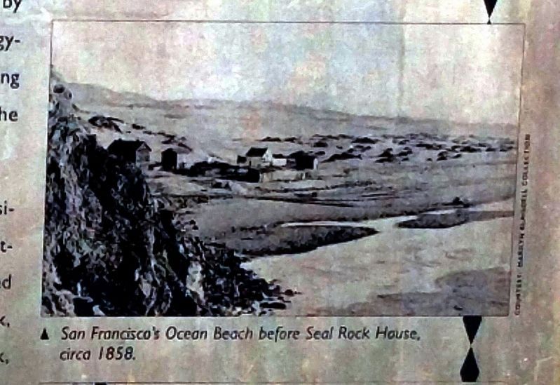
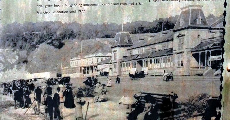
In the mid-1800s, the Gold Rush brought San Francisco new residents, booming business, and the need for a place to celebrate. Ocean Beach, with its unparalleled views, fresh air, and vast stretch of smooth sandy shoreline, offered the perfect resort atmosphere and quickly developed as the city's hot spot.
The Cliff House opened in 1863 — rivaling the five-year-old Seal Rock House resort and attracting the nation's presidents and the city's elite with extravagant meals, incredible views, and performers who wowed onlookers with acts such as an attempted tightrope walk from Seal Rock to land.
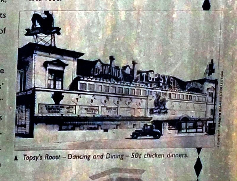
The Ocean Beach Pavillion, a concert and dance hall adjacent to the Seal Rock House, attracted music lovers when it opened in 1884 (it also served as the training quarters for boxers, including champion Jack Johnson). The dance hall was variously named The Bagdad, The Sahara, and Hawaiiland before becoming in 1927 the longtime home of the popular restaurant and nightclub Topsy's Roost. At this poultry palace, diners indulged in fifty-cent chicken dinners, flew their upstairs dining "coops" by shooting down a slide to the dance floor, and spent the evening boogying to the sounds of Red Lockwood and his Musical Roosters. During the 1960s it catered to another generation as rock 'n' roll club The Family Dog before ultimately becoming a slot-car raceway.
Sutro Baths, which opened to the public in 1896, brought more visitors to the west end of San Francisco to swim in the fresh- and salt-water pools and watch swimming competitions. The baths also offered unusual entertainment: the "Anthropic Amphibian" who ate, drank, slept, and even smoked while submerged; Professor M. H. Gay and Jack, his high-driving pooch; "Zeda, the boneless boy wonder"; and exhibits of knights' armor, totem poles, Egyptian mummies, and hundreds of other eclectic artifacts.
Amusement park Playland-at-the-Beach was a latecomer as a seaside attraction, but its origins derive from a nineteenth-century squatters' settlement across from Ocean Beach called "Mooneysville-by-the-Sea." In the late 1800s, Mooneysville residents built a row of carnival stands that became equally if not more popular with visitors than the impressive neighboring establishments. By the early 1900s, the squatters' carnival grew into a burgeoning amusement center and remained a San Francisco institution until 1972.
"In the Fun House there was the spinning disc that just reminded me, I guess, of life...because you struggled to stay on it and be the last one left...but in doing so, you'd miss out on the fun of spinning off..."
Michael Pedroni
Erected 1996.
Topics. This historical marker
is listed in this topic list: Entertainment. A significant historical year for this entry is 1863.
Location. 37° 46.407′ N, 122° 30.595′ W. Marker is in San Francisco, California, in San Francisco City and County. It is in Outer Richmond. Marker is at the intersection of La Playa Street and Cabrillo Street, on the right when traveling north on La Playa Street. Touch for map. Marker is in this post office area: San Francisco CA 94121, United States of America. Touch for directions.
Other nearby markers. At least 8 other markers are within walking distance of this marker. A Memorable Muse (here, next to this marker); Hints of History (here, next to this marker); Turning Sand to Gold (a few steps from this marker); Ticket to Ride (a few steps from this marker); Historical Site (within shouting distance of this marker); North Dutch Windmill (approx. 0.2 miles away); Roald Amundsen (approx. ¼ mile away); The Sutro Home (approx. 0.3 miles away). Touch for a list and map of all markers in San Francisco.
Also see . . .
1. Vestiges of Land's End. National Park Service entry (Submitted on March 10, 2021, by Larry Gertner of New York, New York.)
2. Cliff House, San Francisco. Wikipedia entry (Submitted on April 9, 2019, by Joel Seewald of Madison Heights, Michigan.)
3. Sutro Baths History. National Park Service Golden Gate National Recreation Area, California entry (Submitted on April 9, 2019, by Joel Seewald of Madison Heights, Michigan.)
Credits. This page was last revised on February 7, 2023. It was originally submitted on April 9, 2019, by Joel Seewald of Madison Heights, Michigan. This page has been viewed 178 times since then and 8 times this year. Photos: 1, 2, 3, 4, 5, 6. submitted on April 9, 2019, by Joel Seewald of Madison Heights, Michigan.
