San Luis Potosí, Mexico — The Northeast (and Central Highlands)
Government Palace / Vicereine’s House
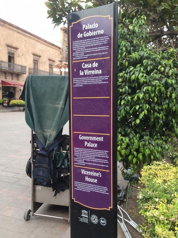
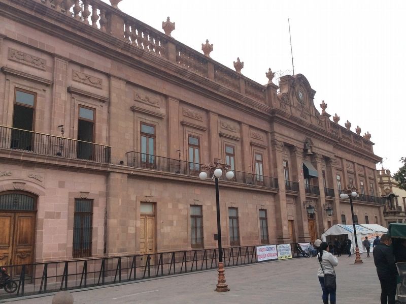
Fue construido a finales del siglo XVIII por orden del Visitador José de Gálvez en sustitución de las Casas Reales que fueron destruidas por los “tumultos” resultado de la expulsión de los Jesuitas de la ciudad en 1767. Se inició la construcción a partir del diseño neoclásico del ingeniero militar Miguel Constanzó en 1798, lográndose concluir hasta 1827.
A partir de 1824 fue sede del Gobierno del Estado, Ayuntamiento, el Supremo Tribunal de Justicia y la Legislatura. El 16 de septiembre de 1910 se inauguró el reloj en su fachada.
En 1966 el edificio fue ampliado por los arquitectos Cossío y Algara para ocupar la totalidad de la manzana.
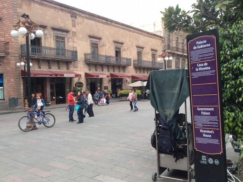
Casa de la Virreina
Ubicada al norte de la Plaza de Armas. Esta casa perteneció al alférez don Manuel de la Gándara, tío de doña Francisca de la Gándara, virreina de la Nueva España por su matrimonio con el brigadier don Félix María Calleja del Rey.
Aunque la casa fue alterada, conserva la estructura original del patio, con sus arcadas y escaleras.
Government Palace
This building was built at the end of the 18th century following orders of Official Visitor Jose de Gálvez to replace the Royal Houses that were destroyed by the “commotion” which resulted from the expel of the Jesuits from the city in 1767. Construction began with the design by the neoclassical military engineer, Miguel Costanzó in 1798, and was finally finished in 1827.
From 1824 it became the seat of the State Government, the City Council, the Court of Justice, and the Legislature. On September 16, 1910, the clock on its facade was inaugurated.
In 1966 the building was enlarged by architects Cossío and Algara to take up the whole square block.
Vicereine’s House
Located north of the Plaza de Armas (Weapons Plaza), this house belonged to Second Lieutenant Manuel de la Gándara, the uncle of Francisca de la Gándara, Vicereine of New Spain by marriage to Brigadier Félix María Calleja del Rey.
Though the house has been altered, it still maintains the original structure of the patio with its arcades and stairs.
Erected by United Nations Educational, Scientific and Cultural Organization (UNESCO), Camino Real de Tierra Adentro.
Topics. This historical marker is listed in these topic lists: Architecture • Colonial Era • Man-Made Features. A significant historical date for this entry is September 16, 1910.
Location.
22° 9.112′ N, 100° 58.601′ W. Marker is in San Luis Potosí. Marker is on Jardín Hidalgo just north of Francisco I. Madero, on the right when traveling north. Touch for map. Marker is in this post office area: San Luis Potosí 78000, Mexico. Touch for directions.
Other nearby markers. At least 8 other markers are within walking distance of this marker. The House of the Vicereine (within shouting distance of this marker); Government Palace (within shouting distance of this marker); Former House of the Vicereine (within shouting distance of this marker); Arms Square / City Hall (within shouting distance of this marker); Royal Treasure / Monumental Palace (within shouting distance of this marker); Former Othón Theater (within shouting distance of this marker); Metropolitan Cathedral / Vicereine's Balcony (within shouting distance of this marker); Municipal Palace (within shouting distance of this marker). Touch for a list and map of all markers in San Luis Potosí.
Credits. This page was last revised on April 9, 2019. It was originally submitted on April 9, 2019, by J. Makali Bruton of Accra, Ghana. This page has been viewed 90 times since then and 10 times this year. Photos: 1, 2, 3. submitted on April 9, 2019, by J. Makali Bruton of Accra, Ghana.


