Miami in Miami-Dade County, Florida — The American South (South Atlantic)
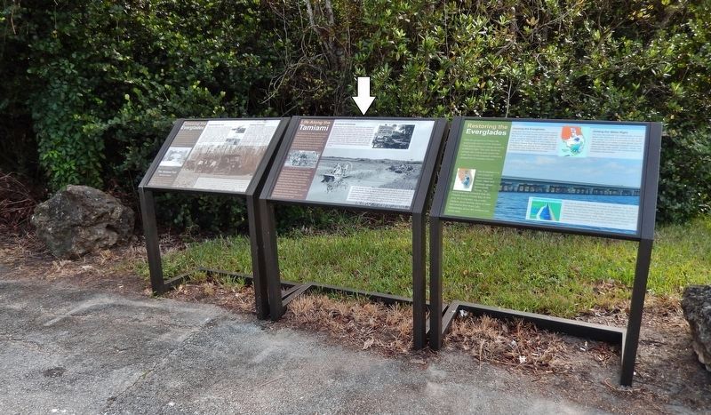
Life Along the Tamiami
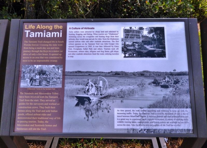
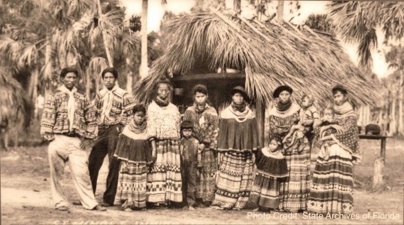
The Seminole and Miccosukee Tribes have been involved with the Tamiami Trail from the start. They served as guides for the surveyors and worked on construction crews. They built their homes along the Trail and sold Indian goods, offered airboat rides and demonstrated their traditional way of life to passing tourists. Today, the Miccosukee and Seminole homes and businesses still dot the Trail.
A Culture of Airboats
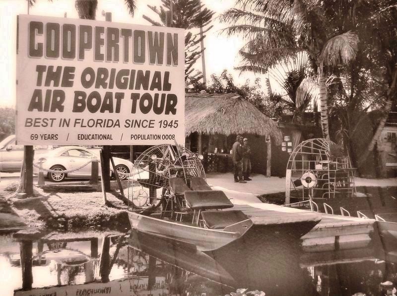
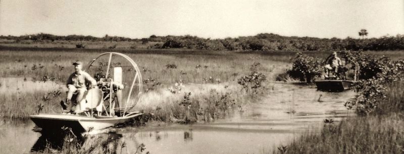
Early settlers were attracted by cheap land and subsisted by hunting, frogging, and fishing. When tourists saw "Gladesmen" skimming across the everglades and hunting frogs from their airboats, they would stop and ask for rides. Soon the Gladesmen opened airboat rides and other roadside attractions. The first airboat operator on the Tamiami Trail was John Cooper who opened Coopertown in 1945. It was later followed by Gator Park, Everglades Safari Park and others. Tourism took off. Restaurants, airboat rides, alligator and frog farms, gift shops, and other roadside attractions lined the route; enticing travelers to stop.
As time passed, the road needed upgrading and widening to keep up with the increasing traffic. Today the Tamiami Trail is used by thousands of cars a day to travel between Miami and Naples. It traverses federal and state protected areas and is a great way to experience the Everglades ecosystem. A variety of walking trails, wildlife viewing areas, campgrounds, and visitor centers are available as you drive across the state. Take the time to stop and explore all the Trail has to offer!
Topics. This historical marker is listed in these topic lists: Industry & Commerce • Native Americans • Parks & Recreational Areas • Roads & Vehicles.
Location. 25° 45.65′ N, 80° 45.978′ W. Marker is in Miami, Florida, in Miami-Dade County. Marker is on Shark Valley Loop Road south of Tamiami Trail (Southwest 8th Street) (U.S. 41), on the left when traveling south. Marker is located at the intersection of Shark Valley Loop Road and Old Tamiami Trail, near the entrance to Everglades National Park Shark Valley Visitor Center. Touch for map. Marker is in this post office area: Miami FL 33194, United States of America. Touch for directions.
Other nearby markers. At least 2 other markers are within walking distance of this marker. Crossing the Everglades (here, next to this marker); Restoring The Everglades (here, next to this marker).
Related markers. Click here for a list of markers that are related to this marker. Tamiami Trail and the Everglades
Also see . . . Tamiami Trail and the Seminoles. When the highway opened, it exposed the once isolated Seminole camps to the modern world. The Seminole or Miccosukee Indians in the area moved their camps along the highway where they would open them up to tourists travelling from Tampa to Miami. With the villages along the trail, they could still live their traditional way and earn money from the people visiting their village. They sold crafts, wrestled alligators, and put their village on display for people to see. (Submitted on April 14, 2019, by Cosmos Mariner of Cape Canaveral, Florida.)
Credits. This page was last revised on April 14, 2019. It was originally submitted on April 13, 2019, by Cosmos Mariner of Cape Canaveral, Florida. This page has been viewed 201 times since then and 13 times this year. Photos: 1, 2, 3, 4, 5. submitted on April 14, 2019, by Cosmos Mariner of Cape Canaveral, Florida.
