Near Sperryville in Rappahannock County, Virginia — The American South (Mid-Atlantic)
Old Rag
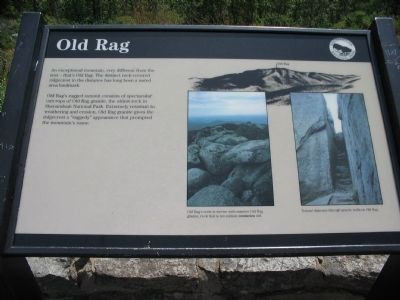
Old Rag's rugged summit consists of spectacular outcroppings of Old Rag granite, the oldest rock in Shenandoah National Park. Extremely resistant to weathering and erosion, Old Rag granite gives the ridgecrest a "rugged" appearance that prompted the mountain's name.
Erected by Shenandoah National Park.
Topics. This historical marker is listed in this topic list: Natural Features.
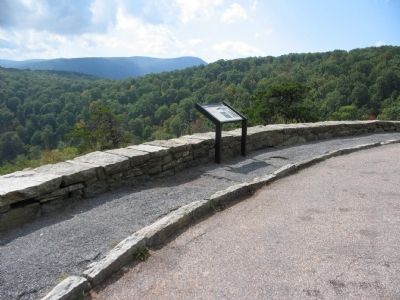
Location. 38° 37.348′ N, 78° 19.381′ W. Marker is near Sperryville, Virginia, in Rappahannock County. Marker is on Skyline Drive, on the left when traveling south. Located at the Pinnacles Overlook in Shenandoah National Park. Touch for map. Marker is in this post office area: Sperryville VA 22740, United States of America. Touch for directions.
Other nearby markers. At least 8 other markers are within 3 miles of this marker, measured as the crow flies. If These Walls Could Talk (approx. 0.9 miles away); Civilian Conservation Corps (approx. 1.1 miles away); Marys Rock Tunnel (approx. 2.1 miles away); Rocks Older than Mankind (approx. 2.1 miles away); Old Man in the Mountain (approx. 2.3 miles away); The Greatest Single Feature (approx. 2.6 miles away); Thornton Gap (approx. 2.6 miles away); Rappahannock County / Page County (approx. 2.6 miles away). Touch for a list and map of all markers in Sperryville.
More about this marker. On the right side of the marker is a profile of the mountain indicating the summit. A Photo below and to the left of the profile shows Old Rag's crest is strewn with massive Old Rag granite, rock that is ten million centuries old. To the lower right is a photo of a Natural staircase through granite walls on Old Rag.
Also see . . . Old Rag Trail. The trail is no easy climb. (Submitted on November 2, 2008, by Craig Swain of Leesburg, Virginia.)

Photographed By Craig Swain, October 4, 2008
3. Old Rag and Surrounding Area
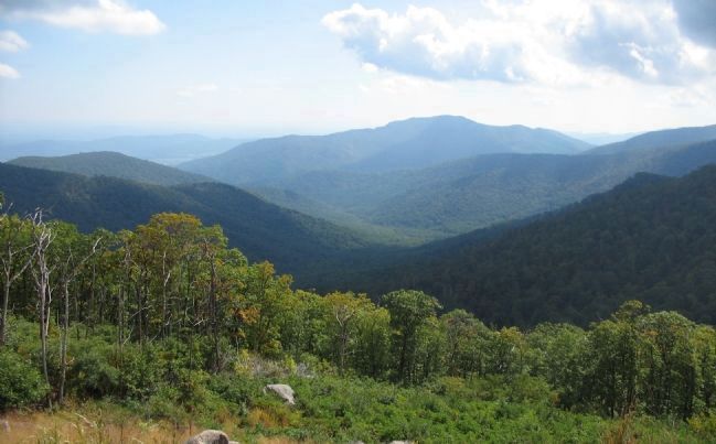
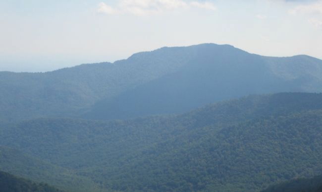
Looking southeast toward Old Rag. The valley below is drained by Hannah Run. To the left are Catlett Mountain, Hot Mountain, and Short Mountain. On the right is part of Corbin Mountain. The highest peak, in the far distant center, is Old Rag. The straight line distance from the overlook to Old Rag is about five miles.
Credits. This page was last revised on June 16, 2016. It was originally submitted on November 2, 2008, by Craig Swain of Leesburg, Virginia. This page has been viewed 1,391 times since then and 37 times this year. Photos: 1, 2, 3, 4. submitted on November 2, 2008, by Craig Swain of Leesburg, Virginia.


