Central Business District in New Orleans in Orleans Parish, Louisiana — The American South (West South Central)
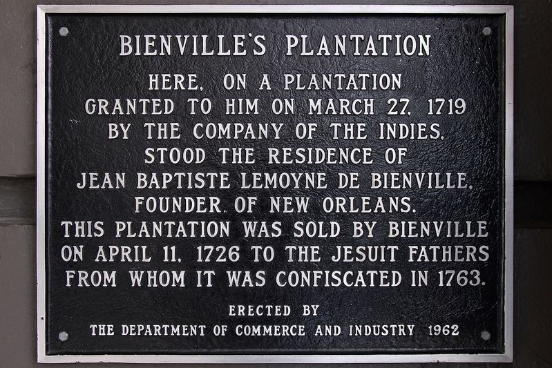
Bienville's Plantation
granted to him on March 27, 1719
by the company of the Indies,
stood the residence of
Jean Baptiste LeMoyne de Bienville,
founder of New Orleans.
This plantation was sold by Bienville
on April 11, 1726 to the Jesuit Fathers
from whom it was confiscated in 1763.
Erected 1962 by The Department of Commerce and Industry.
Topics. This historical marker is listed in this topic list: Settlements & Settlers. A significant historical date for this entry is March 27, 1719.
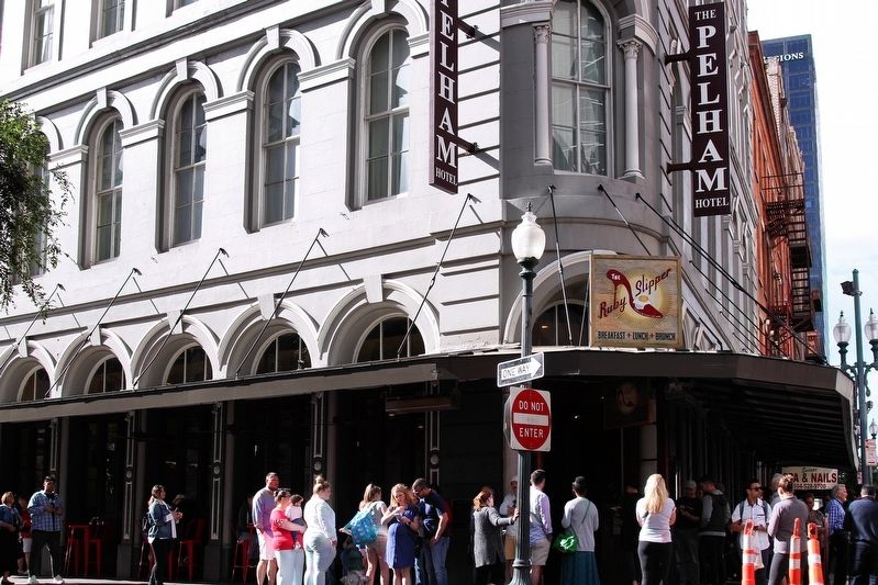
Location. 29° 57.063′ N, 90° 4.045′ W. Marker is in New Orleans, Louisiana, in Orleans Parish. It is in the Central Business District. Marker is at the intersection of Common Street and Magazine Street, on the right when traveling east on Common Street. Marker is mounted on the north wall of The Pelham Hotel. Touch for map. Marker is at or near this postal address: 200 Magazine Street, New Orleans LA 70130, United States of America. Touch for directions.
Other nearby markers. At least 8 other markers are within walking distance of this marker. 114 Magazine Street (a few steps from this marker); United States Customhouse (about 400 feet away, measured in a direct line); Canal Street Historic District (about 400 feet away); Bank’s Arcade (about 500 feet away); Merchants Mutual Insurance Company Building (about 800 feet away); Bank of Louisiana in New Orleans (approx. 0.2 miles away); America's First Movie Theater / Vitascope Hall (approx. 0.2 miles away); Jefferson Highway (approx. 0.2 miles away). Touch for a list and map of all markers in New Orleans.
Credits. This page was last revised on February 12, 2023. It was originally submitted on April 21, 2019, by Larry D. Moore of Del Valle, Texas. This page has been viewed 1,107 times since then and 97 times this year. Photos: 1, 2. submitted on April 21, 2019, by Larry D. Moore of Del Valle, Texas. • Andrew Ruppenstein was the editor who published this page.

