Cuero in DeWitt County, Texas — The American South (West South Central)
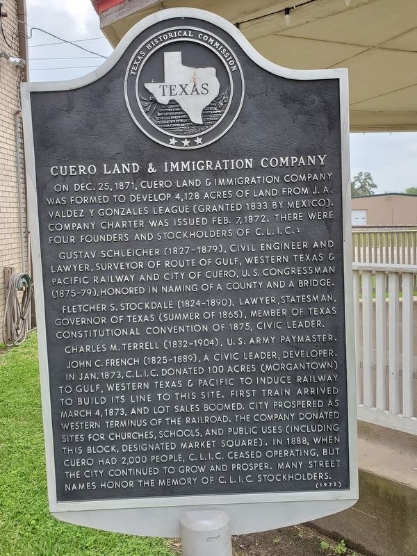
Cuero Land and Immigration Company
Gustav Schleicher (1827-1879), civil engineer and lawyer, surveyor of route of Gulf, Western Texas & Pacific Railway and city of Cuero, U.S. Congressman (1875-79), honored in naming of a county and a bridge.
Fletcher S. Stockdale (1824-1890), lawyer, statesman, Governor of Texas (summer of 1865), member of Texas Constitutional Convention of 1875, civic leader.
Charles M. Terrell (1832-1904), U.S. Army paymaster.
John C. French (1825-1889), a civic leader, developer.
In Jan. 1873, C.L.I.C. donated 100 acres (Morgantown) to Gulf, Western Texas & Pacific to induce railway to build its line to this site. First train arrived March 4, 1873, and lot sales boomed. City prospered as western terminus of the railroad. The company donated sites for churches, schools, and public uses (including this block, designated market square). In 1888, when Cuero had 2,000 people, C.L.I.C. ceased operating, but the city continued to grow and prosper. Many street names honor the memory of C.L.I.C. stockholders.
Erected 1973 by Texas Historical Commission. (Marker Number 1127.)
Topics. This historical marker is listed in these topic lists: Industry & Commerce • Railroads & Streetcars • Settlements & Settlers. A significant historical date for this entry is December 25, 1871.
Location. 29° 5.358′ N, 97° 17.373′ W. Marker is in Cuero, Texas, in DeWitt County. Marker is at the intersection of East Main Street and North Clinton Street, on the right when traveling east on East Main Street. Touch for map. Marker is at or near this postal address: 219 East Main Street, Cuero TX 77954, United States of America. Touch for directions.
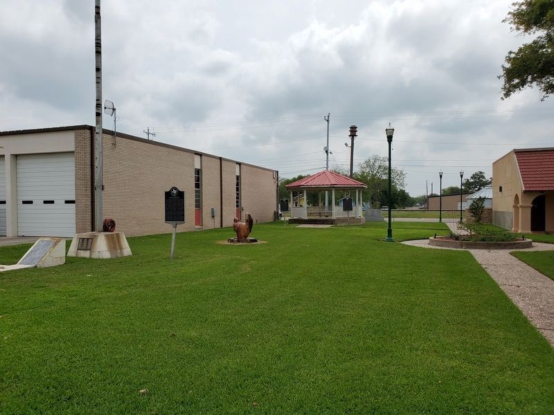
Other nearby markers. At least 8 other markers are within walking distance of this marker. Early Texas Bandstands (here, next to this marker); Brayton Flying Field (a few steps from this marker); St. Michael's Catholic Church (about 700 feet away, measured in a direct line); Buchel Bank (about 700 feet away); First United Methodist Church of Cuero (about 800 feet away); DeWitt County War Memorial (approx. 0.2 miles away); De Witt County Courthouse (approx. 0.2 miles away); Keller-Grunder House (approx. 0.2 miles away). Touch for a list and map of all markers in Cuero.
Credits. This page was last revised on April 22, 2019. It was originally submitted on April 22, 2019, by Brian Anderson of Humble, Texas. This page has been viewed 196 times since then and 11 times this year. Photos: 1, 2. submitted on April 22, 2019, by Brian Anderson of Humble, Texas.

