Hodgenville in Larue County, Kentucky — The American South (East South Central)
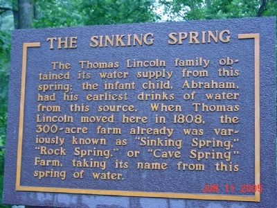
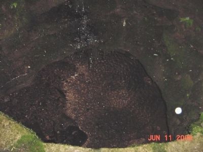
The Sinking Spring
Topics. This historical marker is listed in this topic list: Waterways & Vessels. A significant historical year for this entry is 1808.
Location. 37° 31.85′ N, 85° 44.241′ W. Marker is in Hodgenville, Kentucky, in Larue County. Marker can be reached from Lincoln Farm Road (Kentucky Route 31E). Marker is on the grounds of the Abraham Lincoln Birthplace National Historic Park. Touch for map. Marker is in this post office area: Hodgenville KY 42748, United States of America. Touch for directions.
Other nearby markers. At least 8 other markers are within 2 miles of this marker, measured as the crow flies. The Memorial Building (a few steps from this marker); a different marker also named Sinking Spring (a few steps from this marker); An Enduring Symbol (within shouting distance of this marker); An Idyllic Frontier Scene (within shouting distance of this marker); The Boundary Oak (within shouting distance of this marker); Nancy Lincoln Inn (about 300 feet away, measured in a direct line); Abraham Lincoln Birthplace (about 500 feet away); Grave of Frontiersman / South Fork Baptist Church (approx. 1.9 miles away). Touch for a list and map of all markers in Hodgenville.
Credits. This page was last revised on November 20, 2019. It was originally submitted on November 2, 2008, by Bill Pfingsten of Bel Air, Maryland. This page has been viewed 1,582 times since then and 19 times this year. Photos: 1, 2. submitted on November 2, 2008, by Bill Pfingsten of Bel Air, Maryland.

