Near Lucketts in Loudoun County, Virginia — The American South (Mid-Atlantic)
Early Crosses At White's Ford
"An immense amount of damage has been done the enemy"
— Early's 1864 Attack On Washington —
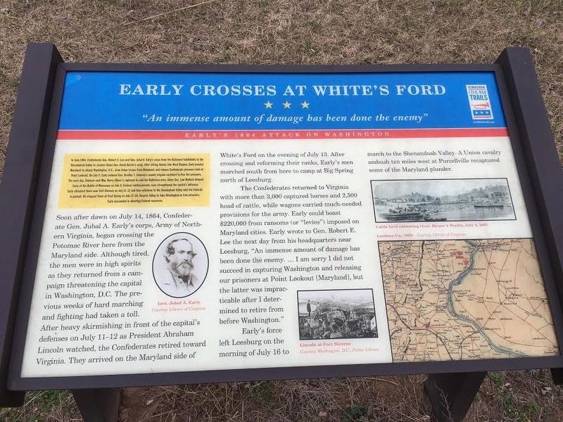
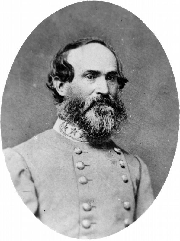
In June 1864, Confederate Gen. Robert E. Lee sent Gen. Jubal A. Early's corps from the Richmond battlefields to the Shenandoah Valley to counter Union Gen. David Hunter's army. After driving Hunter into West Virginia, Early invaded Maryland to attack Washington D.C., draw Union troops from Richmond, and release Confederate prisoners held at Point Lookout. On July 9, Early ordered Gen. Bradley T. Johnson's cavalry brigade eastward to free the prisoners. The next day, Johnson sent Maj. Harry Gilmor's regiment to raid the Baltimore area. Union Gen. Lew Wallace delayed Early at the Battle of Monocacy on July 9. Federal reinforcements soon strengthened the capital's defenses. Early attacked there near Fort Stevens on July 11-12 and then withdrew to the Shenandoah Valley with the Federals in Pursuit. He stopped them at Cool Spring on July 17-18. Despite failing to take Washington or free prisoners, Early succeeded in diverting Federal resources.
(main text)
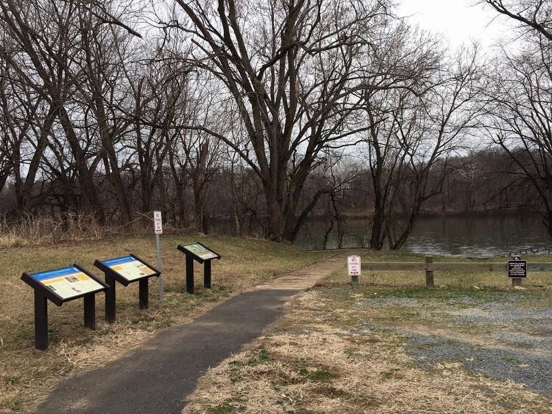
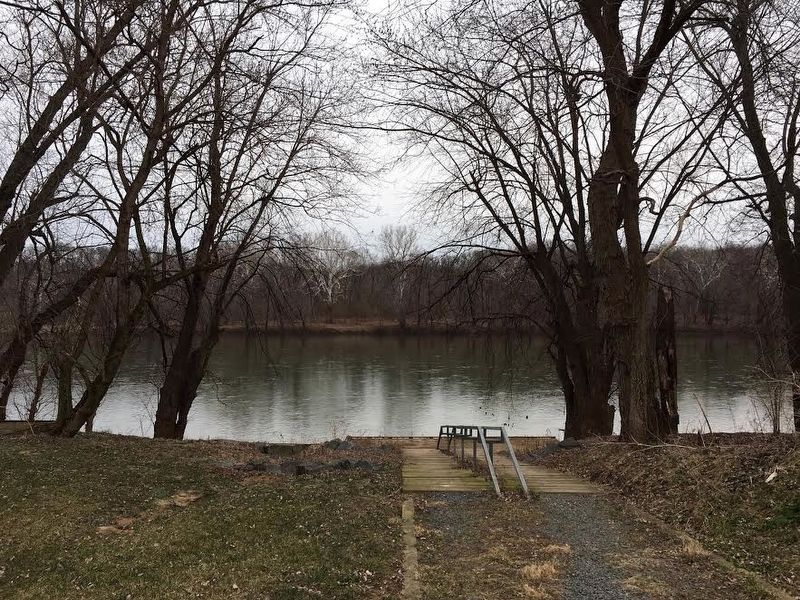
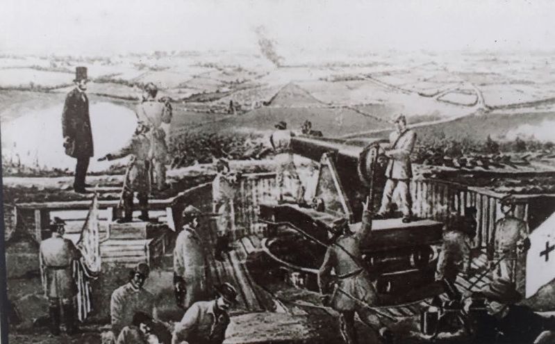
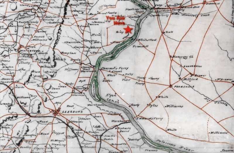
Soon after dawn on July 14, 1864, Confederate Gen. Jubal A. Early's corps, Army of Northern Virginia, began crossing the Potomac River here from the Maryland side. Although tired, the men were in high spirits as they returned from a campaign threatening the capital in Washington D.C. The precious weeks of hard marching and fighting had taken a toll. After heavy skirmishing in front of the capital's defenses on July 11-12 as President Abraham Lincoln watched, the Confederates retired toward Virginia. They arrived on the Maryland side of White's Ford on the evening of July 13. After crossing and reforming their ranks, Early's men marched south from here to camp at Big Spring north of Leesburg.
The Confederates returned to Virginia with more than 3,000 captured horses and 2,500 head of cattle, while wagons carried much-needed provisions for the army. Early could boast $220,000 from ransoms (or "levies") imposed on Maryland cities. Early wrote to Gen. Robert E. Lee the next day from his headquarters near Leesburg, "An immense amount of damage has been done the enemy. …I am sorry I did not succeed in capturing Washington and releasing our prisoners at Point Lookout [Maryland], but the latter was impracticable after I determined to retire from before Washington."
Early's force left Leesburg on the morning of July 16 to march to the Shenandoah Valley. A Union cavalry ambush ten miles west of Purcellville recaptured some of the Maryland plunder.
Erected by Virginia Civil War Trails.
Topics and series. This historical marker is listed in these topic lists: War, US Civil • Waterways & Vessels. In addition, it is included in the Virginia Civil War Trails series list. A significant historical date for this entry is July 14, 1864.
Location. 39° 11.252′ N, 77° 28.994′ W. Marker is near Lucketts, Virginia, in Loudoun County. Marker can be reached from Hibler Road (Virginia Route 656) east of Harrison Hill Lane, on the right when traveling east. Located in White's Ford Regional Park at the end of the access road (0.4 m south) on the left as you face the Potomac River. Touch for map. Marker is at or near this postal address: 43646 Hibler Rd, Leesburg VA 20176, United States of America. Touch for directions.
Other nearby markers. At least 8 other markers are within 3 miles of this marker, measured as the crow flies. Lee Crosses Into Maryland (here, next to this marker); The Monacan Confederacy and Culture (a few steps from this marker); White's Ford (approx. half a mile away in Maryland); a different marker also named White's Ford (approx. 0.9 miles away in Maryland); a different marker also named White’s Ford (approx. 1.7 miles away in Maryland); Warren Historic Site (approx. 1.7 miles away in Maryland); Linden Farm (approx. 2 miles away in Maryland); Seneca Stone Barn (approx. 2.1 miles away in Maryland).
Also see . . .
1. Want to really tread hallowed ground?. Baltimore Sun website entry:br> Maryland commuters have long known that there are only three ways to cross the Potomac between Point of Rocks and the nation's capital. What they don't know is that a century and a half ago, there were more than a dozen. (Submitted on March 15, 2017, by Brandon Stahl of Fairfax, Virginia.)
2. White's Ford Regional Park - History. Northern Virginia Regional Park Authority (Submitted on March 16, 2017.)
Credits. This page was last revised on April 24, 2022. It was originally submitted on March 15, 2017, by Brandon Stahl of Fairfax, Virginia. This page has been viewed 786 times since then and 30 times this year. Last updated on April 25, 2019, by Allen C. Browne of Silver Spring, Maryland. Photos: 1, 2, 3, 4, 5. submitted on March 15, 2017, by Brandon Stahl of Fairfax, Virginia. 6. submitted on June 6, 2018, by Allen C. Browne of Silver Spring, Maryland. 7. submitted on April 25, 2019, by Allen C. Browne of Silver Spring, Maryland. • Bernard Fisher was the editor who published this page.
