Villa de Reyes, San Luis Potosí, Mexico — The Northeast (and Central Highlands)
The Viceregal Powers in Villa de Reyes
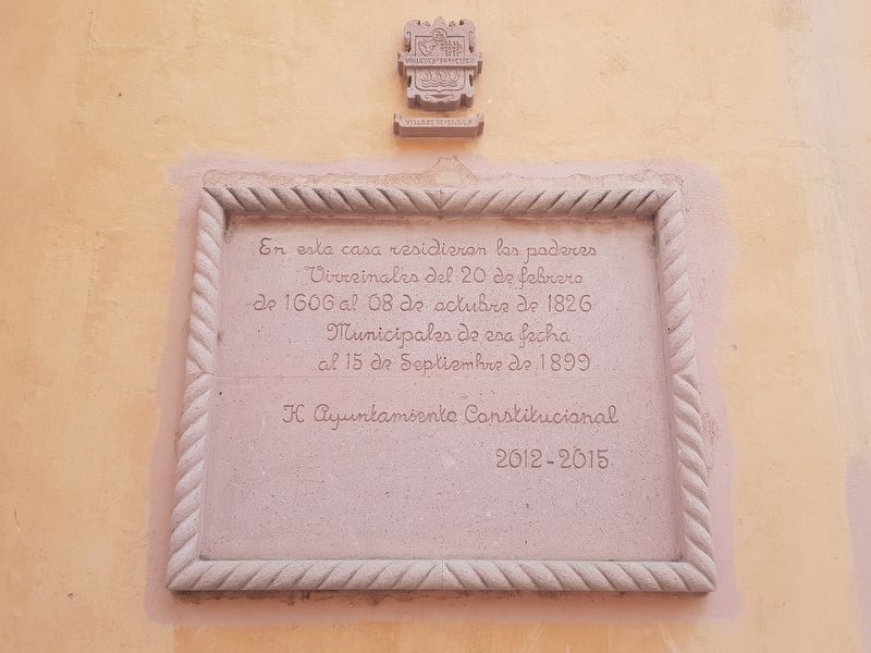
Municipales de esa fecha al 15 de Septiembre de 1899
H. Ayuntamiento Constitucional 2012-2015
In this house resided the Viceregal powers from February 20, 1606 until October 8, 1826. From then until September 15, 1899 it housed the Municipal Government.
Honorable Constitutional City Hall 2012-2015
Erected 2012 by Honorable Ayuntamiento Constitucional de Villa de Reyes de 2012-2015.
Topics. This historical marker is listed in this topic list: Colonial Era. A significant historical date for this entry is February 20, 1606.
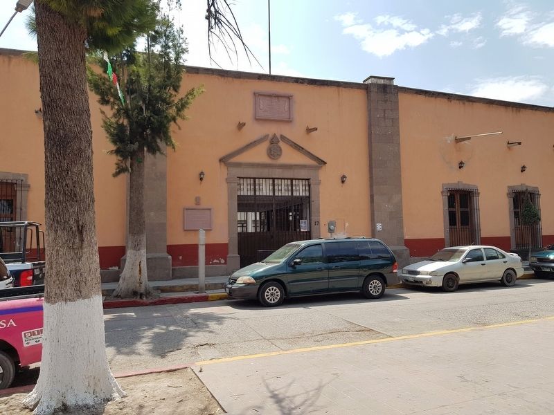
Location. 21° 48.205′ N, 100° 55.904′ W. Marker is in Villa de Reyes, San Luis Potosí. Marker is on Independencia just east of Villerias, on the right when traveling east. Touch for map. Marker is in this post office area: Villa de Reyes SL 79500, Mexico. Touch for directions.
Other nearby markers. At least 8 other markers are within 21 kilometers of this marker, measured as the crow flies. First Centenary of the Land Restitution Decree (within shouting distance of this marker); Saint Francis of Assisi Parish (within shouting distance of this marker); The Fortress (about 120 meters away, measured in a direct line); Tourism Office (approx. 20.1 kilometers away); Foundation of Santa María del Río (approx. 20.1 kilometers away); City Hall (approx. 20.1 kilometers away); Purísima Chapel (approx. 20.1 kilometers away); Otomíes and Guachichiles (approx. 20.1 kilometers away). Touch for a list and map of all markers in Villa de Reyes.

Photographed By J. Makali Bruton, March 18, 2019
2. An additional Villa de Reyes Marker
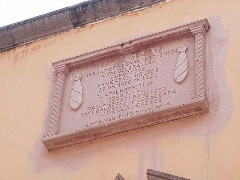
This additional marker is located high above the entrance on the same building as the featured marker. It appears to note the main historic phases of the town, including the many names it has had. It reads:
Epoca prehispánica
Guerra de la Gran Chichimeca
Evangelizacion
Fundacion
25 de abril de 1853
16 de mayo de 1862
Tlapalnochitlan
Gran Tunal
Valle de San Francisco
San Francisco de los Aldama
Villa de Reyes
H. Ayuntamiento 2012-2015
Guerra de la Gran Chichimeca
Evangelizacion
Fundacion
25 de abril de 1853
16 de mayo de 1862
Tlapalnochitlan
Gran Tunal
Valle de San Francisco
San Francisco de los Aldama
Villa de Reyes
H. Ayuntamiento 2012-2015
Credits. This page was last revised on January 5, 2020. It was originally submitted on April 28, 2019, by J. Makali Bruton of Accra, Ghana. This page has been viewed 107 times since then and 15 times this year. Photos: 1. submitted on April 28, 2019, by J. Makali Bruton of Accra, Ghana. 2. submitted on April 29, 2019, by J. Makali Bruton of Accra, Ghana. 3. submitted on April 28, 2019, by J. Makali Bruton of Accra, Ghana.

